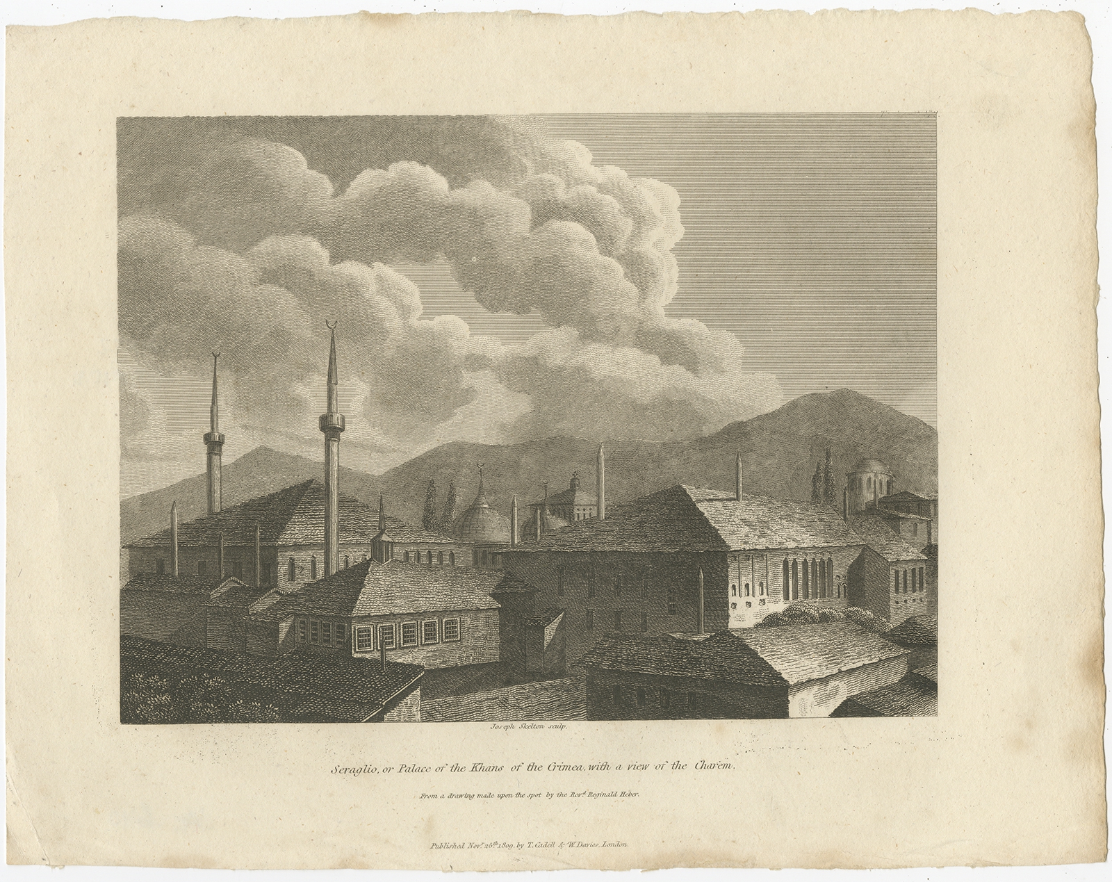
Jakarta Collection
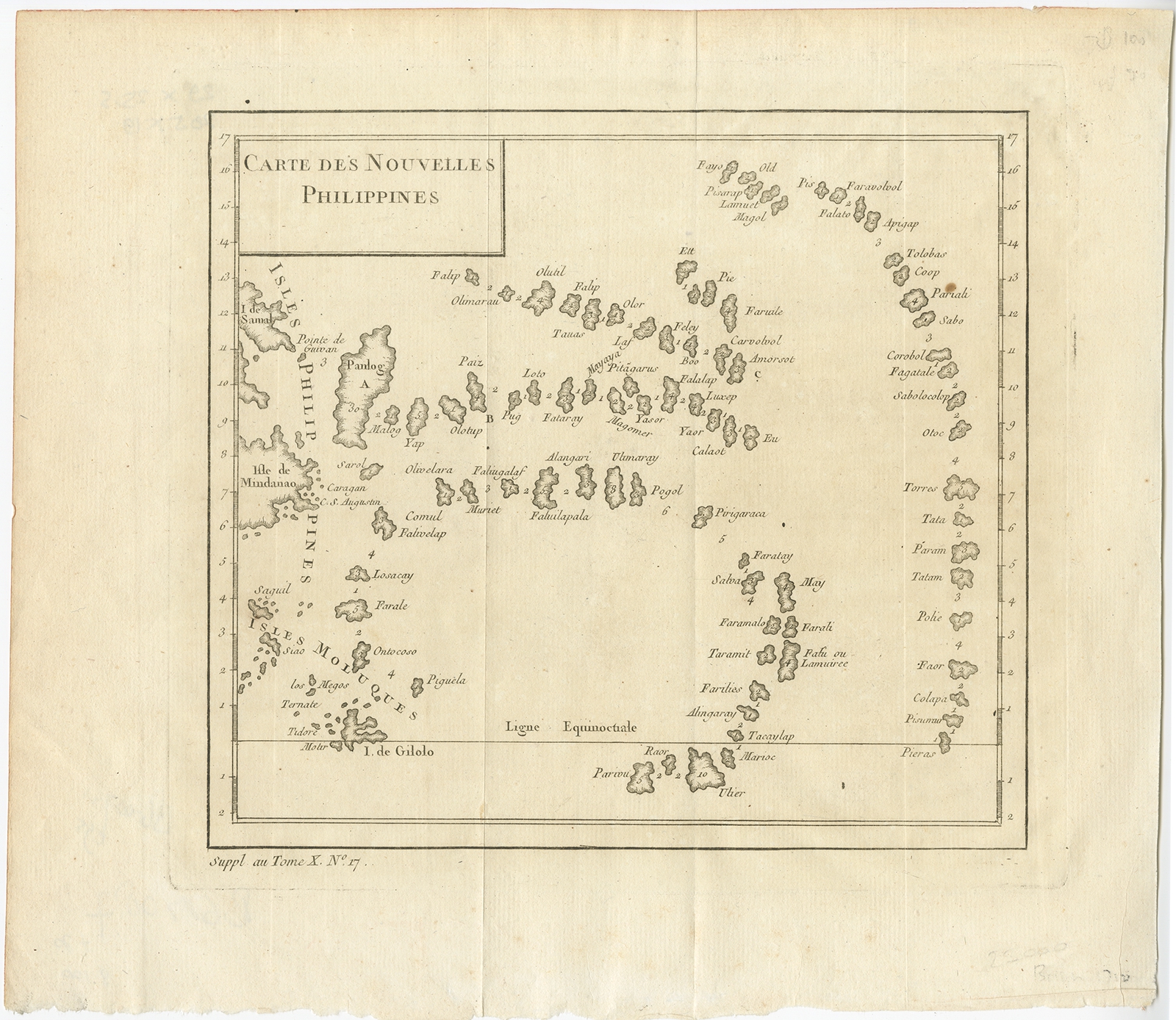
Carte des Nouvelles Philippines – Bellin (c.1750)
Description: Antique map Asia titled ‘Carte des Nouvelles Philippines’. Antique map of the Philippines, an archipelago in South-East Asia. This map depicts Indonesia and Mirconesia and originates from ‘Petit Atlas Francais’.
Artists and Engravers: Jacques Nicolas Bellin (1703-1772) was one of the most important and proficient French cartographers of the mid-eighteenth century. He was appointed the first Ingenieur Hydrographe de la Marine, and also Official Hydrographer to the French King.
- Date: c.1750
- Overall size: 29 x 25.5 cm.
- Image size: 20.5 x 19 cm.
- Condition: Very good, minor foxing. Please study image carefully.