Jakarta Collection
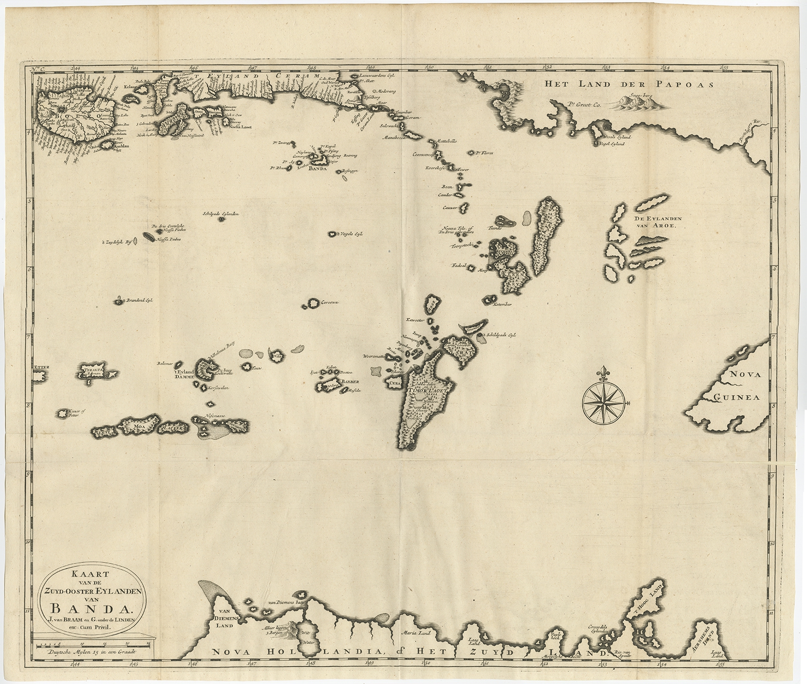
Kaart van de Zuyd-Ooster Eylanden van Banda II – Valentijn (1726)
Description: Antique map Indonesia titled ‘Kaart van de Zuyd-Ooster Eylanden van Banda’. Map of the southeastern part of the Banda islands. This map originates from ‘Oud en Nieuw Oost-Indiën’ by F. Valentijn.
Artists and Engravers: François Valentijn (1666-1727), a missionary, worked at Amboina from 1684 to 1694 and 1705 to 1713 and travelled extensively in the VOC’s lands.
- Date: 1726
- Overall size: 59 x 50 cm.
- Image size: 56 x 45 cm.
- Condition: Good, repair on lower folding line. Please study image carefully.
- Purchase code: BGRN-246


