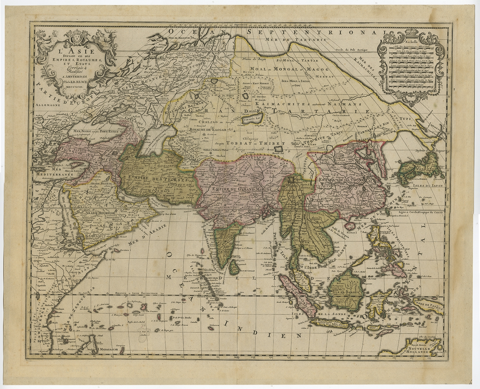
L’ Asie Divisee en ses Empires, Royaumes, et Etats – Elwe (c.1792)
Description: Antique print, titled: ‘L’ Asie Divisee en ses Empires, Royaumes, et Etats’ – Attractive, large map of Asia including all of Southeast Asia. The cartography is archaic for the period with the continental outline following the Sanson-Jaillot model. Shows cities, towns, rivers, mountain ranges etc. Covers the area from the East African coast to New Guinea and from the Artic to Northern Australia. The island of Hokkaido is attached to the mainland as part of the Yupi peninsula and Korea is a long skinny peninsula. The decorative title and distance scale cartouches are also very similar to Jaillot’s map of 1692.
Source unknown, to be determined.
Artists and Engravers: Made by ‘Jan Barend Elwe’ after an anonymous artist. Amsterdam bookseller and publisher J.B. (Jan Barend) Elwe (1785-1809).
- Date: 1792
- Technic: Etching / engraving with contemporary hand colouring on hand laid paper.
- Overall size: 25,4 x 20,7 inch
- Image size: 23 x 18,4 inch
- Condition: Good, given age. Edges on verso with remnants of tape from former framing. Light scattered foxing. Damp stain lower right corner. Original middle fold as issued. General age-related toning and/or occasional minor defects from handling. Please study scan carefully.
- PartNumber: PCT-58887
- Storage Location: BG-B7-10
- Price : 837,5 Euro / 999 USD / 14.400.000 IDR