Jakarta Collection
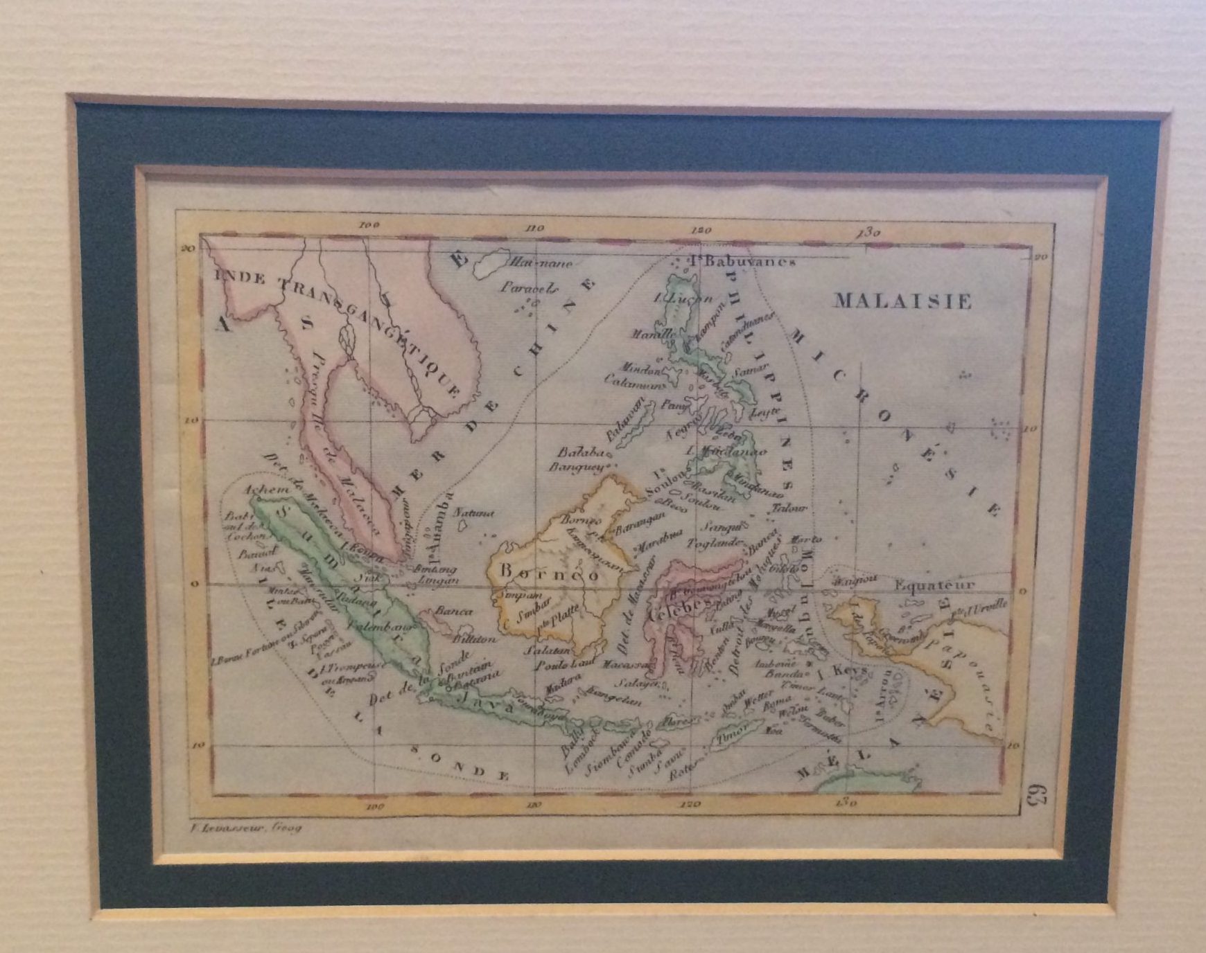
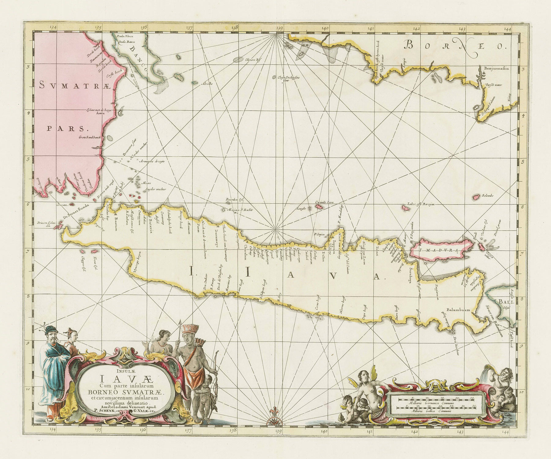
Malay Archipelago – Levasseur (c.1838)
A small attractive early 19th century French map of Malay Archipelago, centered in East Indies or Indonesia with an original outline colour. Depicting Malacca until Papoeasie (New Guinea) as shown.
A small attractive early 19th century French map of Malay Archipelago, centered in East Indies or Indonesia with an original outline colour. Depicting Malacca until Papoeasie (New Guinea) as shown.
Artists and Engravers: Victor Levasseur (1795–1862) was a French cartographer widely known for his distinctive decorative style. He produced numerous maps more admired for the artistic content of the scenes and data surrounding the map than for the detail of the map.
- Date: 1838
- Overall size with passepartout: 32 x 28 cm
- Image size : 13,5 x 10,5 cm
- Condition: Good condition apart from some age-toning of the paper
- Purchase code: M1095
