Jakarta Collection
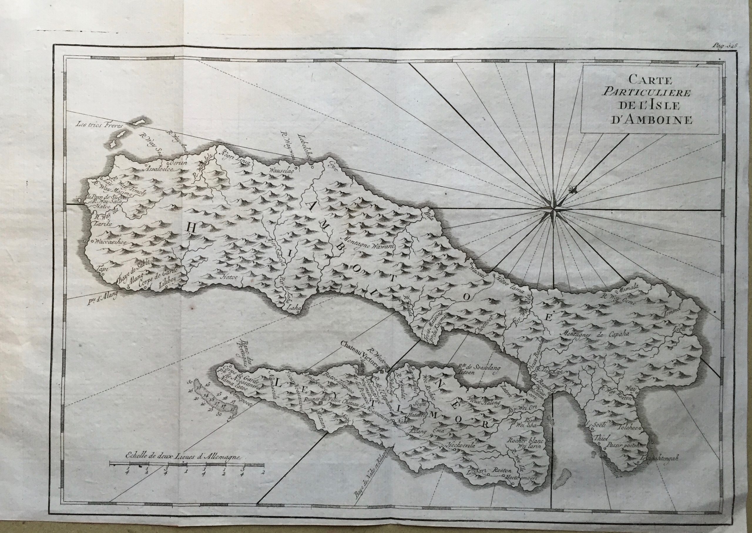
Map of Ambon Island – Bellin (c.1775)
An attractive original black and white map of the island of Ambon in the Moluccas by Jacques-Nicolas Bellin (1703-1772), and engraved by Jacob van der Schley (1715-1779)
Titled ‘Carte Particuliere de L’Isle D’Amboine‘
An attractive original black and white map of the island of Ambon in the Moluccas by Jacques-Nicolas Bellin (1703-1772), and engraved by Jacob van der Schley (1715-1779). This map then published in A.F Prevost’s l’Histoire Generale des Voyages between 1747 and 1775.
Very good condition apart from some faint brown spots in the sea areas
Measures 253 x 337 mm
Purchase code M1725


