Jakarta Collection
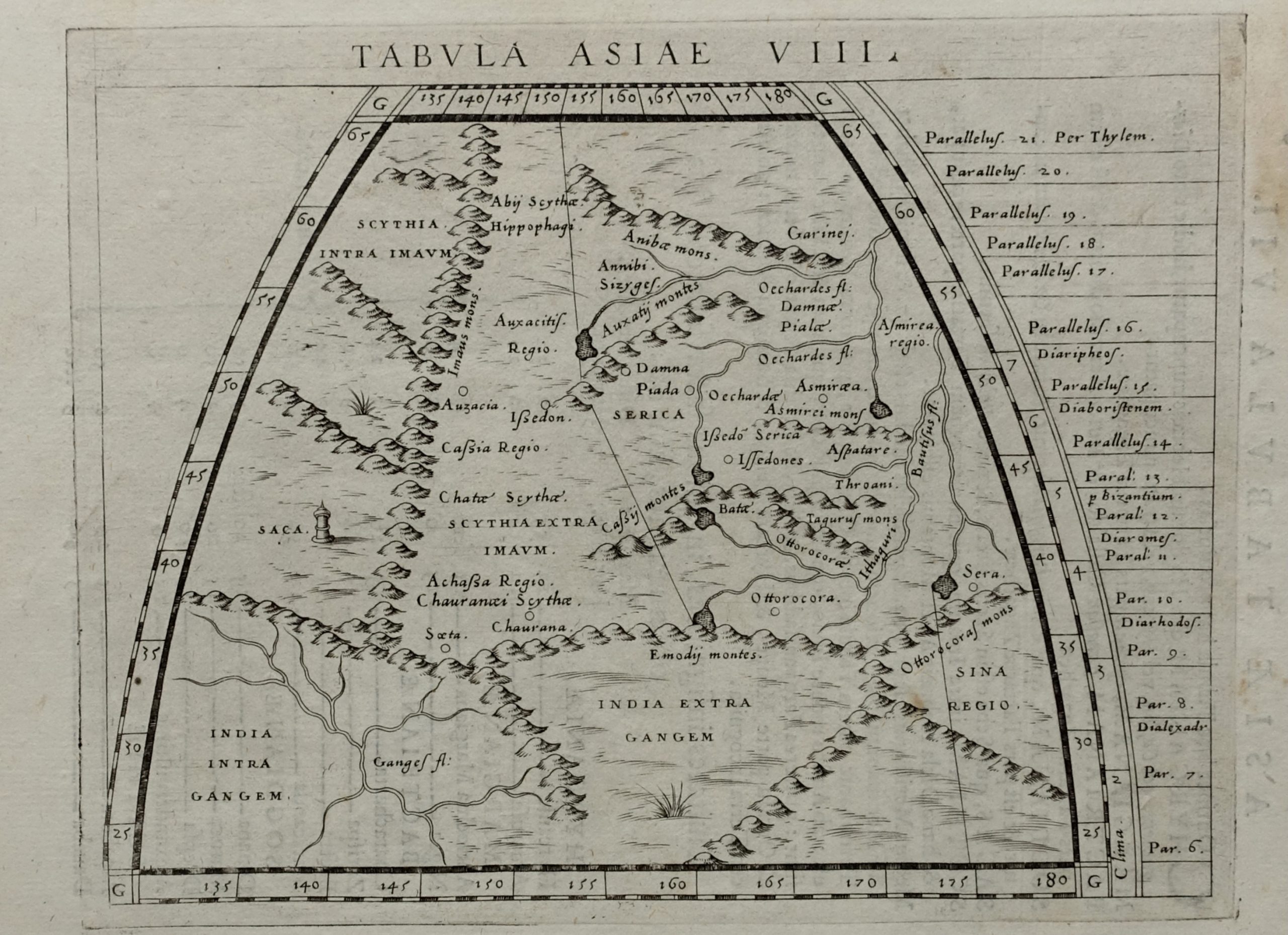
Map of India and Central Asia – Porro (c.1596)
A late 16th century Italian black and white map of India and Central Asia drawn by Girolamo Porro (1520-1604)
A late 16th century Italian black and white map of India and Central Asia drawn by Girolamo Porro (1520-1604), publisher, book illustrator and engraver from Padua and published in Giovani Antonio Magini’s (1555-1617) edition of Ptolemy’s Geographia in Venice between 1596 and 1621.
Very good condition apart from some age-toning of the paper
Measures 138 x 178 mm
Purchase code M1751