Jakarta Collection
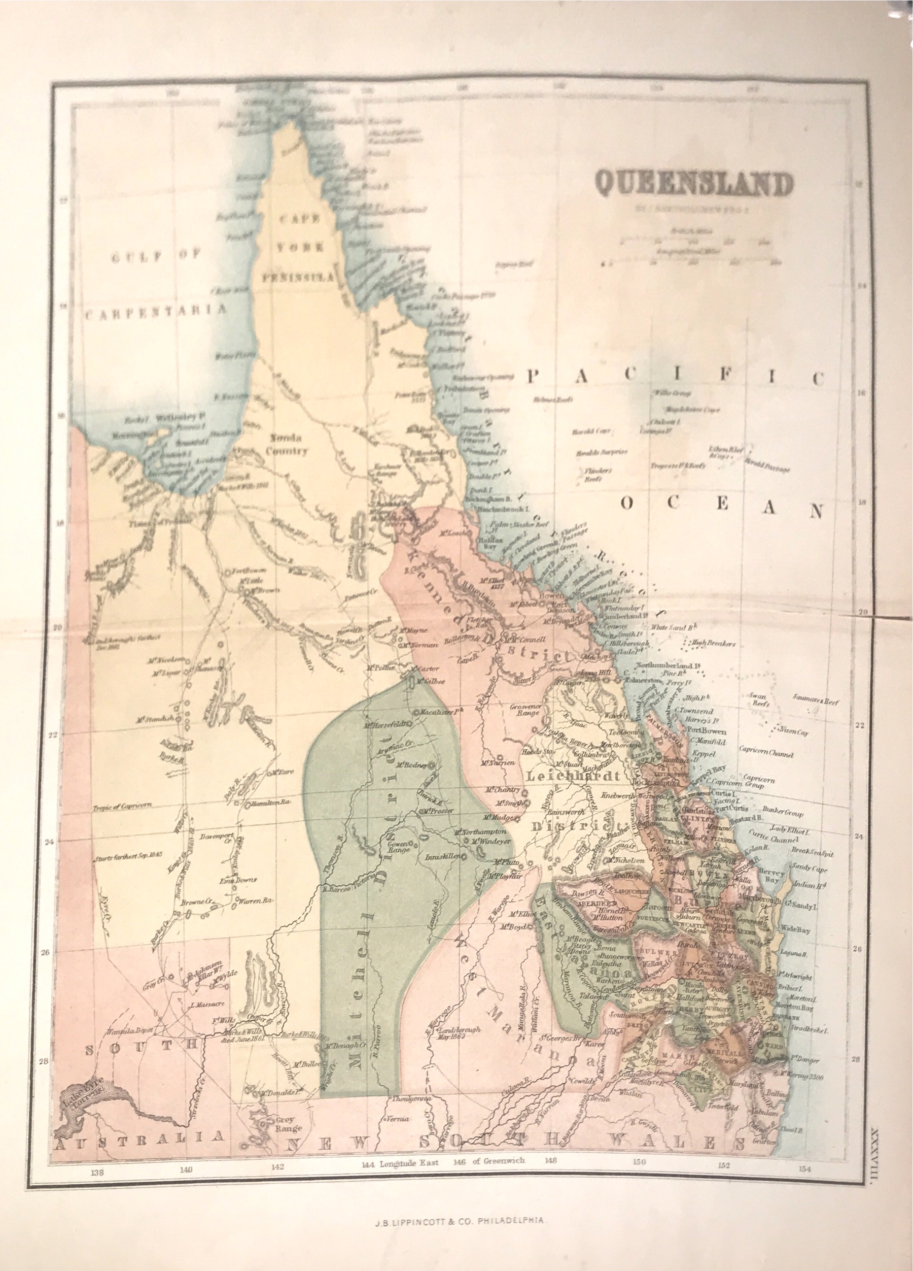
Map of Queensland – Bartholomew (c.1886)
A detailed hand-coloured map of Queensland, Australia by John Bartholomew and the Edinburgh Geographical Institute. Includes an inset for the vicinity of Brisbane.
A detailed hand-coloured map of Queensland, Australia by John Bartholomew and the Edinburgh Geographical Institute. Includes an inset for the vicinity of Brisbane.
Made by Scottish cartographer, John Bartholomew F.R.G.S and published by J.B Lippincott & Co., Philadelphia, USA, 1886.
Condition: Tear on the side but not affecting the image of the map.
Measures: 9,8 x 12,5 inch
Purchase code: BGJC-0151
4.000.000 IDR
275,00 USD