Jakarta Collection
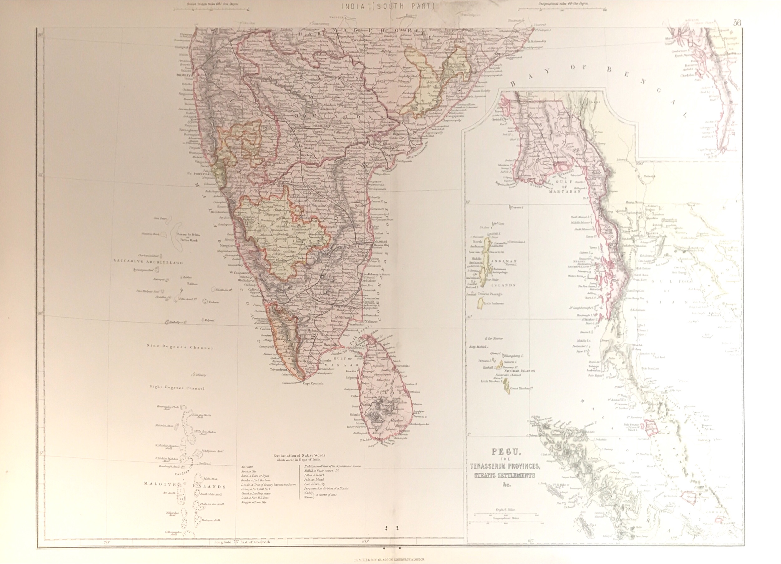
Map of Southern India and Pegu – J & C. Walker (c.1883)
An attractive detailed map of the southern part of India with Sri Lanka dated between 1882 and 1883 by J & C.Walker and published by Blackie & Son.
An attractive detailed map of the southern part of India with Sri Lanka. A translation of native words commonly used in Indian maps is also provided near bottom margin. A large detailed inset showing Pegu, modern day Bago in Burma, part of Thailand, the Malay Peninsula and part of Sumatra is included on the right. Published by The Imperial Atlas of Modern Geography by Blackie & Son.
- Date: between 1882 and 1883
- Measurements : 560 x 385 mm
- Condition: Excellent; general age related toning; some light staining from handling.
- Purchase code: BGJC-00102


