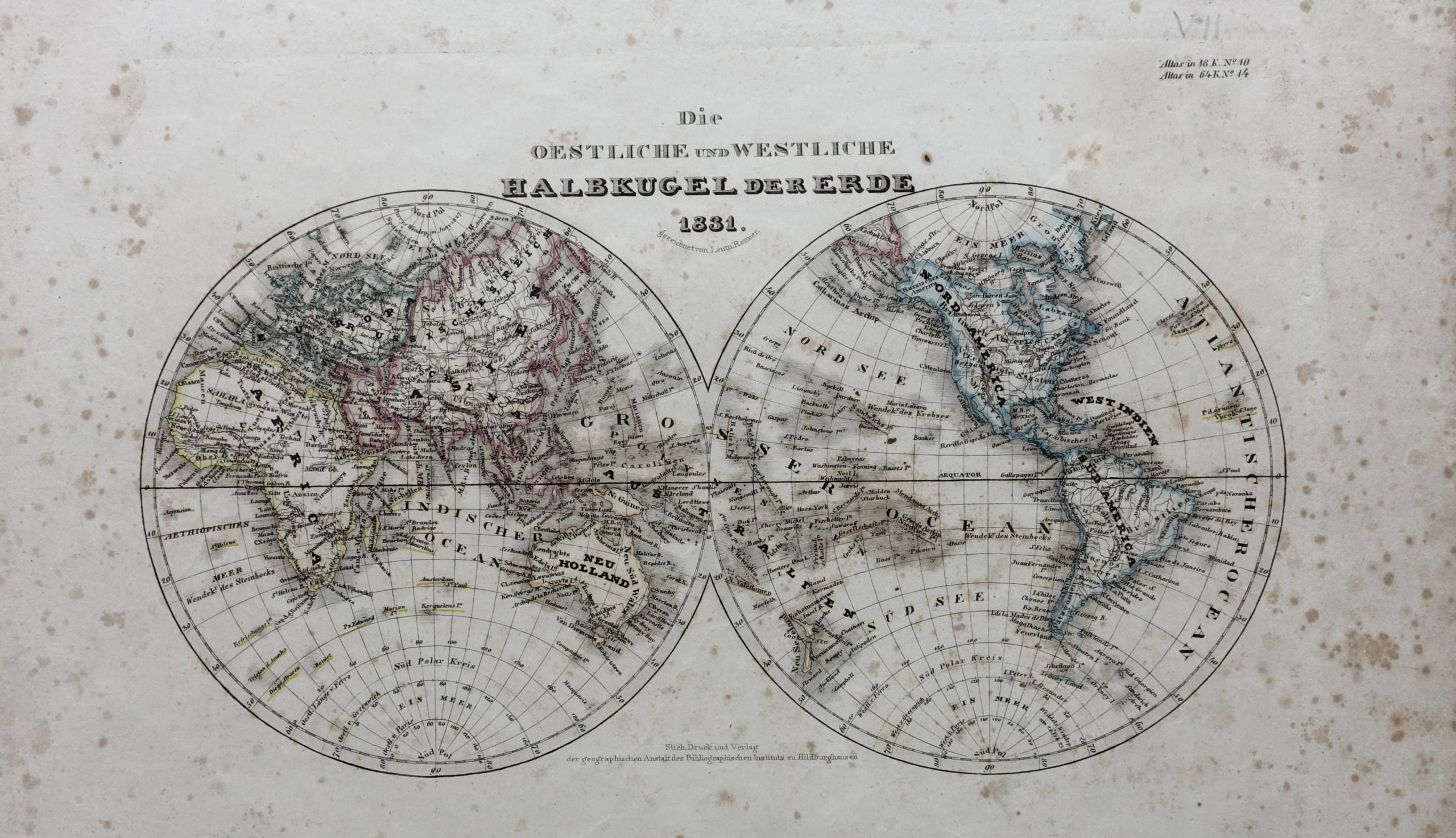
Map of The World – Meyer (c.1831)
A mid-19th century original outline colour German map of the world in twin hemispheres by Jospeh Meyer (1796-1856)
Titled ‘Die/Oestliche und Westliche/Halbkigel der Erde/1831’
A mid-19th century original outline colour German map of the world in twin hemispheres by Jospeh Meyer (1796-1856), publisher and founder of his own company The Bibliographisches Institut in Gotha in 1826, which moved to Hilburghausen in 1828. Meyer concentrated on what he called ‘growing atlases’, a frequently updated body of work which appeared under different titles. Published by Druck und Verlag Bibiliographisches Institut for Meyer’s Universal Atlas (1830-1840).
Good condition with lots of foxing mostly in the margins and bent corners; with strong plate marks
Measurements 268 x 327 mm
Purchase code M1664


