Jakarta Collection
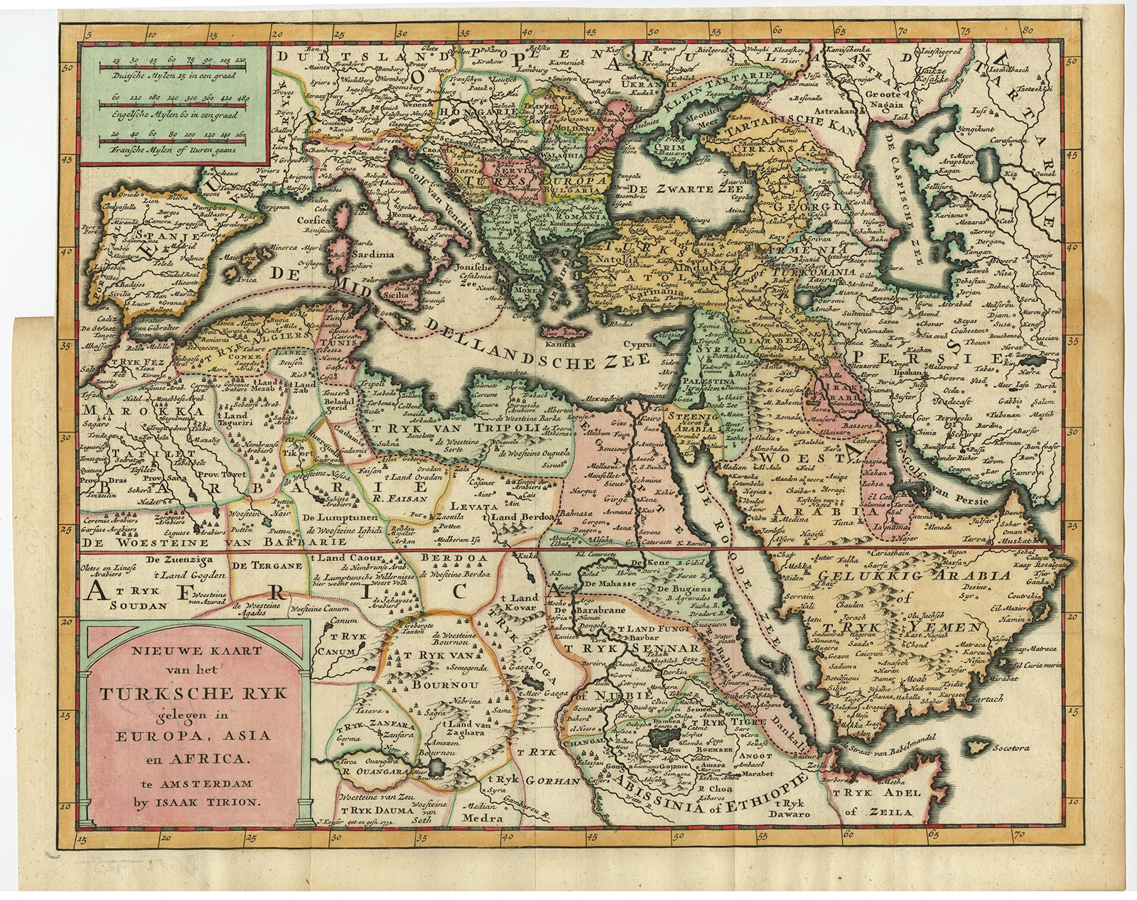
Nieuwe Kaart van het Turksche Ryk (..) – Tirion (1733) – SOLD
Description: Antique map, titled: ‘Nieuwe Kaart van het Turksche Ryk gelegen in Europa, Asia en Africa.’ – Decorative map map of the Turkish Empire, situated in Europe, Asia and Africa.
Source unknown, to be determined.
Artists and Engravers: Made by ‘Isaak Tirion’ after an anonymous artist. Isaak Tirion, a Dutch publisher in Amsterdam, was born 1705. He produced serveral Atlases and Dutch town plans. The maps mainly based on those of Guillaume de l’Isle. He died in 1765.
- Date: 1733
- Technic: Copperplate engraving / etching with hand colouring on hand laid (verge) paper.
- Overall size: 15 x 12 inch
- Image size: 13,9 x 11,2 inch
- Condition: Good, given age. Partly short-cut left margin ( originally cut by the binder). Original folds as issued. General age-related toning and/or occasional minor defects from handling. Please study scan carefully.
- PartNumber: PCT-61582
- Storage Location: BG-B16-39 ISCRA


