Jakarta Collection
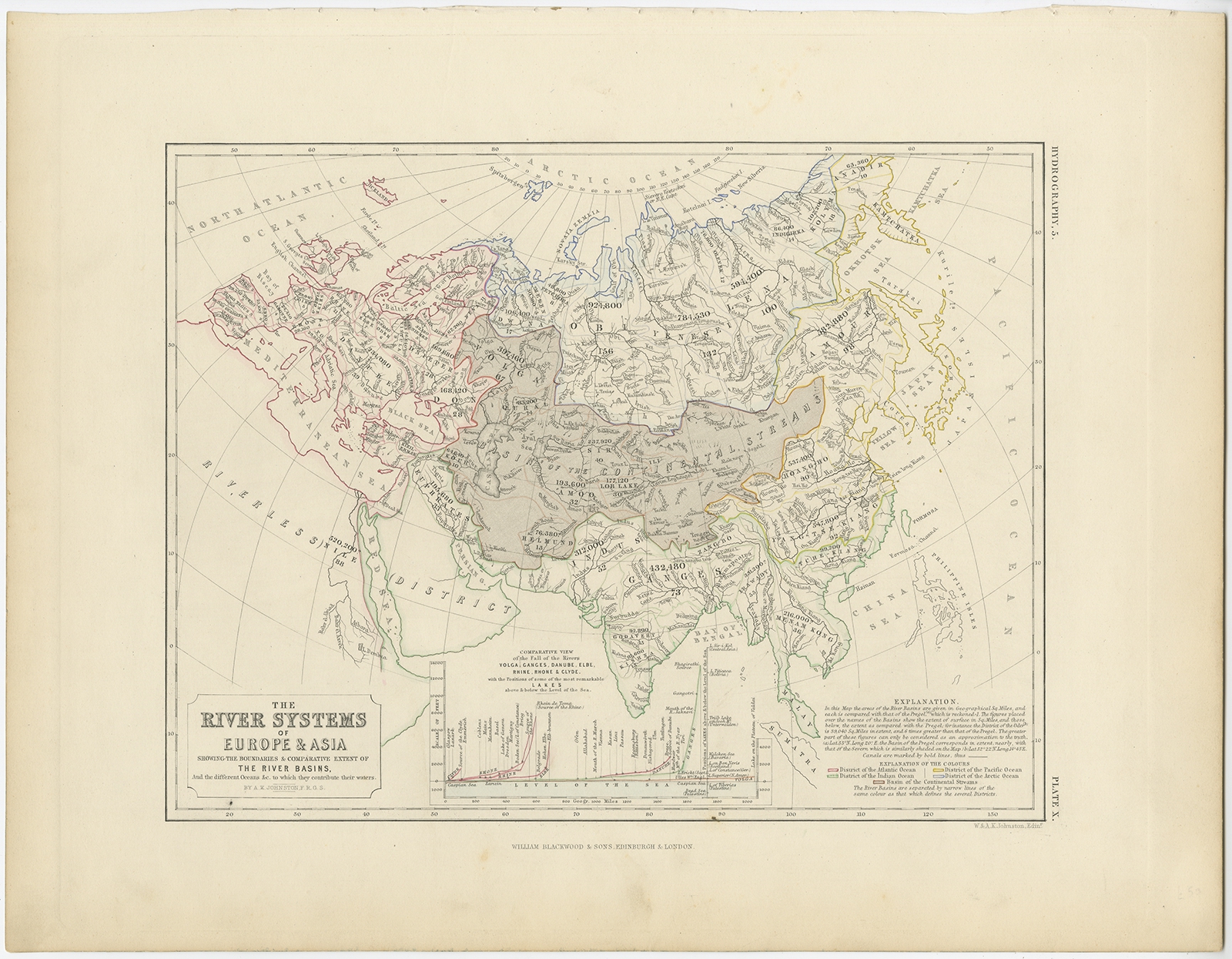
The River Systems of Europe & Asia – Johnston (c.1850)
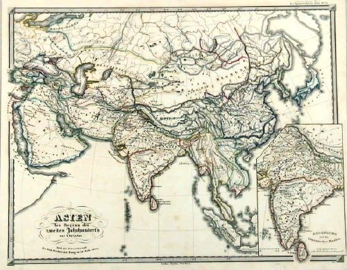
Description: Antique map titled ‘The River Systems of Europe & Asia’. Old map depicting the river systems of Europe and Asia showing the boundaries & comparative extent of the river basins, and the different oceans. Originates from ‘The Physical Atlas of Natural Phenomena’.
Artists and Engravers: Published by William Blackwood & Sons.
- Date: c.1850
- Overall size: 36 x 28 cm.
- Image size: 26 x 20 cm.
- Condition: Very good, general age-related toning. Please study image carefully.