Jakarta Collection
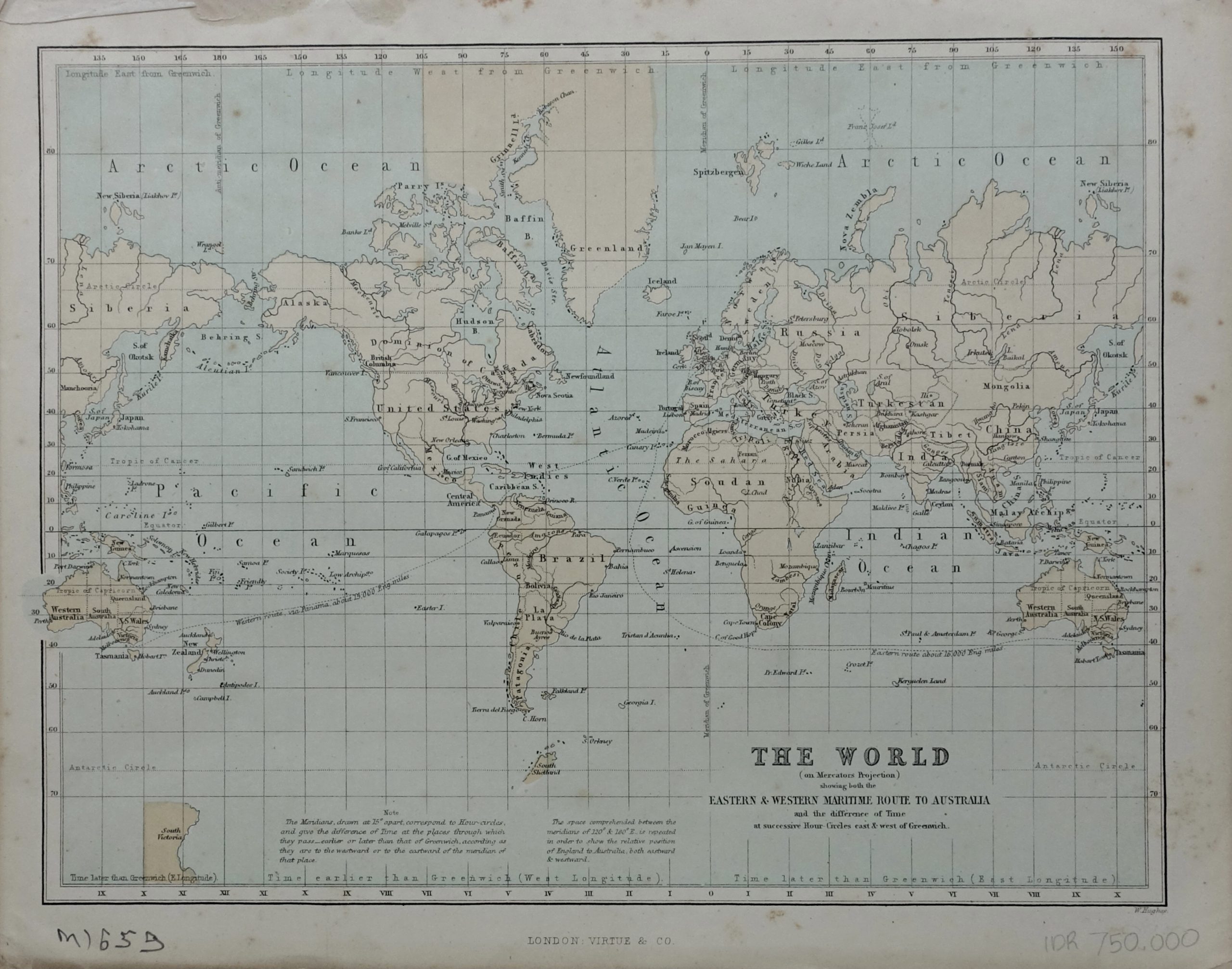
World Map on Mercators Projection – W.Hughes (1880-1900)
A 20th century original colour English World map with the maritime line route to Australia, engraved by W.Hughas and published in London by Virtue and Company.
Full title ” THE WORLD on Mercators Projection, showing both the EASTERN & WESTERN MARITIME ROUTE TO AUSTRALIA and the difference of Time at successive Hour Circles east & west of Greenwich ”
An early 20th century original colour English World map with the maritime line route to Australia, engraved by W.Hughas and published in London by Virtue and Company.
- Date : 1880-1900
- Techniques : Copper-engraved
- Measurements : 200 x 272 mm
- Condition: Good; only browning folds and foxing in the margins
- Purchase code: M1659