Jakarta Collection
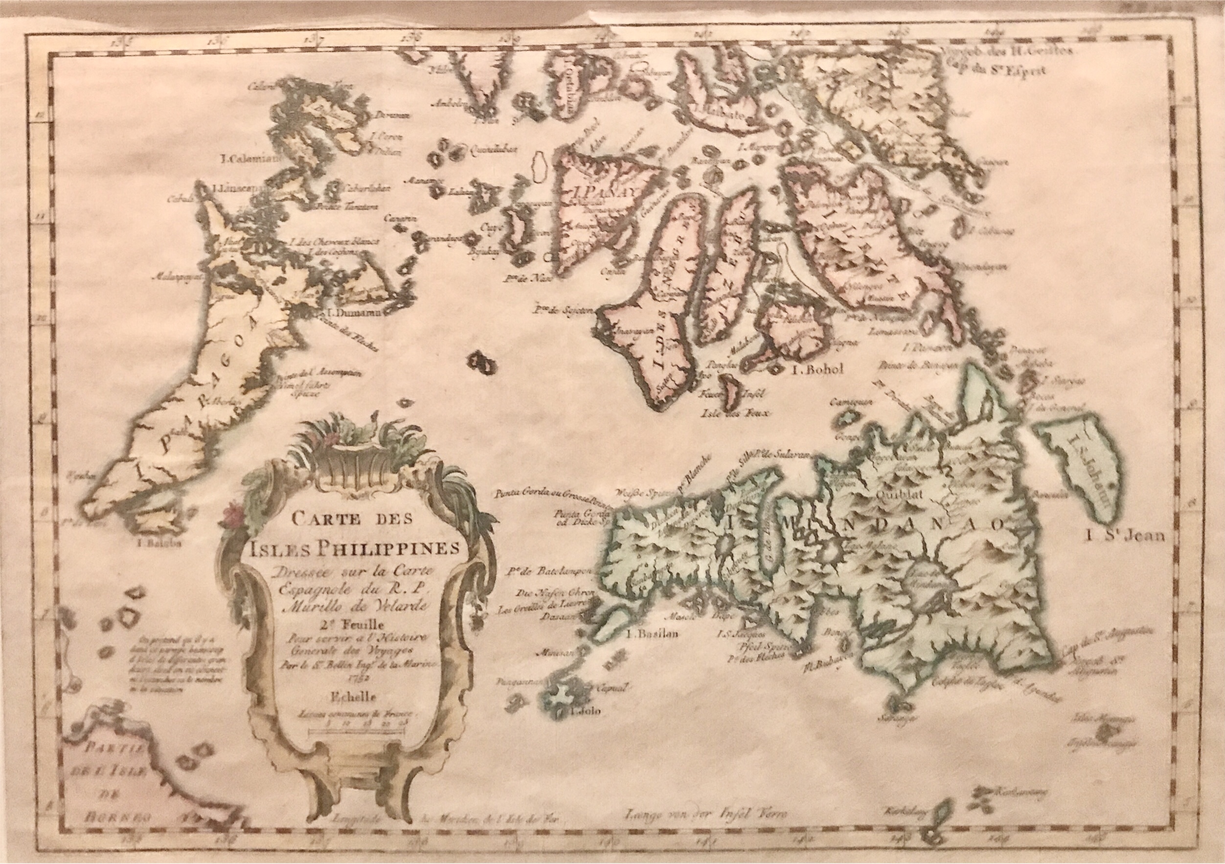
Map of the Southern Philippines – Bellin (1763)
An attractive and relatively rare coloured map of the southern Philippines drawn by J.N Bellin senior (1703-1772) .
titled ‘Carte des Isles Philippines dressee sur la carte Espagnole du R P Murillo de Velarde 2e feuille Par le Sr Bellin…”
An attractive and relatively rare coloured map of the southern Philippines drawn by J.N Bellin senior (1703-1772) and published in A.F Prevost’s Histoire/generales des Voyages in Paris between 1747 and 1775. The second map in the set covers the northern Philippines.
Year : 1763
Very good condition
Overall size (with passepartout) : 460 x 360 mm
Image size : 300 x 208 mm
Purchase code : M0057