Skip to content
Maps of Asia
Dutch East Indies
Jakarta Collection
Visit Us
Contact
Shop Online Worldwide
Shop Online Worldwide
Maps of Asia
Dutch East Indies
Jakarta Collection
Visit Us
Contact
Home
/
Products tagged “Antique Maps”
/ Page 40
Antique Maps
Showing 469–480 of 830 results
Default sorting
Sort by popularity
Sort by latest
Sort by price: low to high
Sort by price: high to low
Jakarta Collection
Larus, Mas – Sepp & Nozeman (1789)
Jakarta Collection
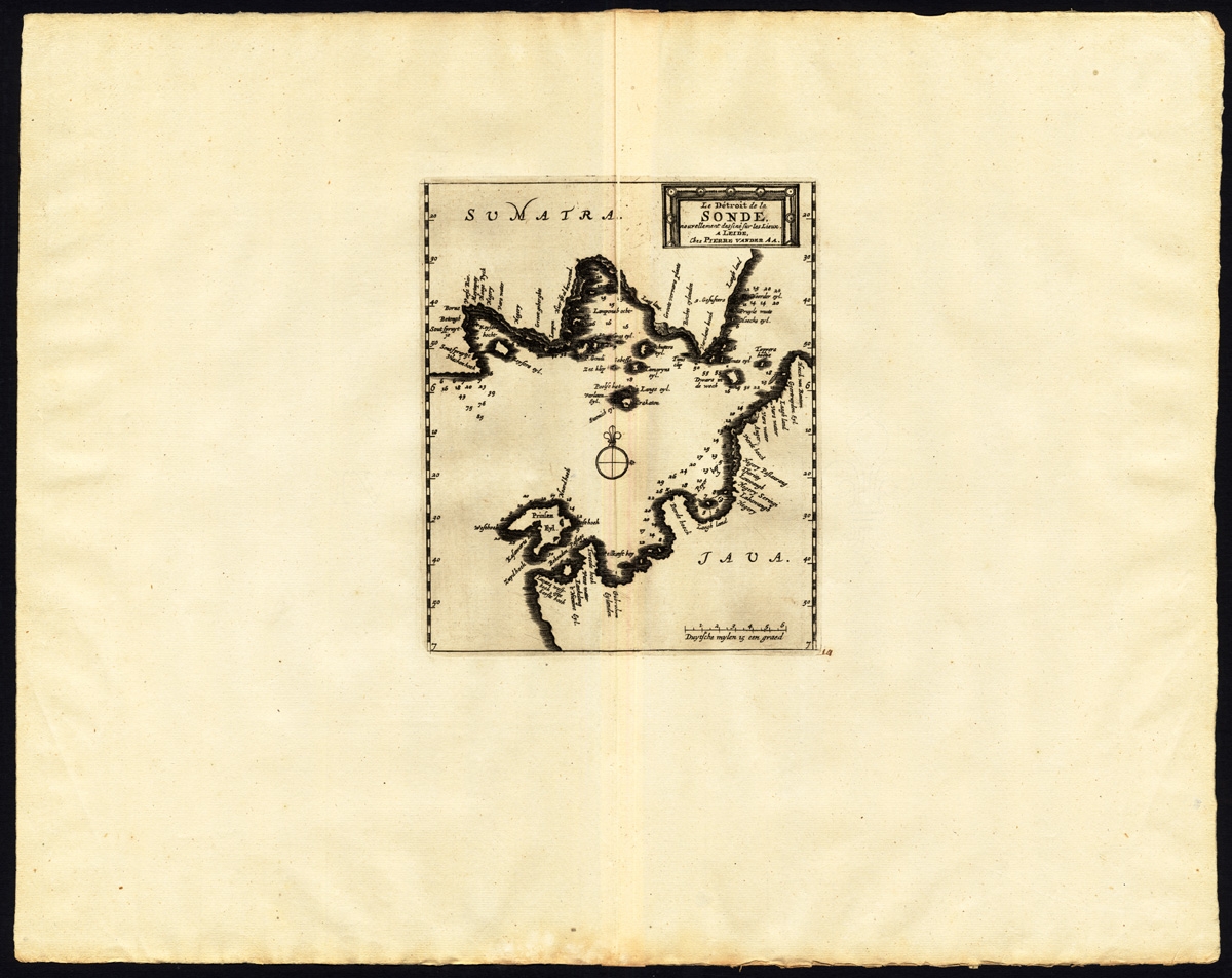
Le detroit de la Sonde – Van der Aa (1725)
Jakarta Collection
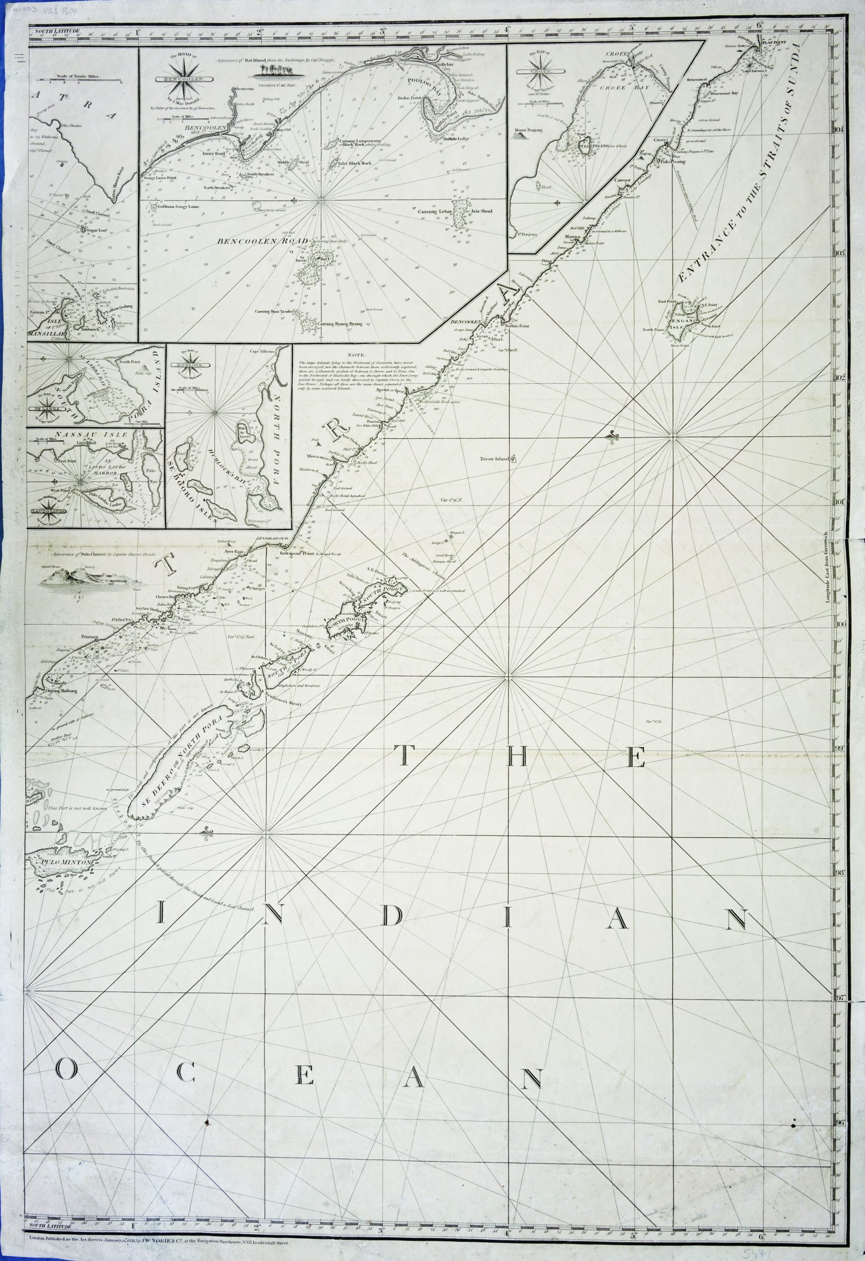
Left-sheet Chart of the Indian Ocean – Norie (c.1832)
Jakarta Collection
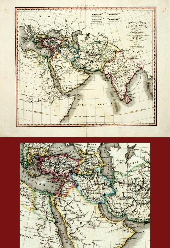
Les anciens Empires – Dufour (1830)
Jakarta Collection
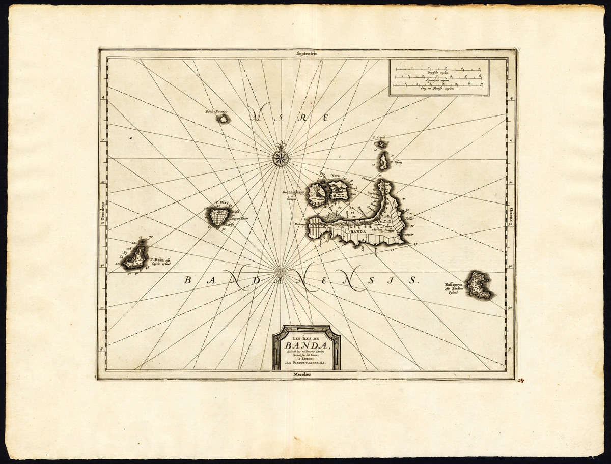
Les Iles de Banda (..) – Van der Aa (1725)
Jakarta Collection
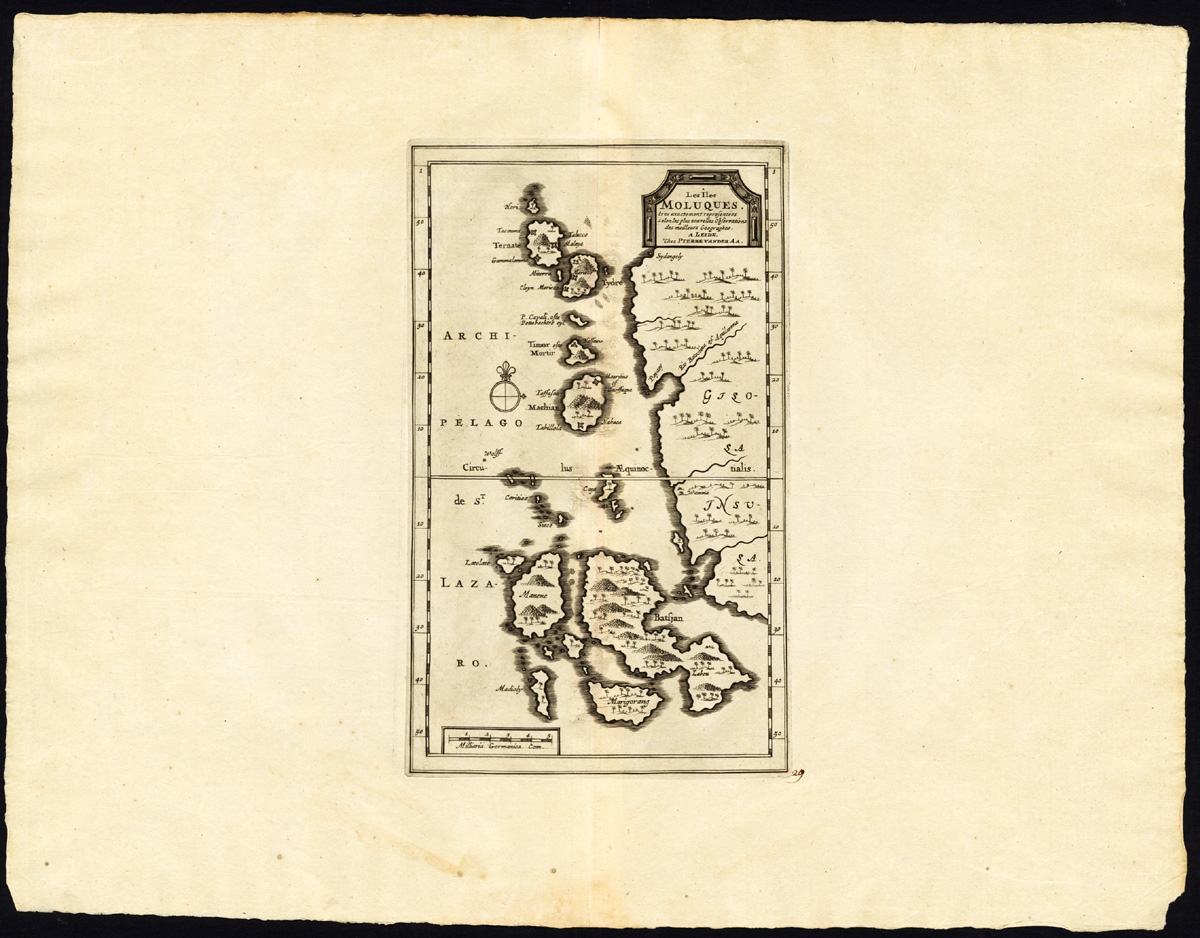
Les Iles Moluques (..) – Van der Aa (1725)
Jakarta Collection
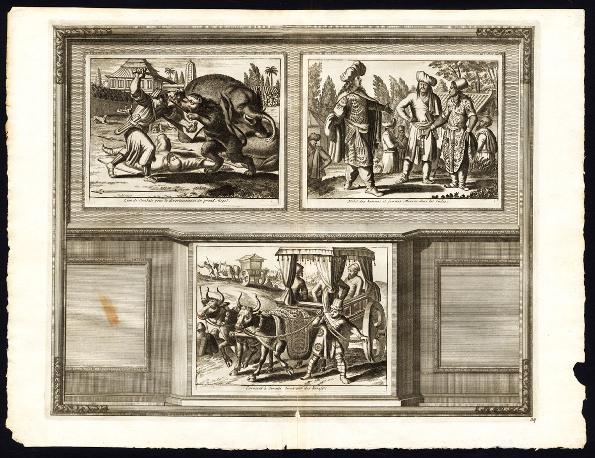
Lieu de combats pour le divertissement du Grand Mogol – Van der Aa (1725)
Jakarta Collection
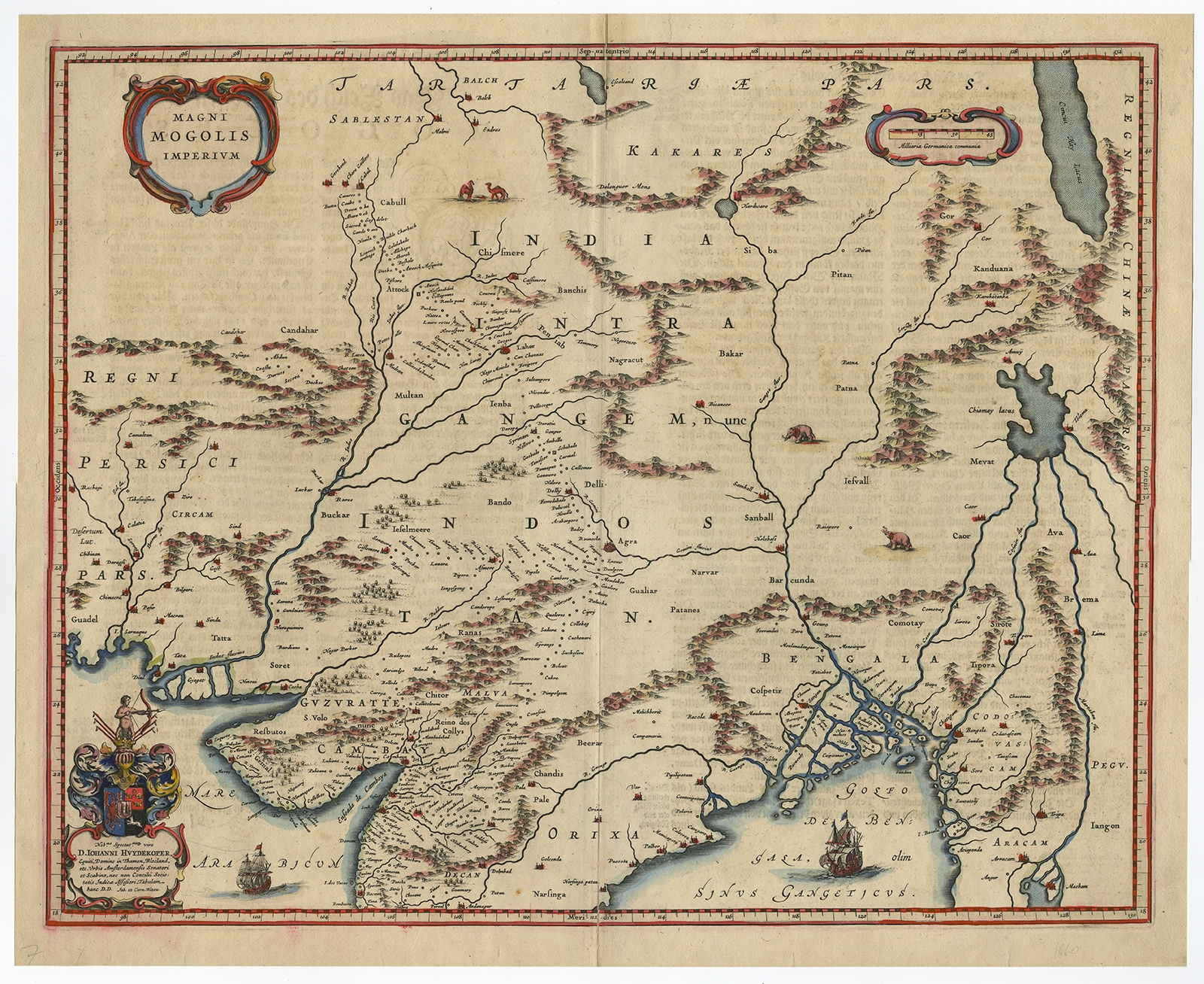
Magni Mogolis Imperium – Blaeu (c.1650)
Jakarta Collection
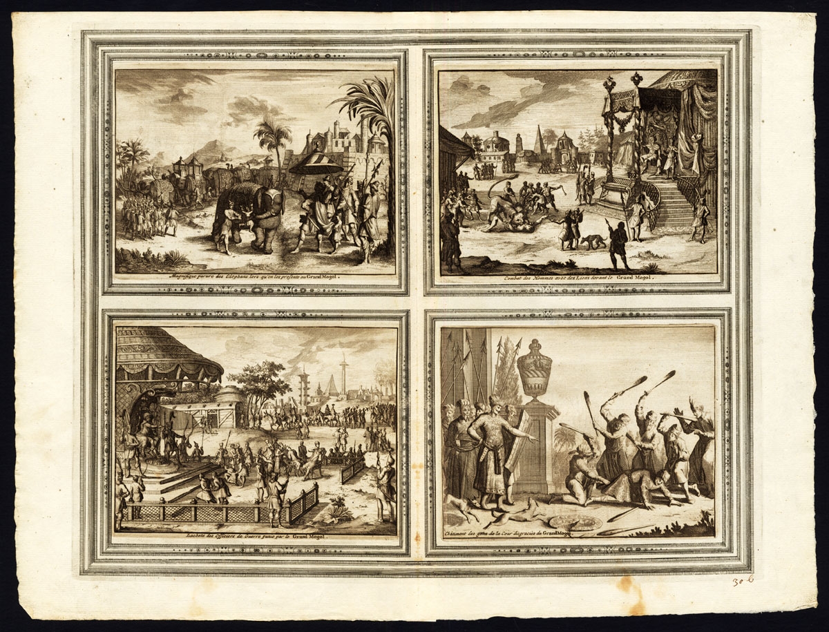
Magnifique parure des Elephans (..) – Van der Aa (1725)
Jakarta Collection
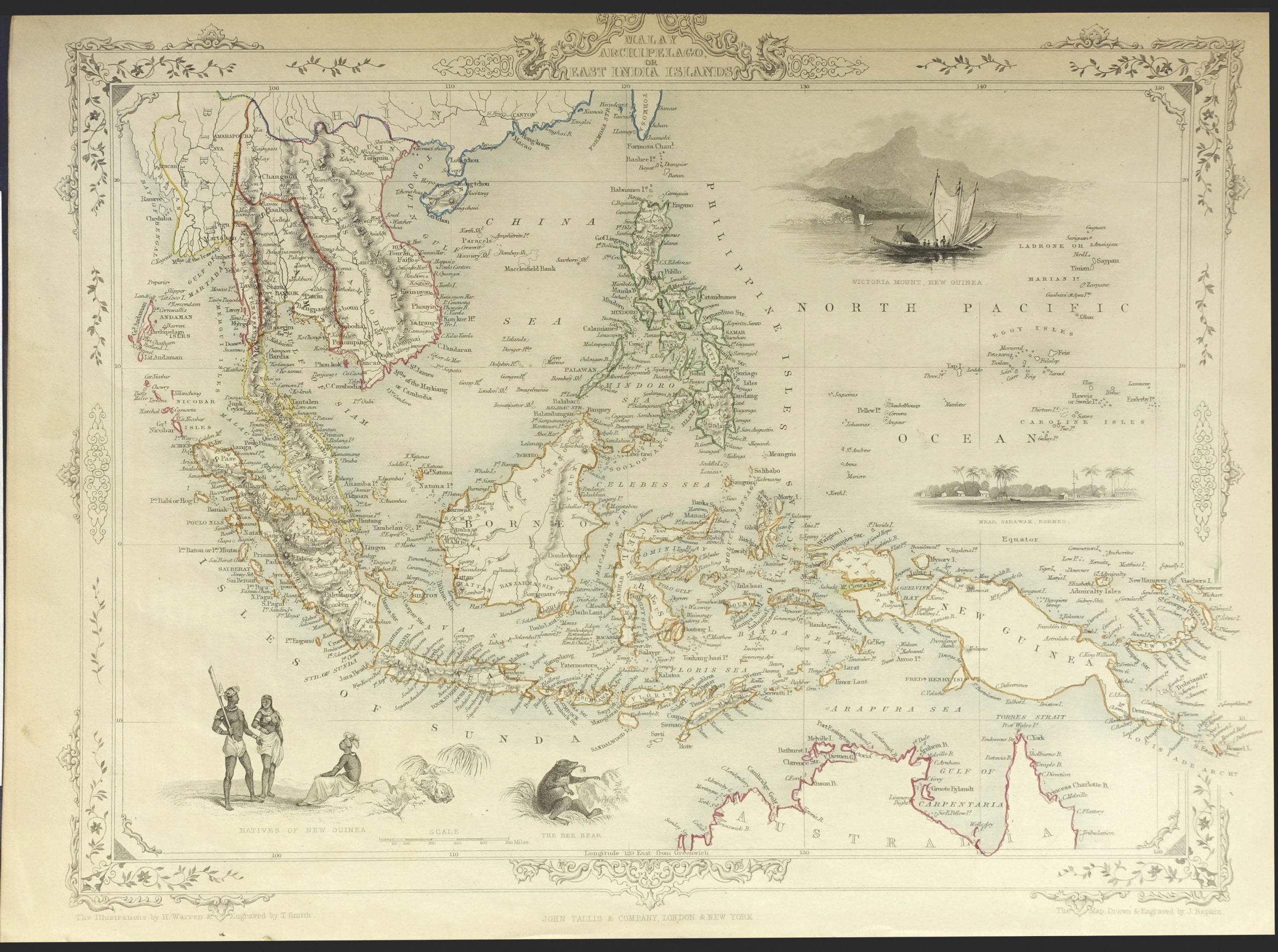
Malay Archipelago or East India Islands – Tallis (c.1849-1853)
Jakarta Collection
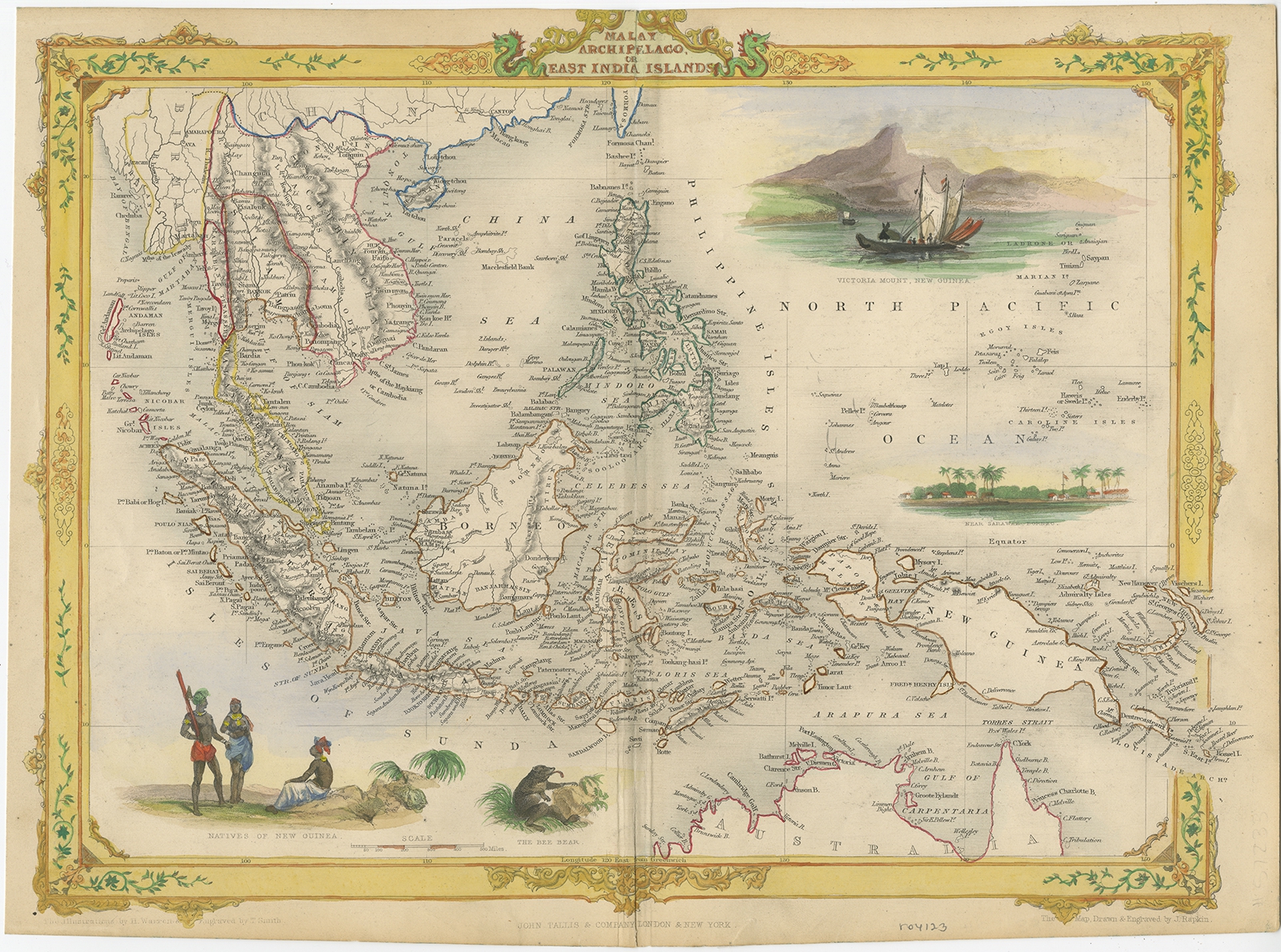
Malay Archipelago or East India Islands – Tallis (c.1851)
Jakarta Collection
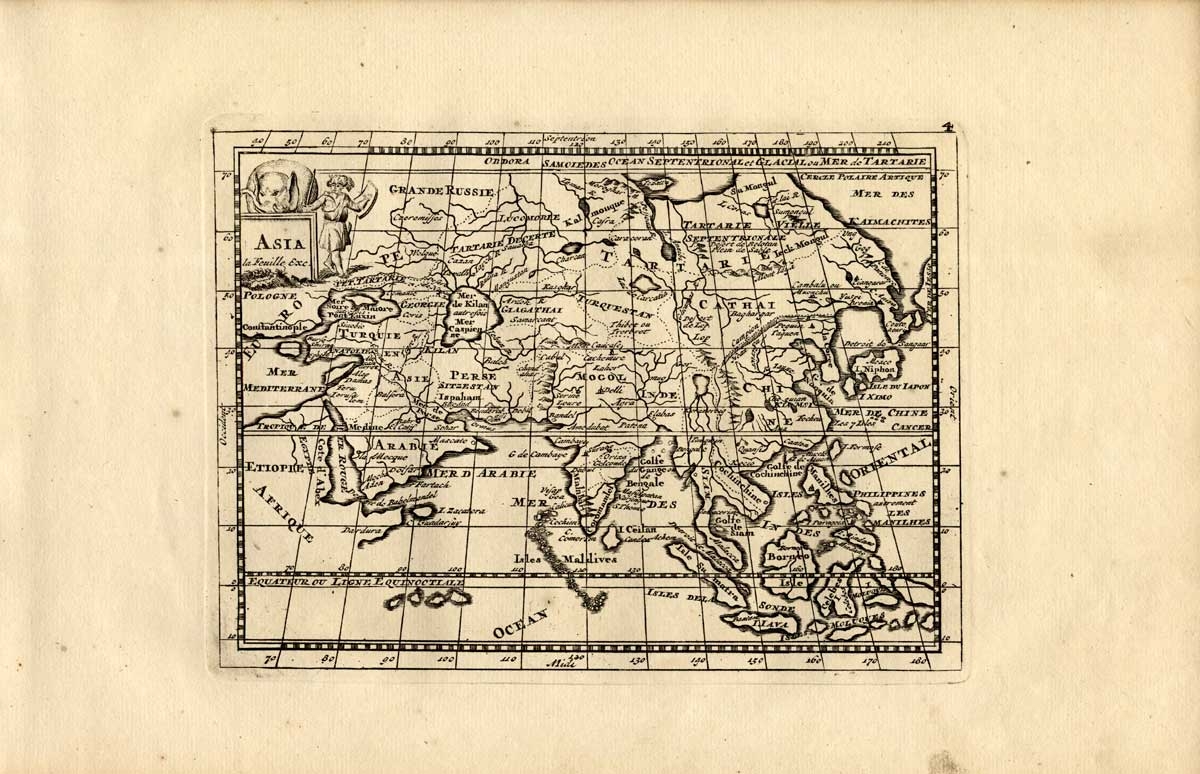
Map 4. Asia – De la Feuille (1753)
←
1
2
3
…
37
38
39
40
41
42
43
…
68
69
70
→
Visit Gallery
WhatsApp
Shop Online
Location
Scroll to Top