Skip to content
Maps of Asia
Dutch East Indies
Jakarta Collection
Visit Us
Contact
Shop Online Worldwide
Shop Online Worldwide
Maps of Asia
Dutch East Indies
Jakarta Collection
Visit Us
Contact
Home
/
Products tagged “Plans & Charts”
/ Page 40
Plans & Charts
Showing 469–480 of 764 results
Default sorting
Sort by popularity
Sort by latest
Sort by price: low to high
Sort by price: high to low
Jakarta Collection
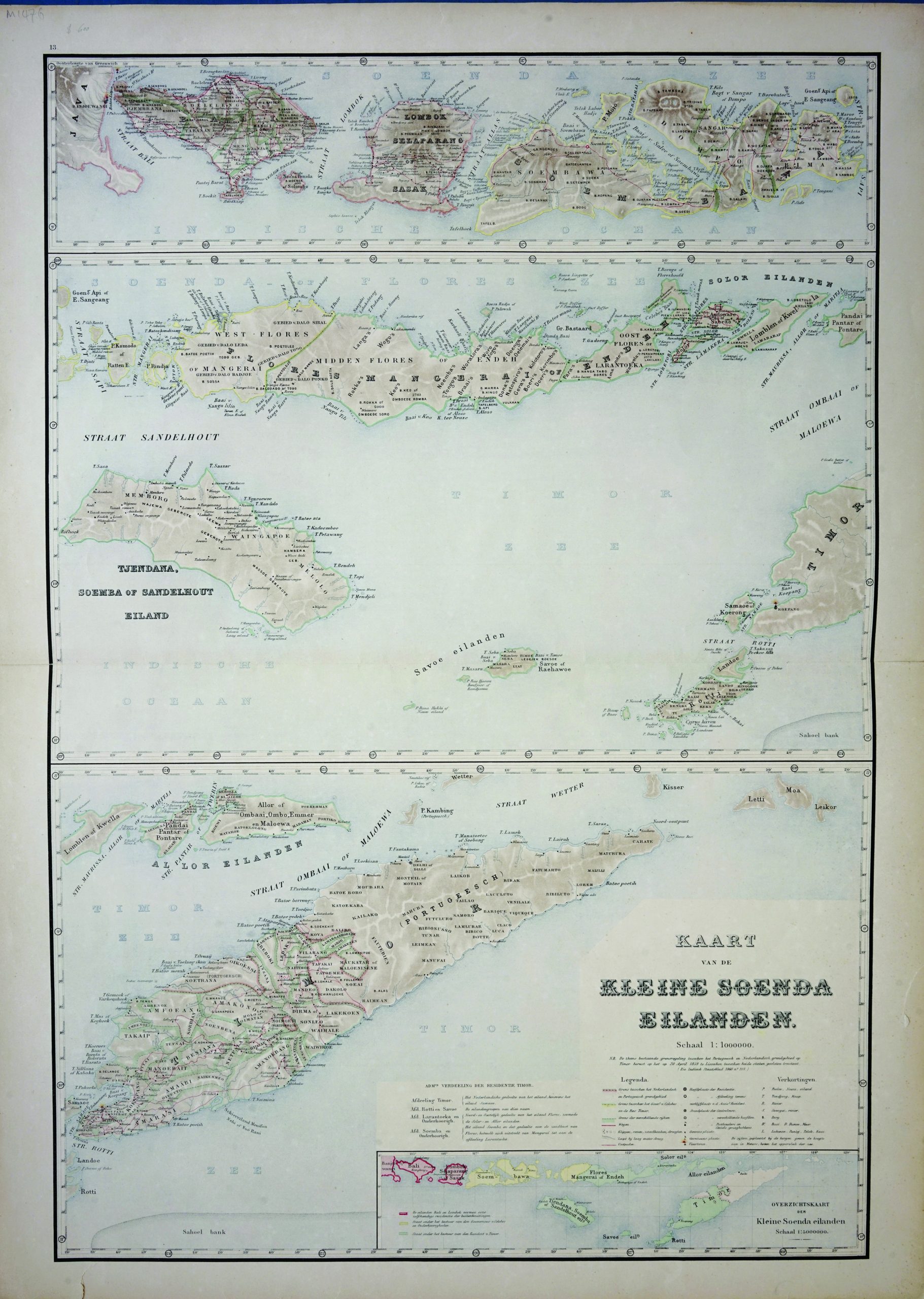
Map of Lesser Sunda Islands – Stemfoort & Siethoff (c.1883-1885)
Jakarta Collection
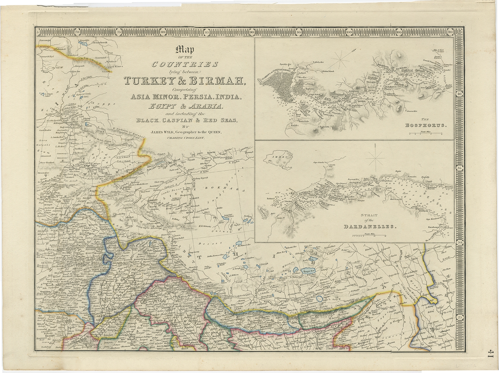
Map of the countries lying between Turkey & Birmah – Wyld (1839)
Jakarta Collection
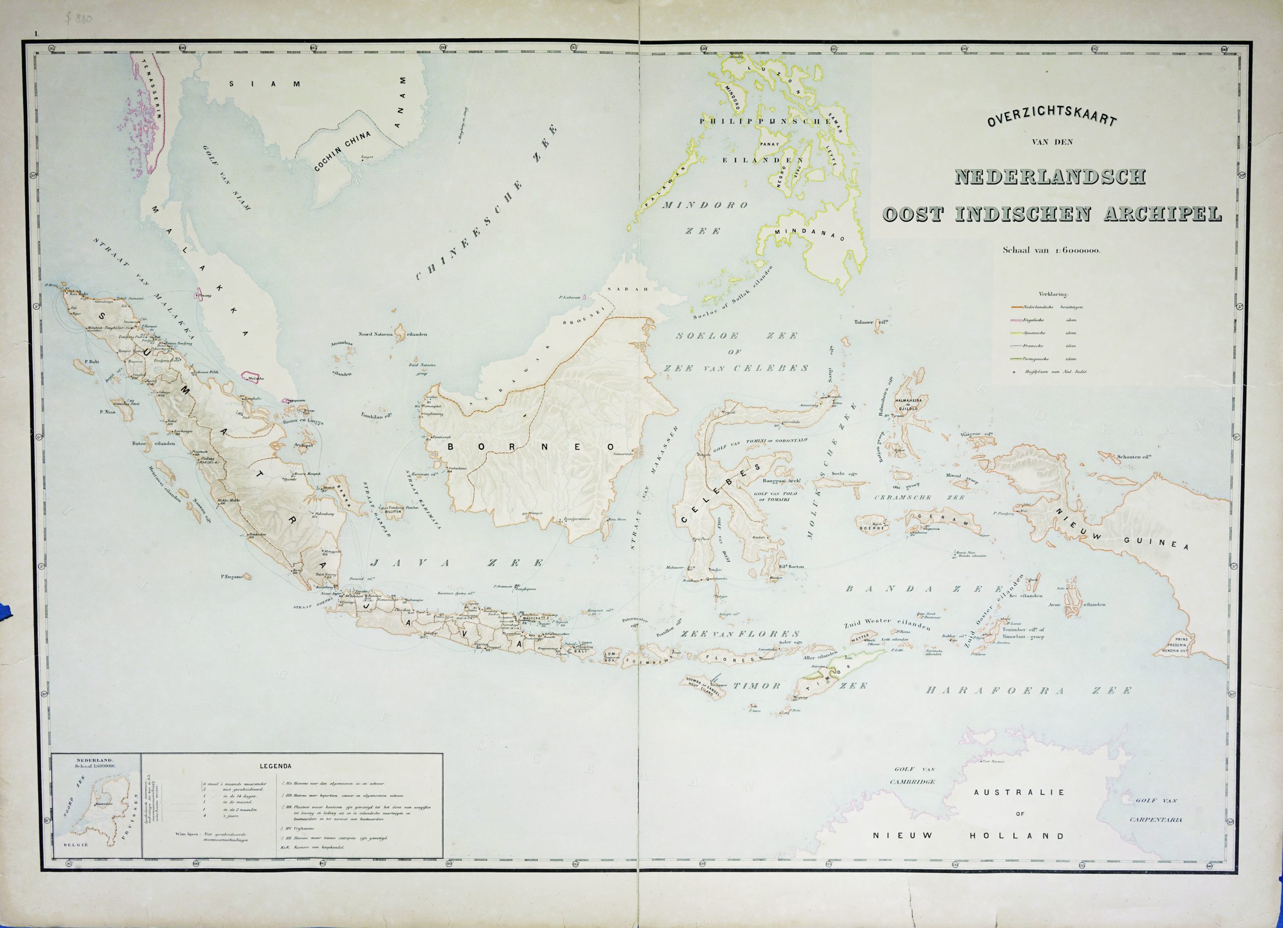
Map of the East Indies c.1895-1901
Jakarta Collection
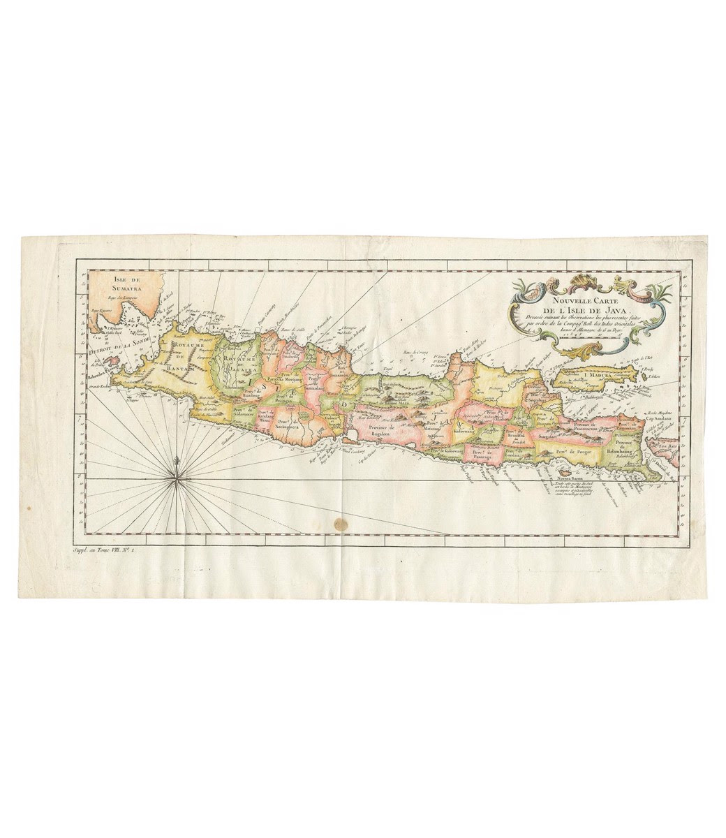
Map of the Island of Java and Madura – Bellin (c.1760)
Jakarta Collection
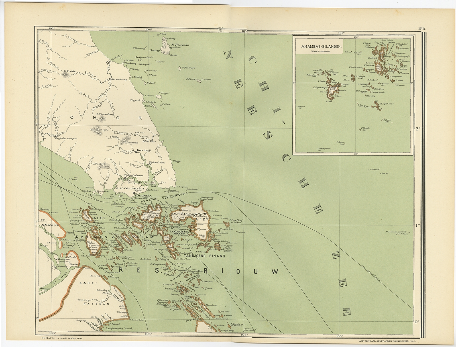
Map of the Riau Islands by Dornseiffen (1900)
Jakarta Collection
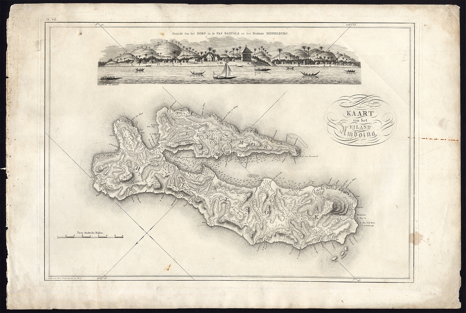
Map VII Kaart van het Eiland Amboine – Van den Bosch (1818)
Jakarta Collection
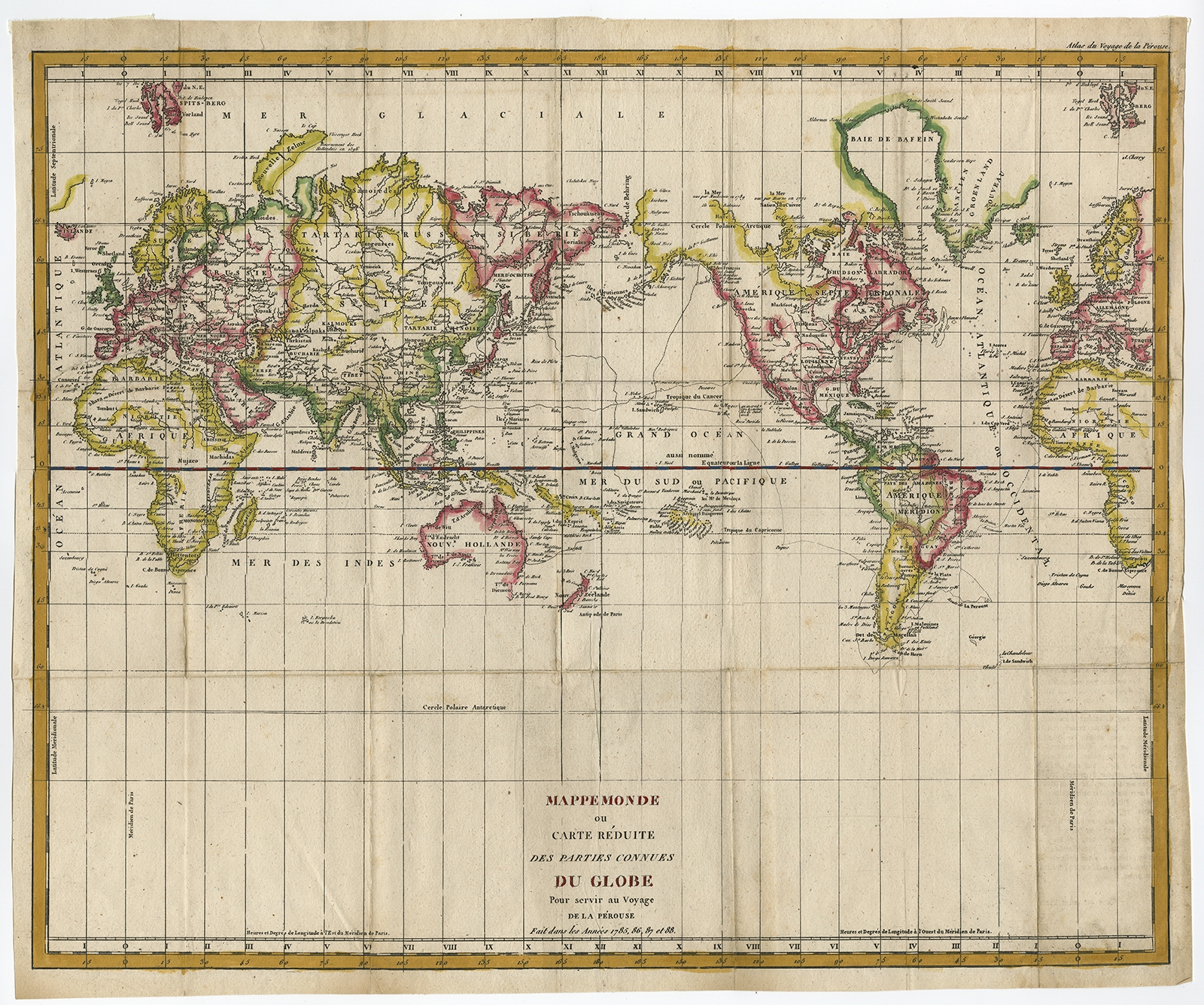
Mappemonde ou Carte Reduite Des Parties (..) – De la Perouse (c.1790)
Jakarta Collection
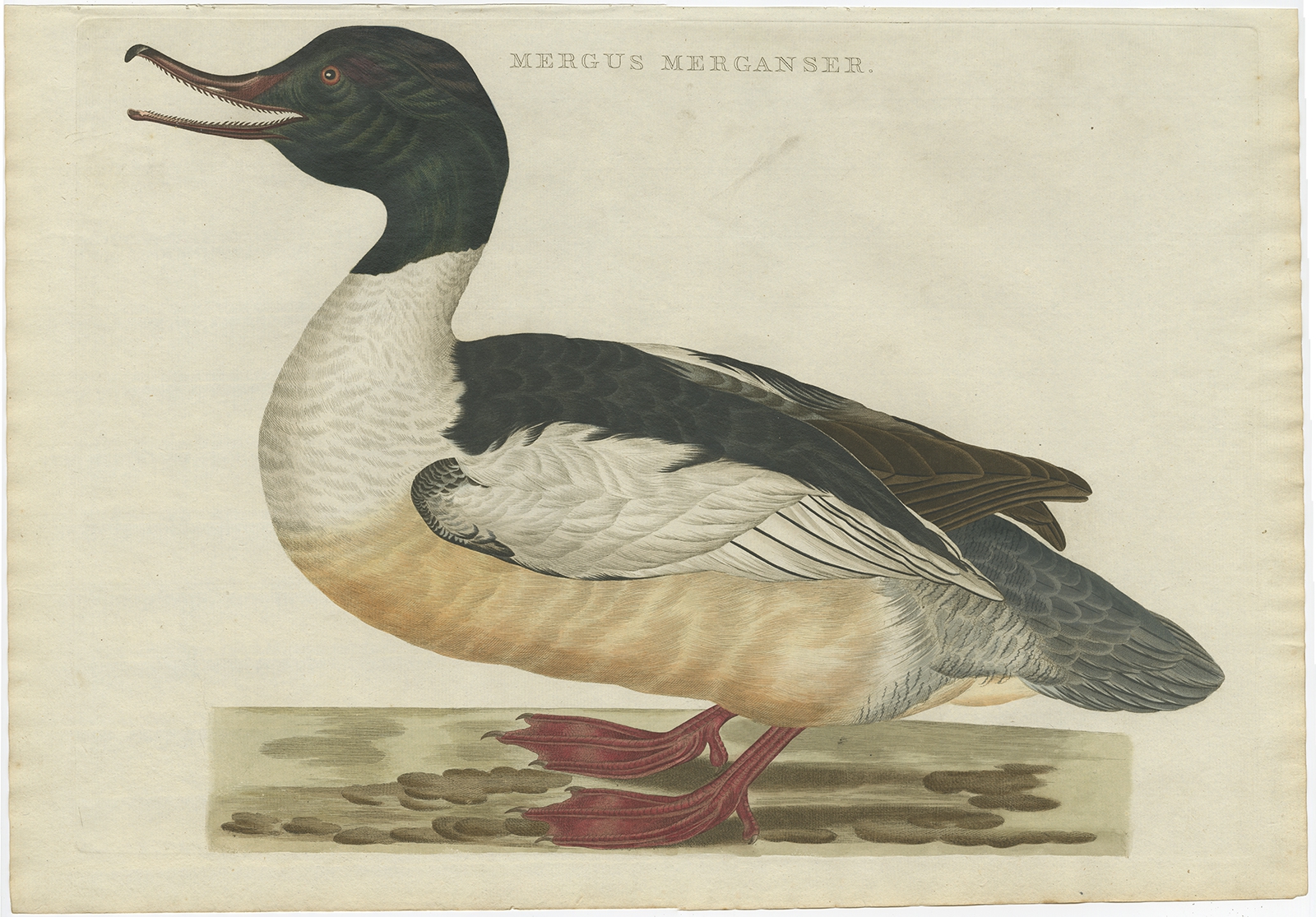
Mergus Merganser – Sepp & Nozeman (1809)
Jakarta Collection
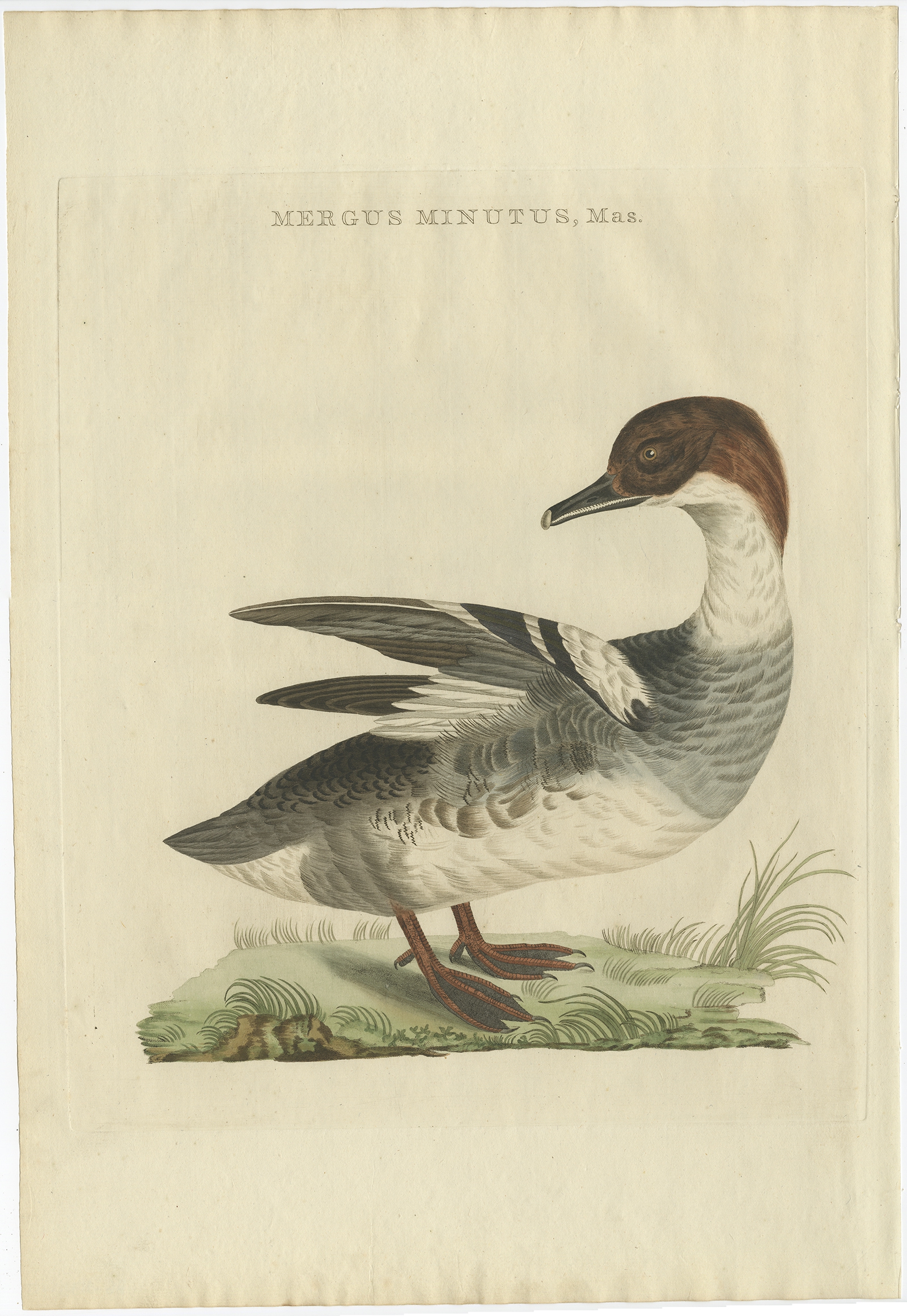
Mergus Minutus, Mas – Sepp & Nozeman (1809)
Jakarta Collection
Mortier-Batterij in de Loopgraven – Emrik & Binger (1874)
Jakarta Collection
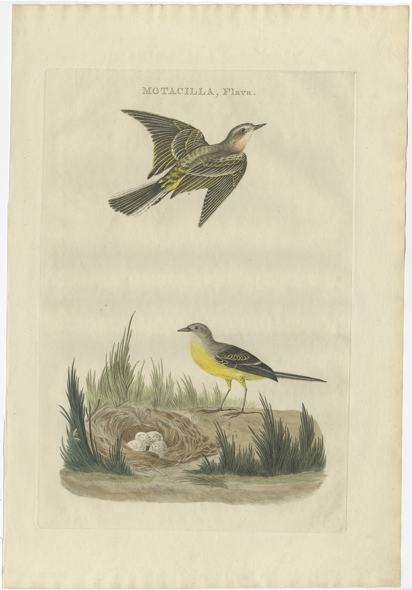
Motacilla, Flava – Sepp & Nozeman (1789)
←
1
2
3
…
37
38
39
40
41
42
43
…
62
63
64
→
Visit Gallery
WhatsApp
Shop Online
Location
Scroll to Top