Jakarta Collection
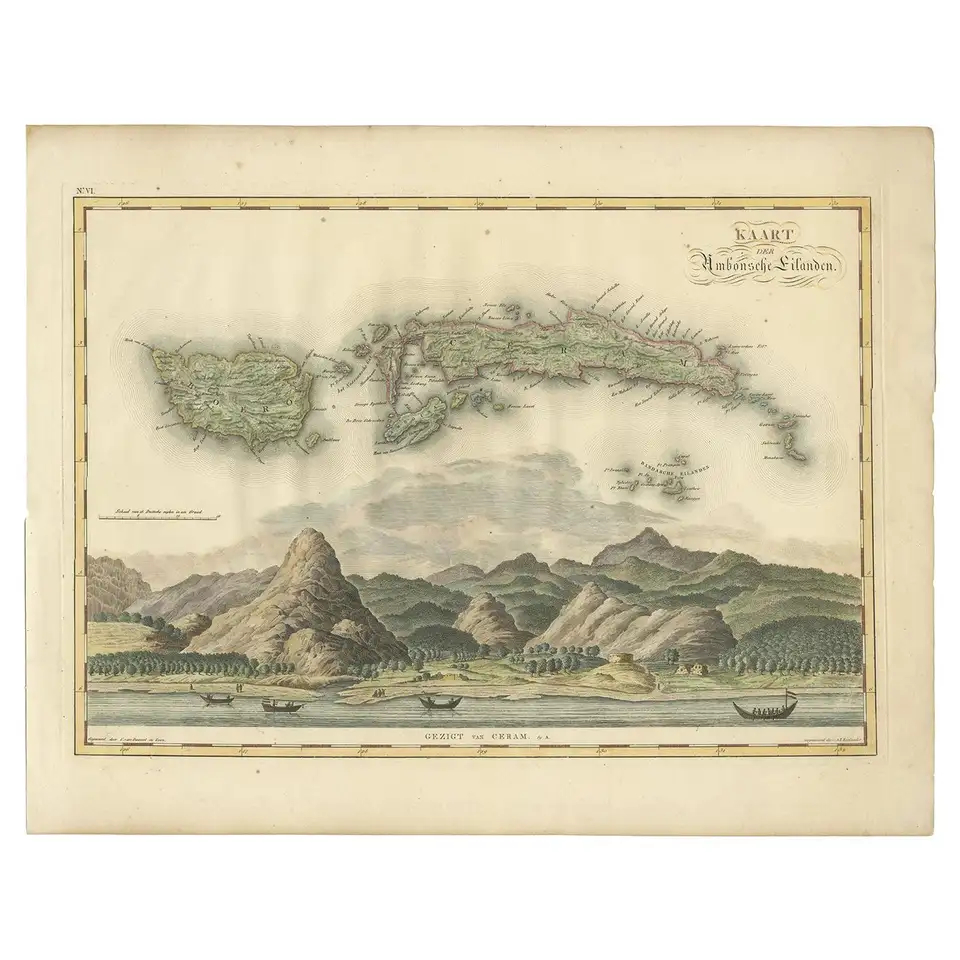
Antique Map of Seram, Boero and the Banda Islands by Van den Bosch ‘1818’
Antique map titled ‘Kaart der Ambonsche Eilanden’. Rare and attractive map of the islands of Seram, Boero and the Banda Islands. Includes a nice view of the Island of Seram. One of 12 maps from ‘Atlas van Overzeesche bezittingen’ (Atlas of Oversea Possessions) by J.S. van den Bosch. J.S. van den Bosch (1780-1844), major general, knight of the 3rd class of the Military William order.
Condition: General age-related toning. Some wear and marginal tears. Please study images carefully.
Dimensions: 58 x 46 cm.
Purchase code : BG-06141
1.300,00 Euro
1.500,00 USD
22.500.000 IDR