Jakarta Collection
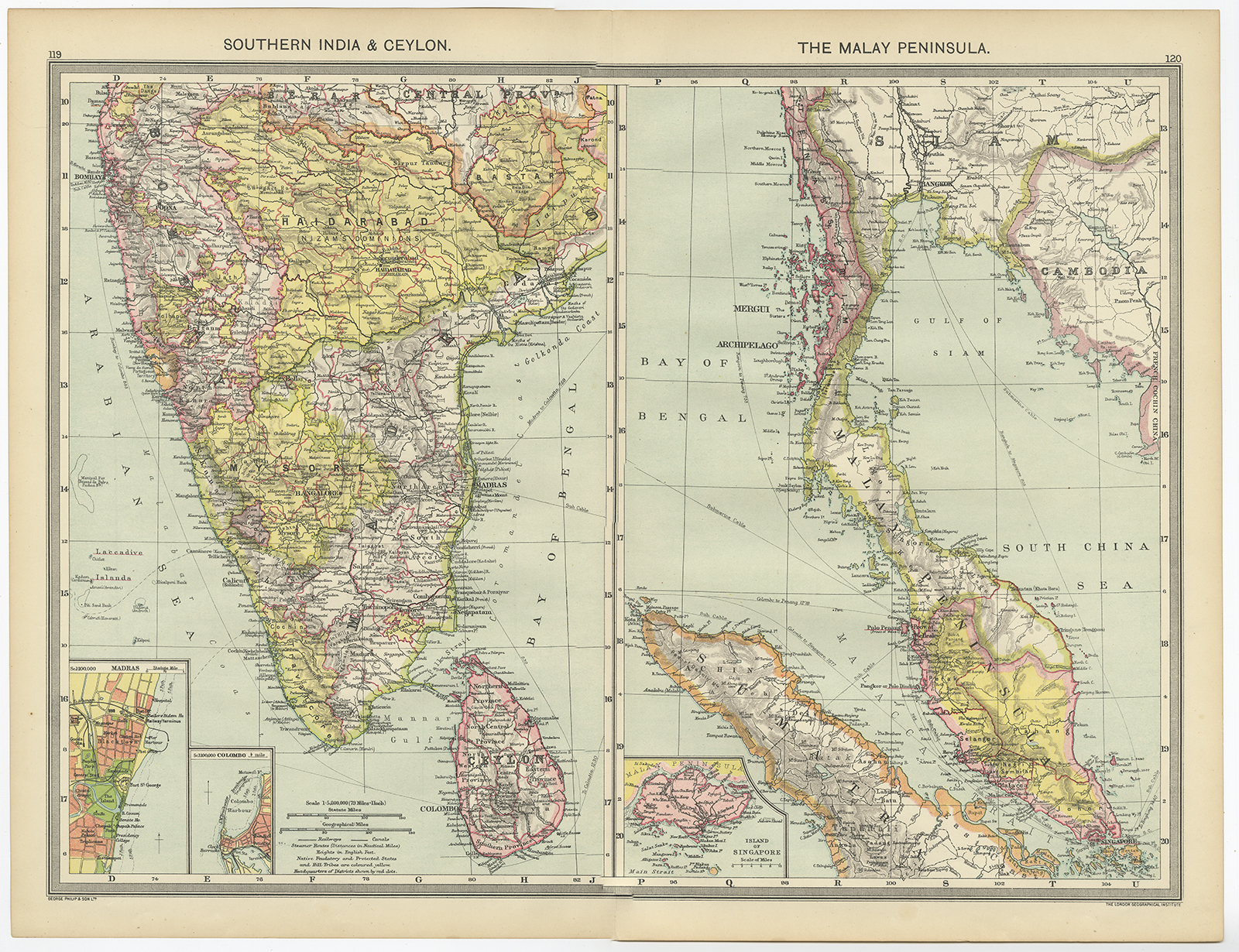
Map of Southern India, Ceylon, and Malay Peninsula – George Philip & Son (1920-1927)
Two sheet-detailed map of Southern India & Ceylon (the southern part of India Empire) and on the left side and Malay Peninsula with Singapore on the inset for the right side. By George Philip & Son and the London Geographical Institute.
Two sheet-detailed map of Southern India & Ceylon (the southern part of India Empire) and on the left side and Malay Peninsula with Singapore on the inset for the right side. By George Philip & Son and the London Geographical Institute. An attractive vintage lithograph that shows the countries, colonies, cities, towns, railways, canals, rivers, lakes and mountains in the region.
- Date: between 1920 and 1927
- Measurements : 520 x 390 mm
- Condition: Excellent; general age related toning; some light staining from handling.
- Purchase code: BGJ-008-2018