Skip to content
Maps of Asia
Dutch East Indies
Jakarta Collection
Visit Us
Contact
Shop Online Worldwide
Shop Online Worldwide
Maps of Asia
Dutch East Indies
Jakarta Collection
Visit Us
Contact
Home
/
Products tagged “Plans & Charts”
/ Page 10
Plans & Charts
Showing 109–120 of 764 results
Default sorting
Sort by popularity
Sort by latest
Sort by price: low to high
Sort by price: high to low
Jakarta Collection
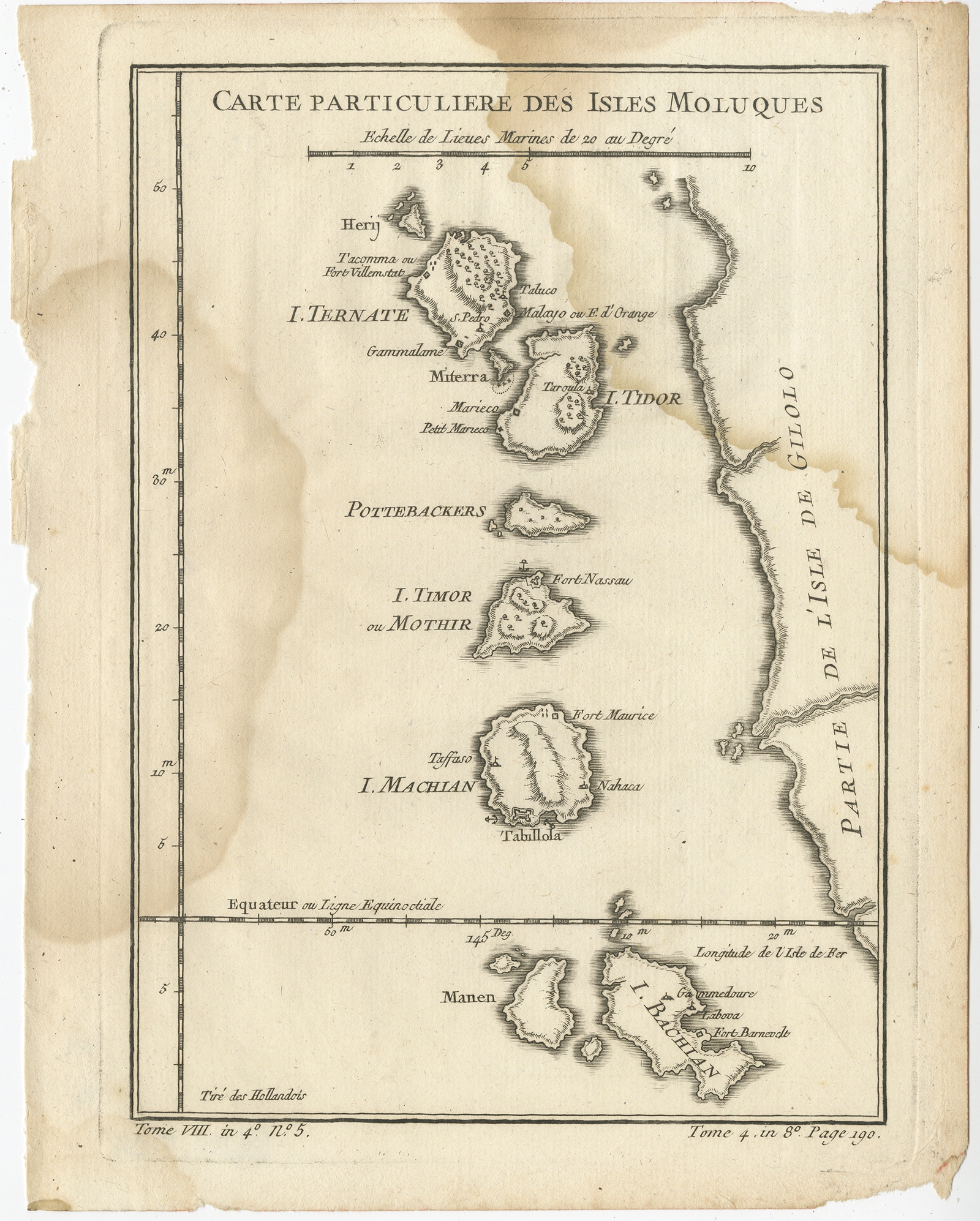
Antique Map of the Maluku Islands by Bellin (1760)
Jakarta Collection
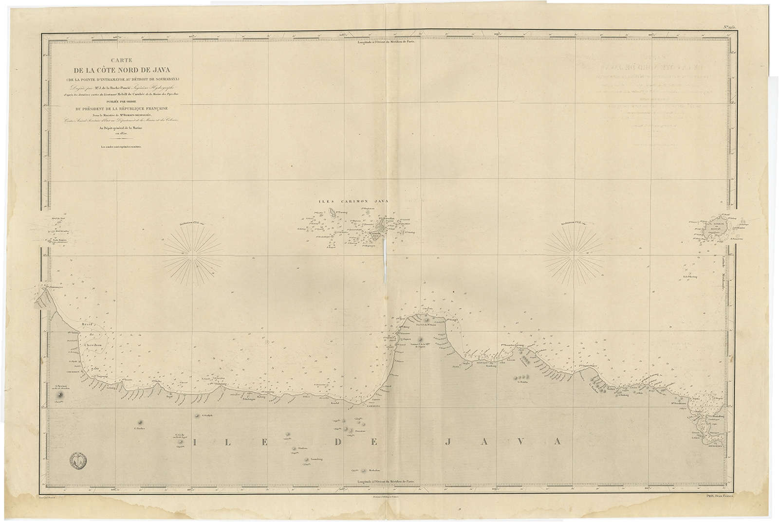
Antique Map of the Northern Coast of Java (c.1850)
Jakarta Collection
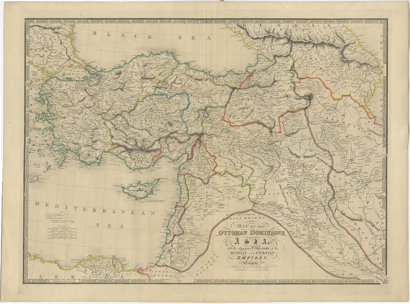
Antique Map of the Ottoman Empire by Wyld (c.1840)
Jakarta Collection
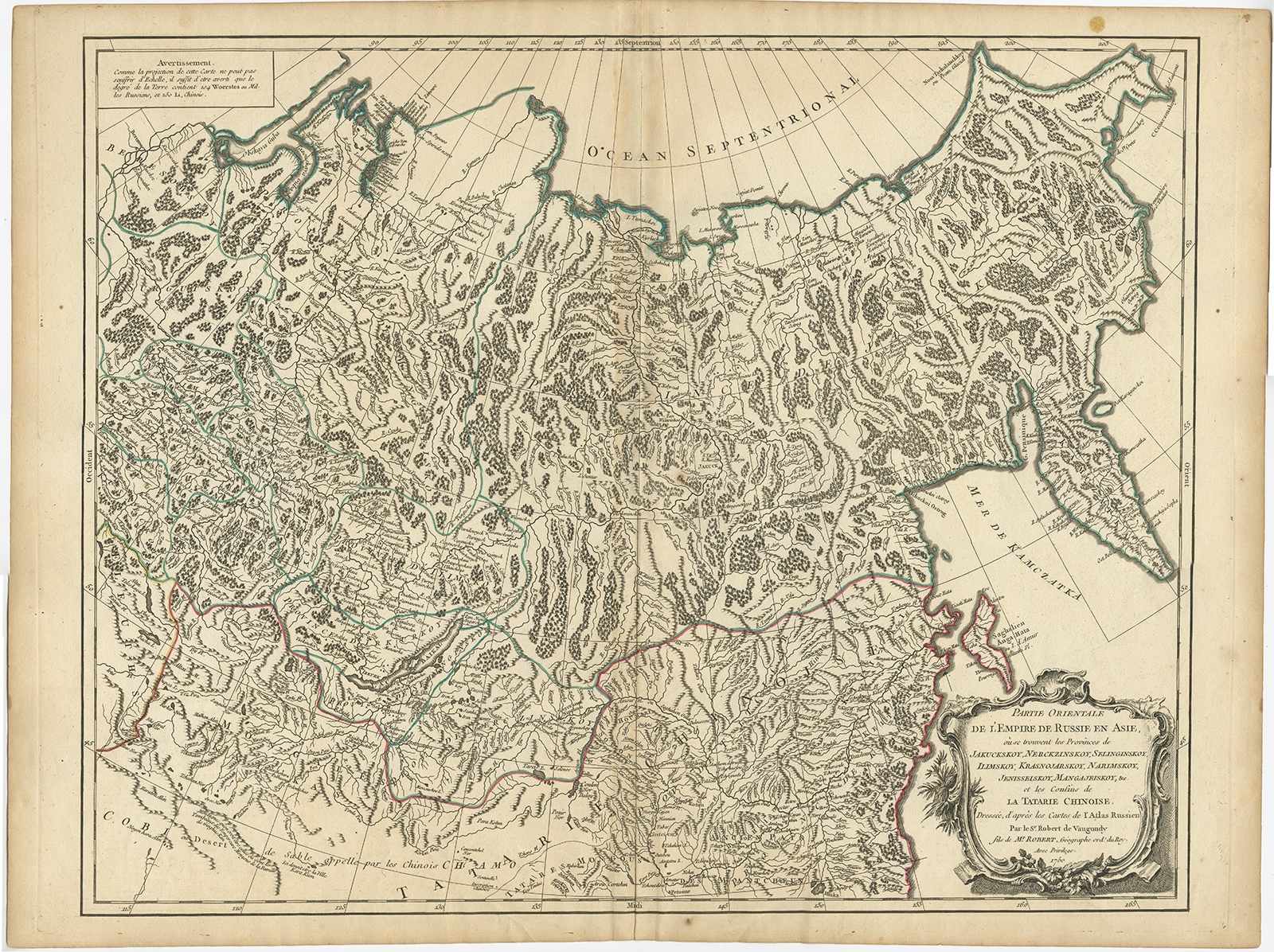
Antique Map of the Russian Empire in Asia by Vaugondy (1750)
Jakarta Collection
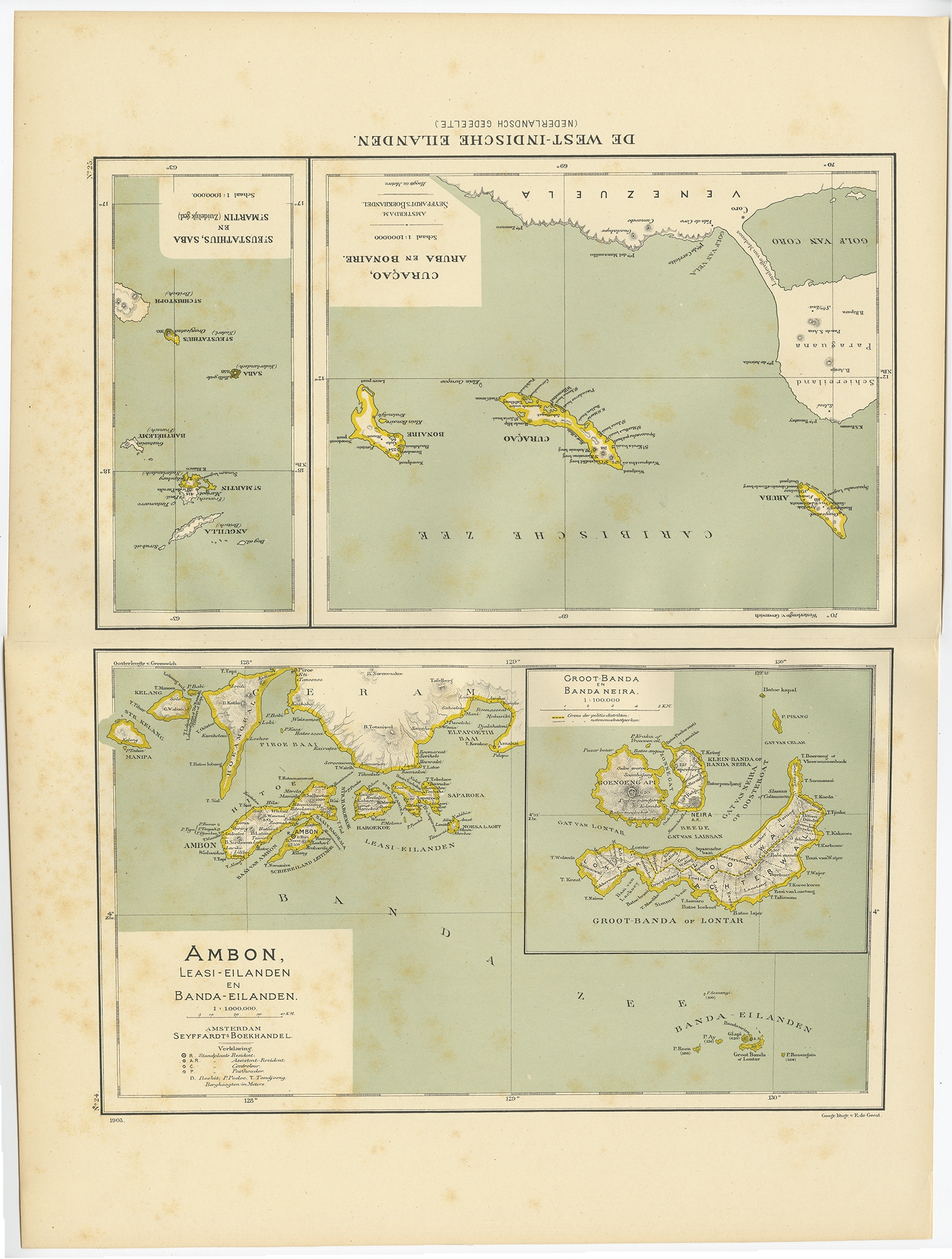
Antique Map of the West Indies and Ambon by Dornseiffen (1900)
Jakarta Collection
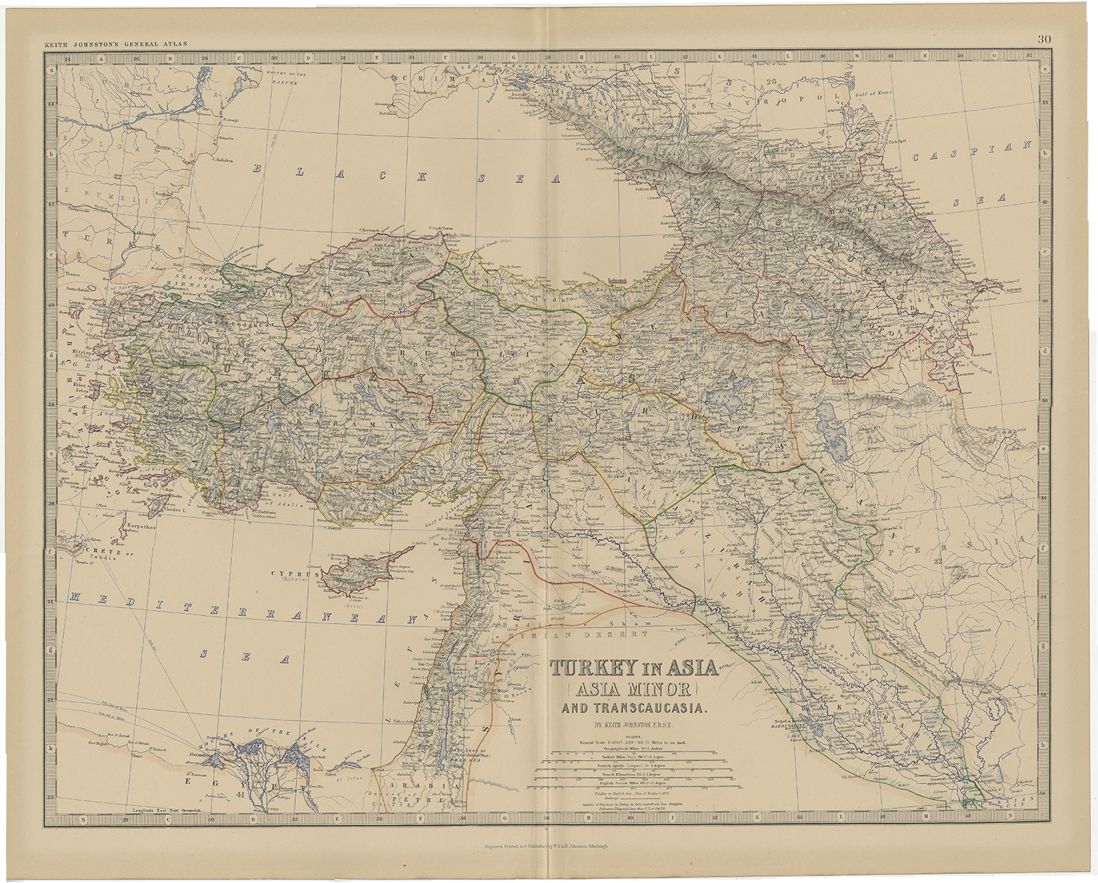
Antique Map of Turkey in Asia by Johnston (1882)
Jakarta Collection
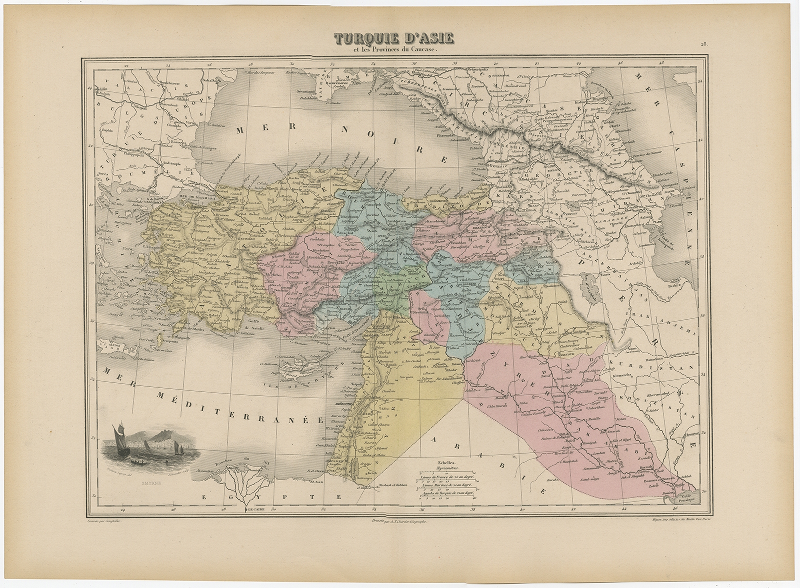
Antique Map of Turkey in Asia by Migeon (1880)
Jakarta Collection
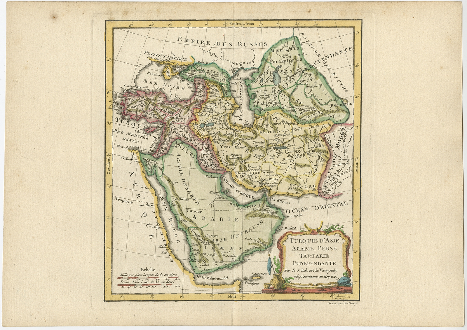
Antique Map of Turkey in Asia by Vaugondy (1778)
Jakarta Collection
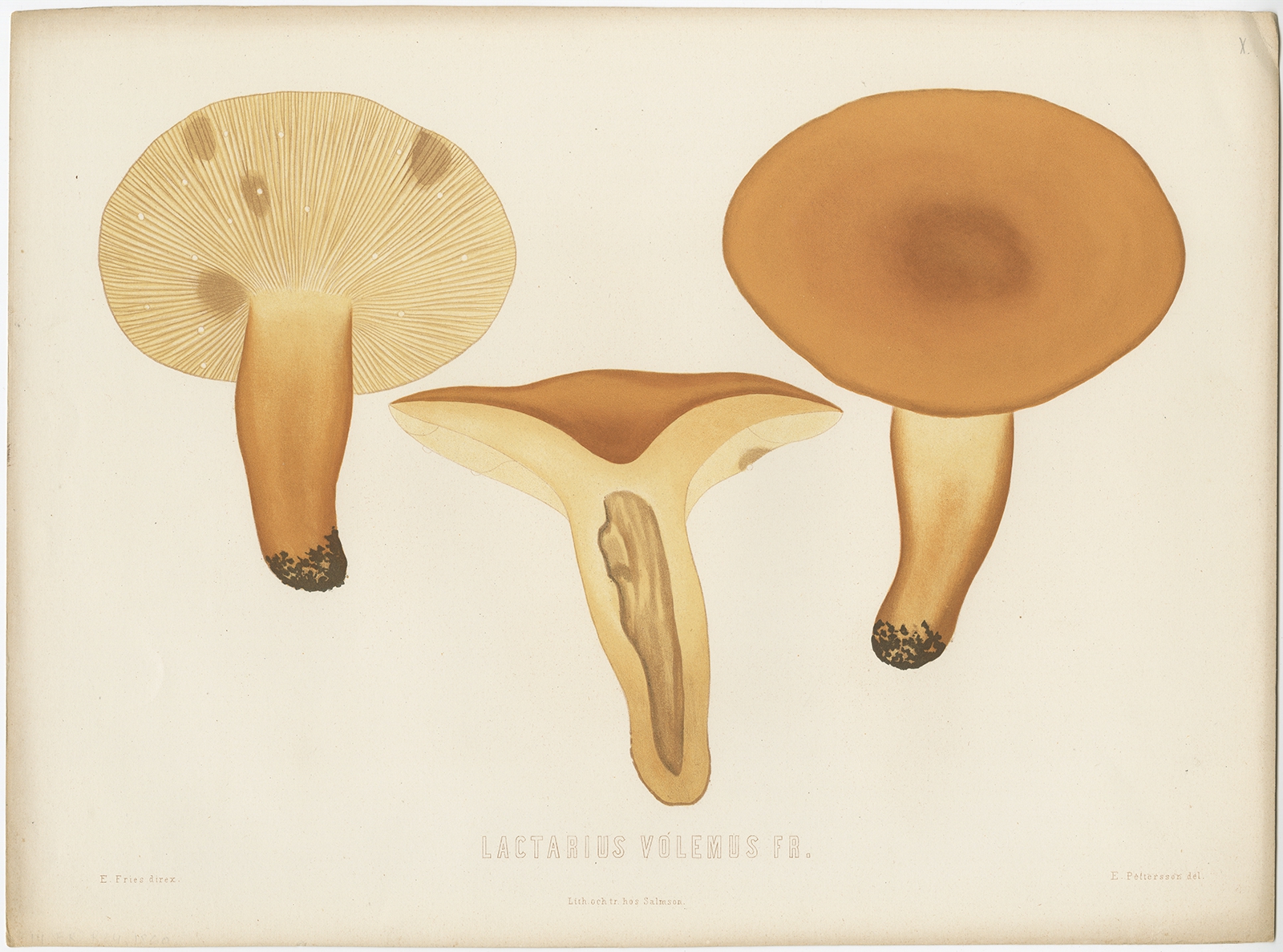
Antique Mycology Print of the Lactifluus Volemus by Fries (c.1860)
Jakarta Collection
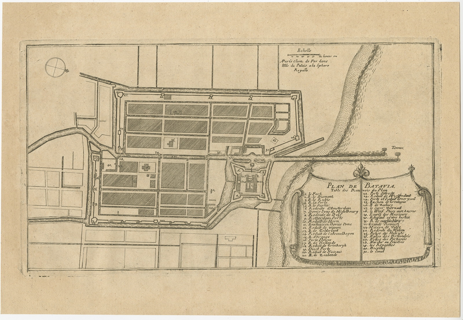
Antique Plan of Batavia by De Fer (c.1695) – SOLD
Jakarta Collection
Antique Portrait of Adi Patti Mandura by Van de Velde (1844)
Jakarta Collection
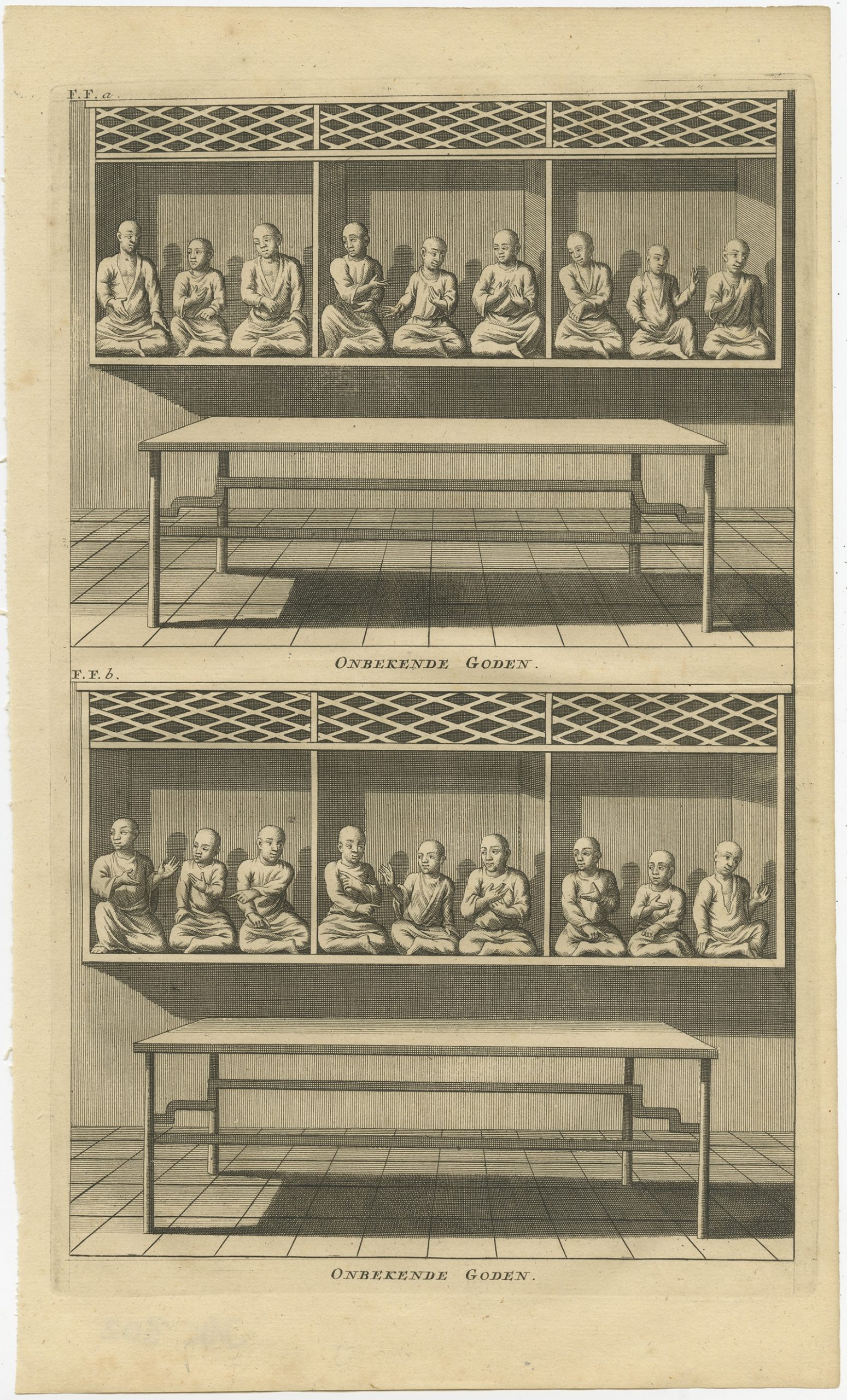
Antique Print of various Chinese Gods by Valentijn (1726)
←
1
2
3
…
7
8
9
10
11
12
13
…
62
63
64
→
Visit Gallery
WhatsApp
Shop Online
Location
Scroll to Top