Skip to content
Maps of Asia
Dutch East Indies
Jakarta Collection
Visit Us
Contact
Shop Online Worldwide
Shop Online Worldwide
Maps of Asia
Dutch East Indies
Jakarta Collection
Visit Us
Contact
Home
/
Products tagged “Plans & Charts”
/ Page 27
Plans & Charts
Showing 313–324 of 764 results
Default sorting
Sort by popularity
Sort by latest
Sort by price: low to high
Sort by price: high to low
Jakarta Collection
Carte De L’Isle Celebes ou Macassar – Bellin (1754)
Jakarta Collection
Carte de L’Isle Celebes ou Macassar – Bellin (c.1750)
Jakarta Collection
Carte de l’Oceanie – Delamarche (1836)
Jakarta Collection
Carte de l’Oceanie – Delamarche (1836)
Jakarta Collection
Carte de la Navigation de Batavia a Amboina – Stavorinus (1779)
Jakarta Collection
Carte de la Partie Superieure de l’Inde (..) – Bonne (c.1780)
Jakarta Collection
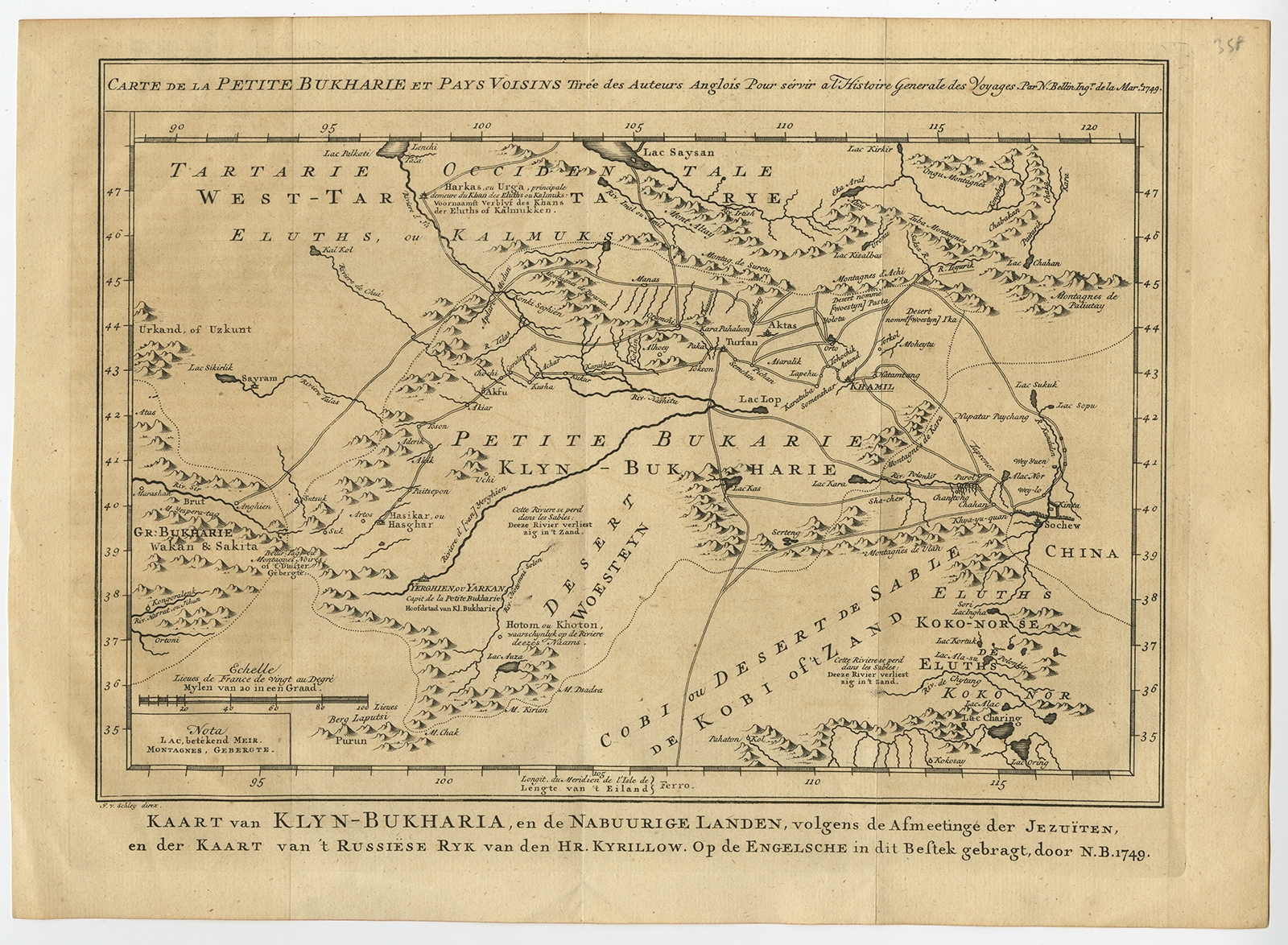
Carte de la Petite Bukharie et Pays Voisins – Bellin (1749)
Jakarta Collection
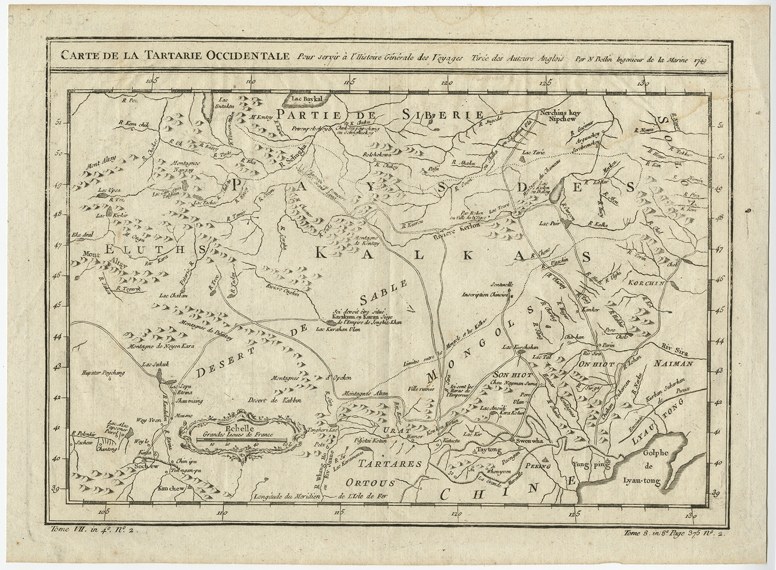
Carte de la tartarie occidentale – Bellin (1749)
Jakarta Collection
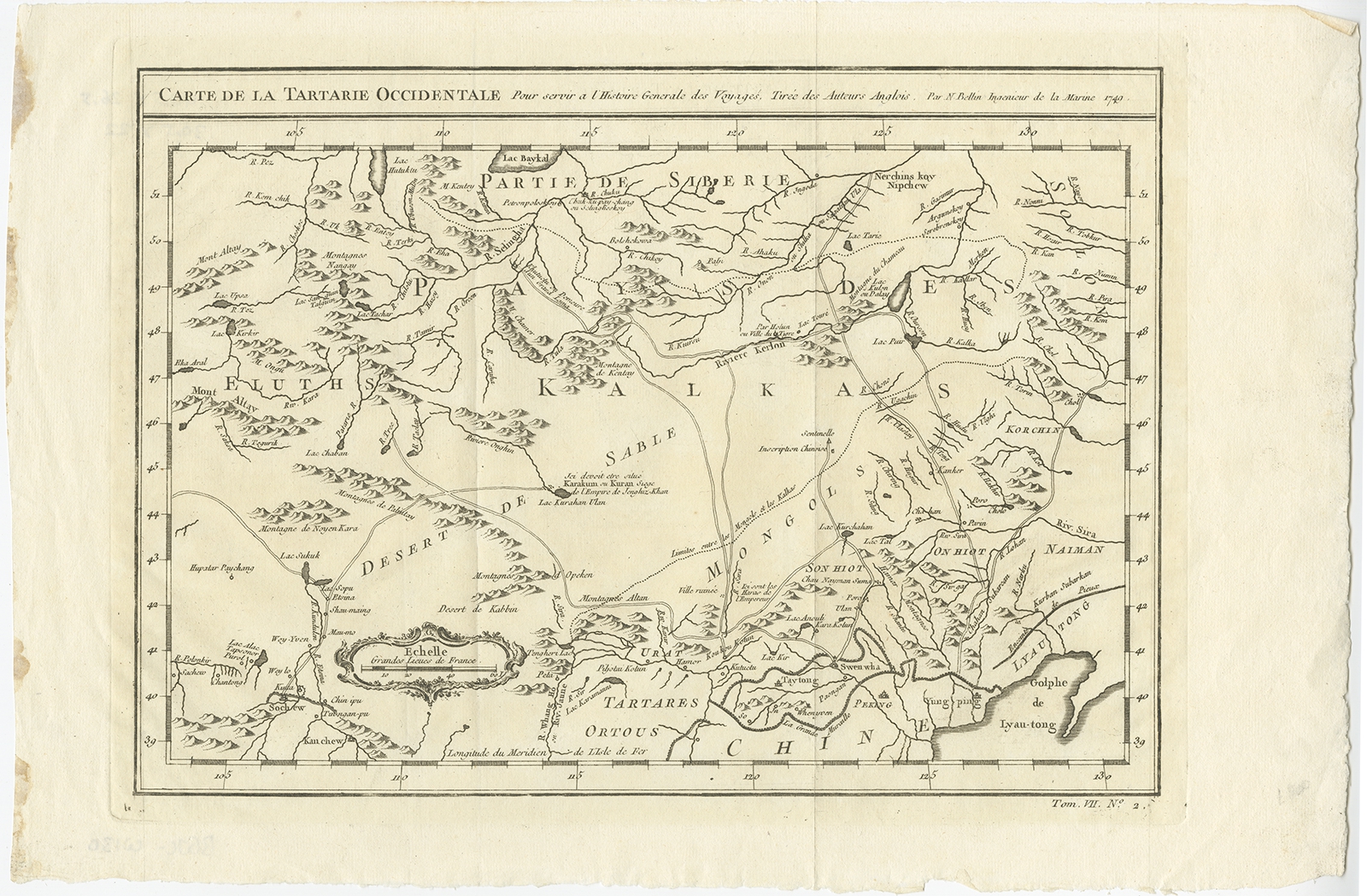
Carte de la tartarie occidentale – Bellin (c.1750)
Jakarta Collection
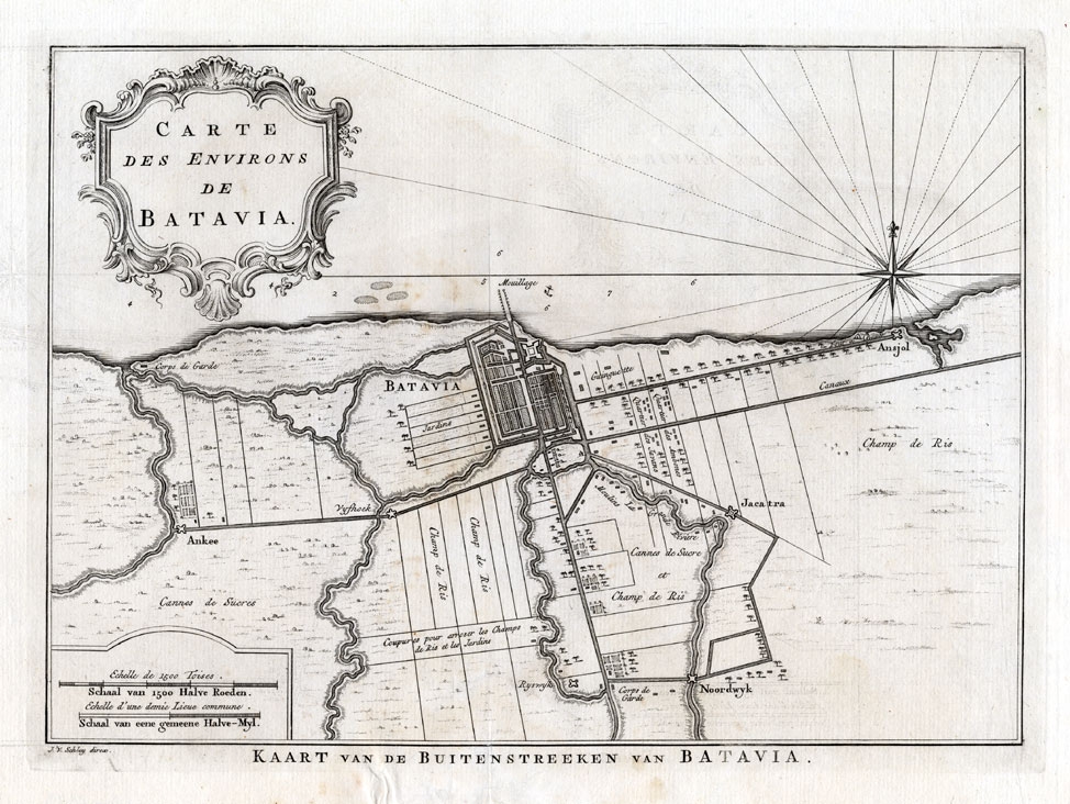
Carte des environs de Batavia – Bellin (1750)
Jakarta Collection
Carte des environs de Batavia – Conradi (1782)
Jakarta Collection
Carte des nouvelles decouvertes (..) – Vaugondy (c.1772)
←
1
2
3
…
24
25
26
27
28
29
30
…
62
63
64
→
Visit Gallery
WhatsApp
Shop Online
Location
Scroll to Top