Description
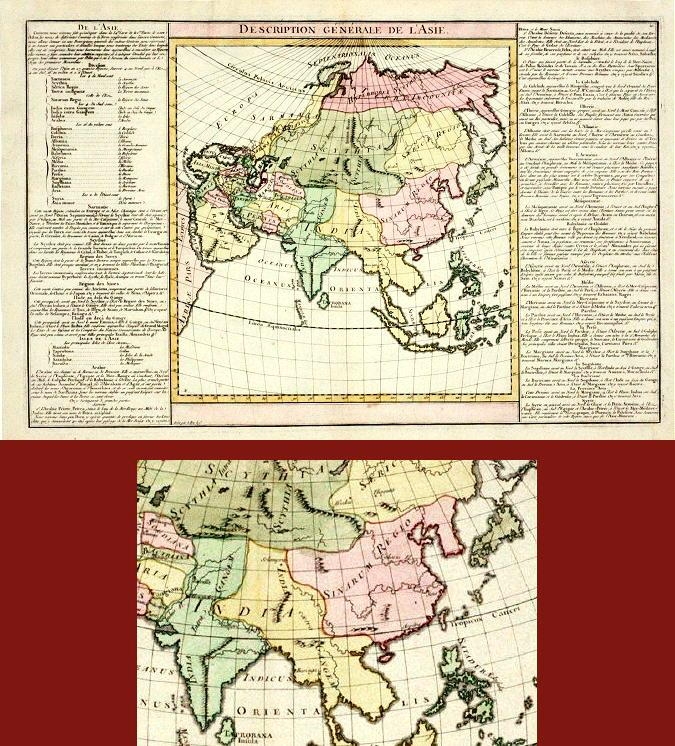
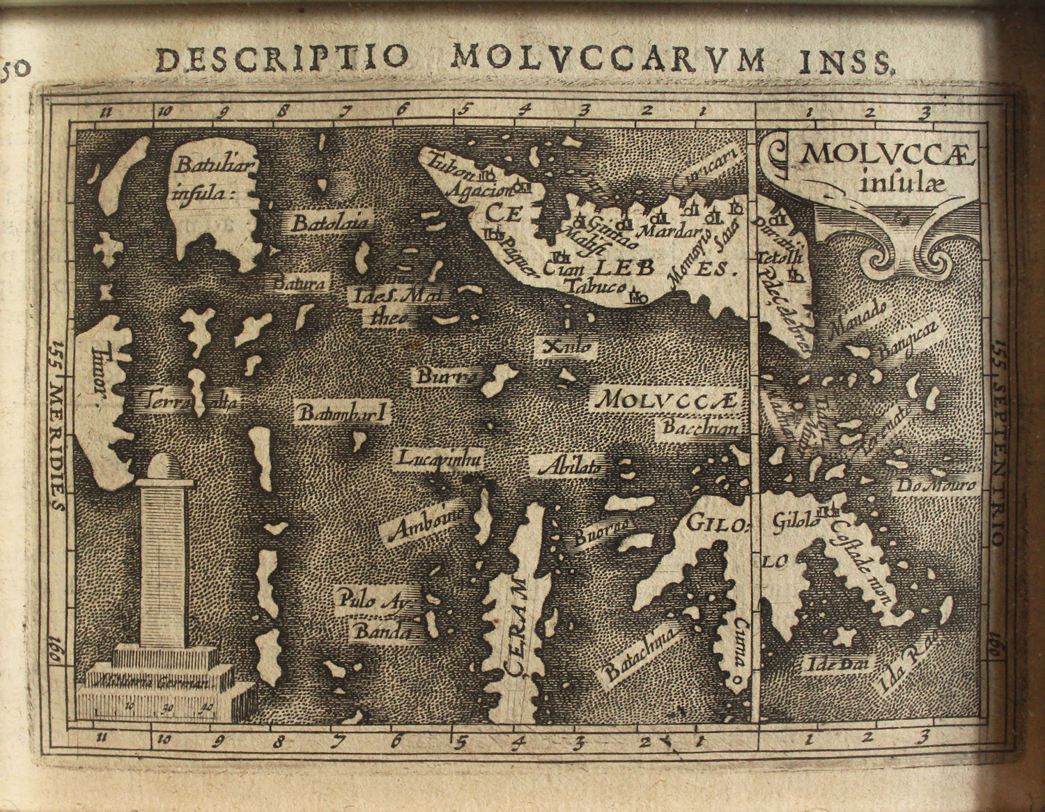
Description: Antique map Middle East titled ‘A New and accurate map of Anatolia or Asia Minor, with Syria and such other provinces of the Turkish Empire (..)’. Beautiful map of Turkey between the Black Sea and Cyprus. This map originates from ‘A Complete System of Geography’.
Artists and Engravers: Emanuel Bowen (1694?-1767) was a British engraver and print seller.
- Date: 1747
- Overall size: 48 x 38.5 cm.
- Image size: 42 x 34 cm.
- Condition: Good, general age-related toning. Few worm holes, please study image carefully.


