Description
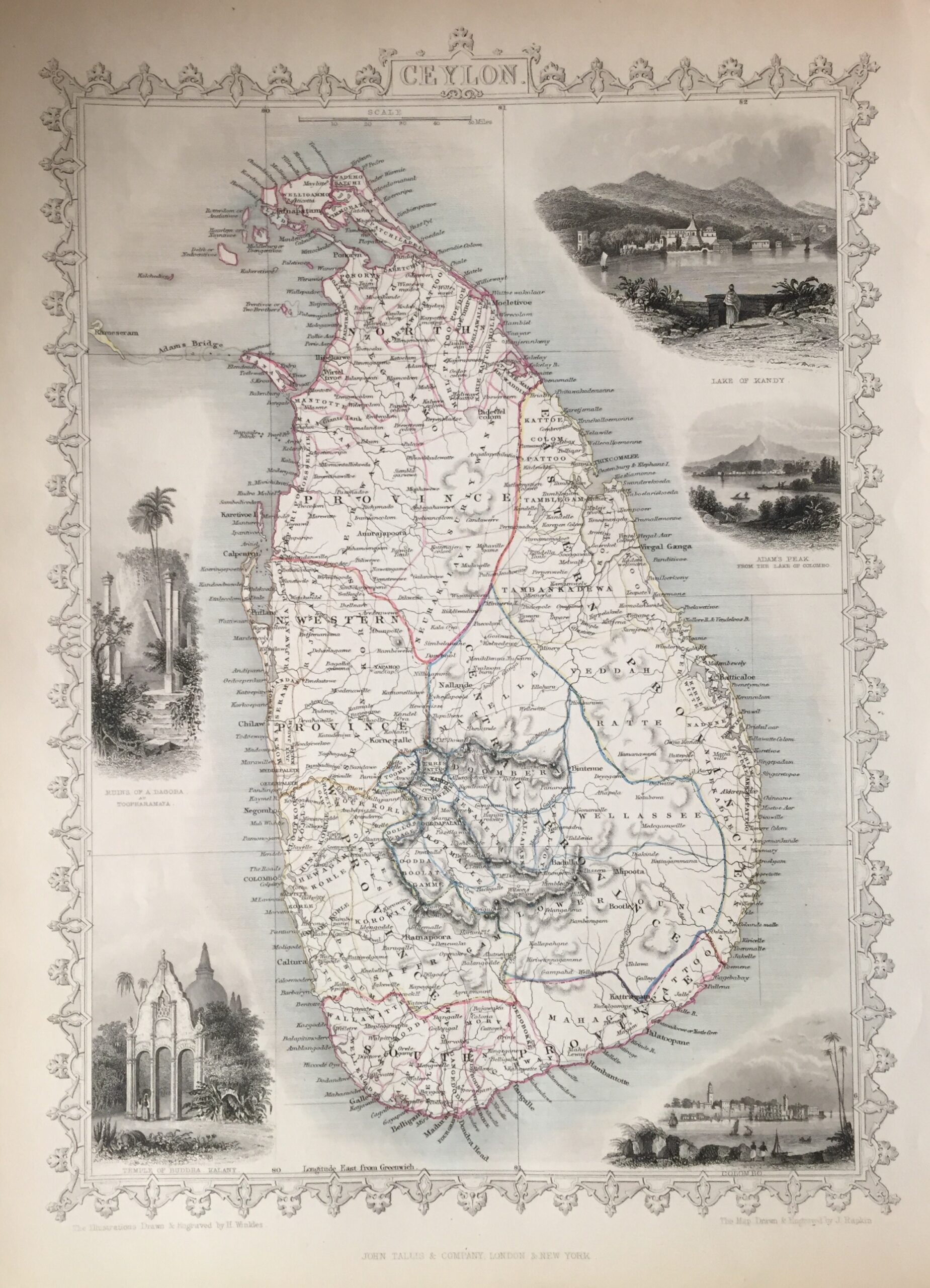
Antique Map Ceylon by Tallis titled ‘Ceylon’. Finely engraved mid 19th century map of Ceylon, which was drawn and engraved by John Rapkin (H. Warren & J. Rogers) and published in John Tallis & co.’s The Illustrated Atlas (London & New York: c.1851). This is an earlier version of the Tallis map (possibly proof) which is without the vignette of ‘Circular Head’ and has a different view of Hobart.
The Illustrated Atlas, published from 1849 to 1853, was the last decorative world atlas.
Condition: Very good.
Measures: 252mm x 349mm.
Year: 1849 – 53
Purchase Code: M2325
SOLD


