Subtotal: $600,00
- Selection Required: Select product options above before making new offer.
- Error: There was an error sending your offer, please try again. If this problem persists, please contact us.
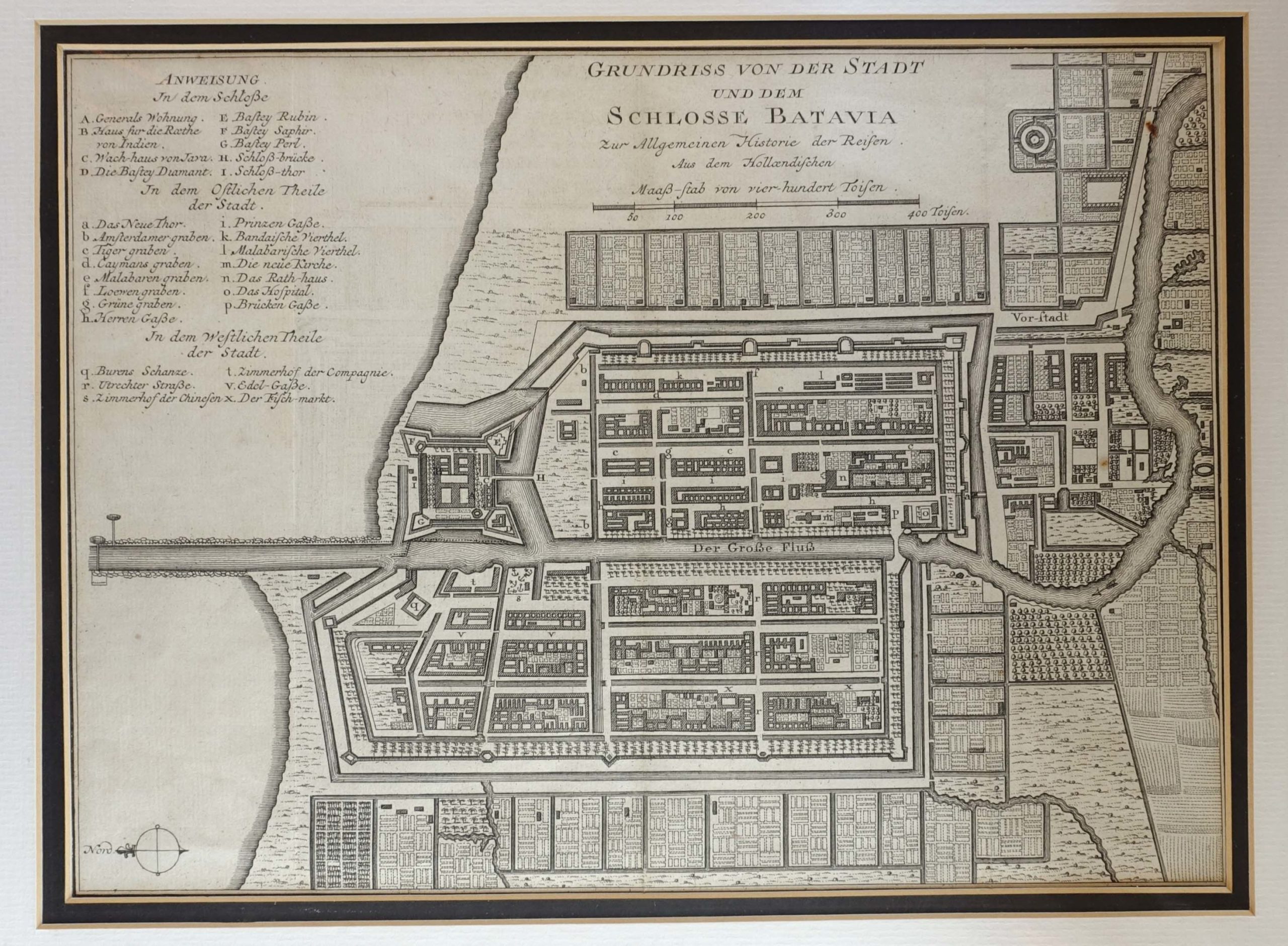
Antique Map of Batavia by Bellin (c.1751)
$295,00
Description
Antique map of Batavia titled ‘Grundriss von der Stadt und dem Schlosse Batavia’. Plan of the city and the castle of Batavia in the Dutch East Indies / Indonesia. This map originates from ‘Allgemeine Historie der Reisen zu Wasser und zu Lande; oder Sammlung aller Reisebeschreibungen’ published by Arkstee and Merkus.
Jacques Nicolas Bellin (1703 – 21 March 1772) was born in Paris. He was hydrographer of France’s hydrographic office, member of the Académie de Marine and of the Royal Society of London. Over a 50 year career, he produced a large number of maps of particular interest to the Ministère de la Marine.
Condition: Very good, please study image carefully.
Overall size: 44,5 x 37 cm (including passe-partout)
Image size: 30,5 x 23 cm.
Purchase code : M1004
4.000.000,00 IDR (incl.passepartout)
250,00 Euro (incl.passepartout)
280,00 USD (incl.passepartout)
Please do not hesitate to contact us if you would like to receive more information about this antique print.
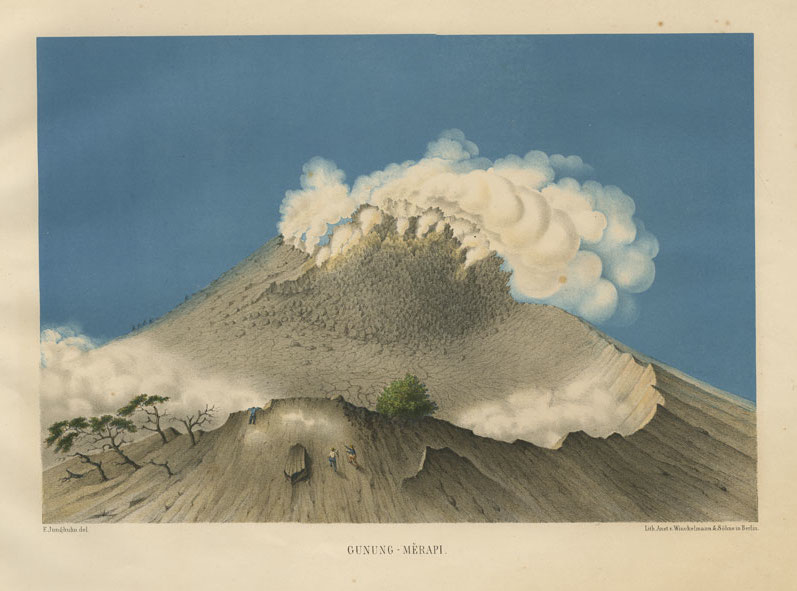
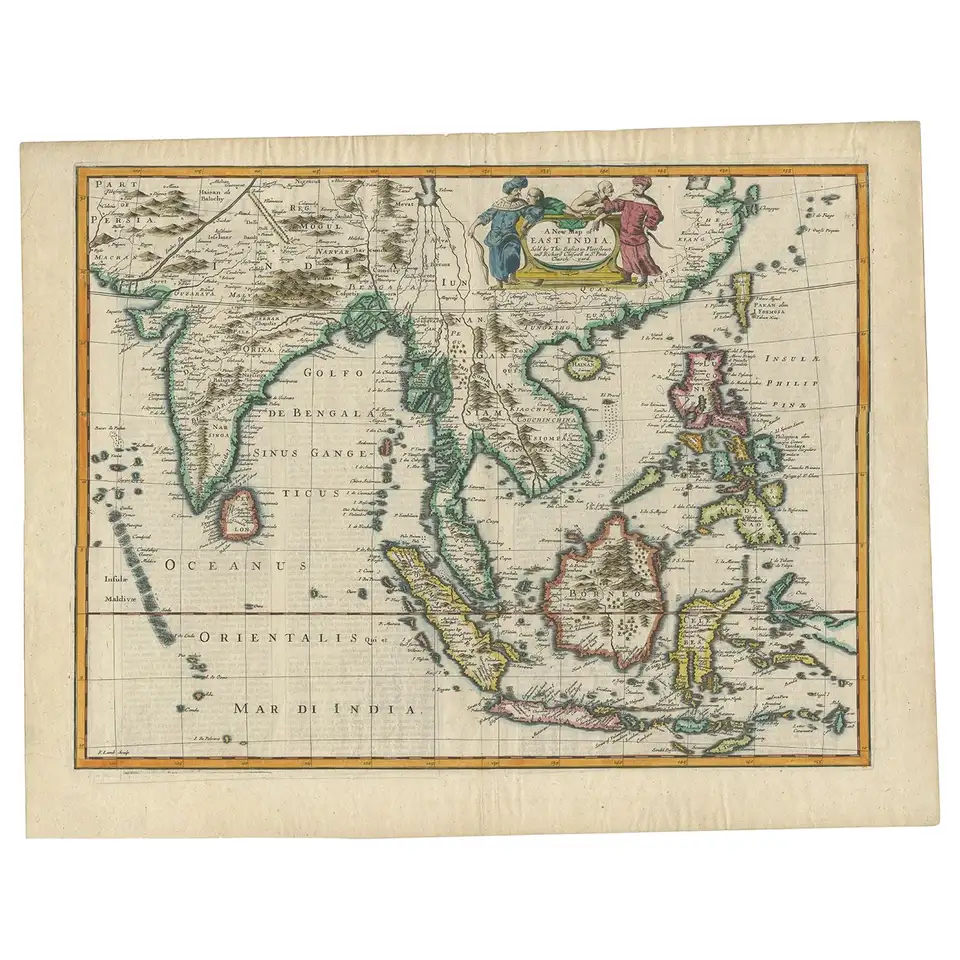
Related products
-
 $1.300,00
 -
$0,00
-
$3.600,00
-
$2.785,00