Subtotal: $420,00
- Selection Required: Select product options above before making new offer.
- Error: There was an error sending your offer, please try again. If this problem persists, please contact us.
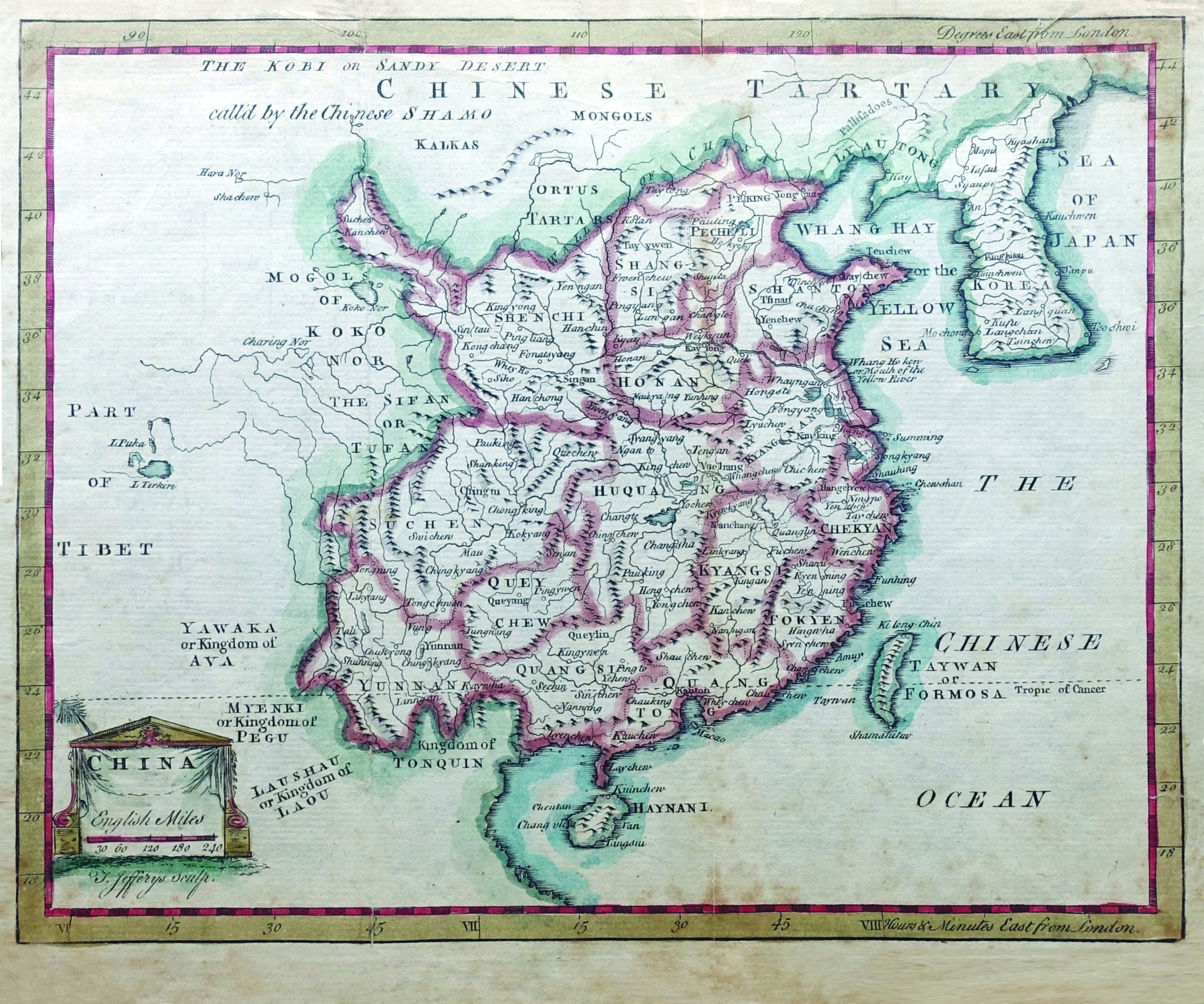
China Map – Sculp (c.1700)
$150,00
An rare 18th century map of “CHINA” with the cartographer Thomas Jeffreys Sculp’ name under the title.
Out of stock
Description
A rare 18th century map of “CHINA” with the cartographer Thomas Jeffreys Sculp’ name under the title. The map shows the various regions of China such as Hunan, Shanton, Peking, Kyangnan, Quangsi, and Huquang among others. Also the cities, rivers, mountain ranges, water bodies are all shown. The longitudinal and latitude lines with London being the zero and time being reference in hours and minutes east of London.
Artists and Engravers : Thomas Jefferys (1719 – 1771), “Geographer to King George III”, was an English cartographer who was the leading map supplier of his day. He engraved and printed maps for government and other official bodies and produced a wide range of commercial maps and atlases, especially of North America. As the ‘Geographer to the Prince of Wales’, he produced A Plan of all the Houses, destroyed & damaged by the Great Fire, which begun in Exchange Alley Cornhill, on Friday March 25, 1748. He produced The Small English Atlas with Thomas Kitchin, and he engraved plans of towns in the English Midlands.
- Date : 18h century
- Techniques : Copper-engraved
- Measurements : 245 x 200 mm
- Condition: Fair; tear and many brown stains and toning on the side; therefore not affecting the image of the map.
- Purchase code: BGJC-039
Related products
-
 $800,00
 -
$0,00
-
$160,00
-
$310,00