Jakarta Collection
Antique Map of Asia by Brion de la Tour (1790)
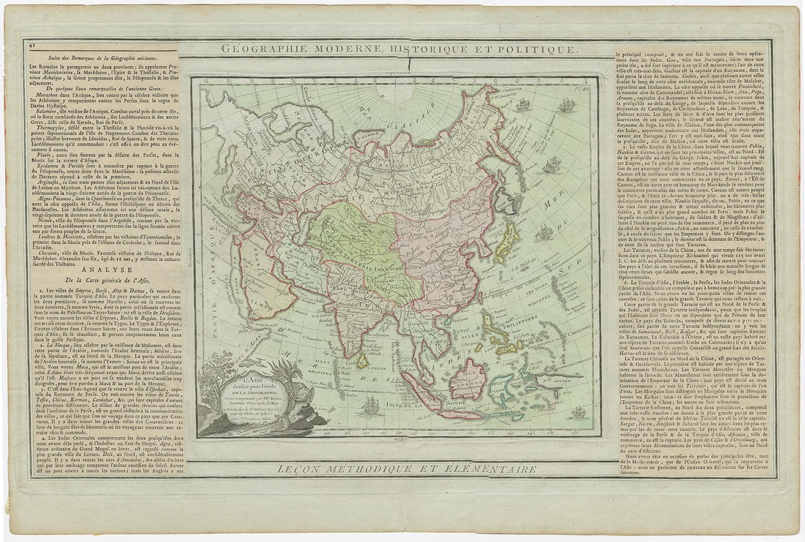
Description: Antique map titled ‘L’Asie dressee pour l’etude de la Geographie (..)’. Attractive map of Asia with an ornate cartouche and ships surrounding the coast. Extends to an incomplete New Guinea and shows all of Indonesia and the Marianas.
Artists and Engravers: Louis Brion de la Tour (ca. 1743-1803) was a French geographer and demographer.
- Date: 1790
- Overall size: 50.5 x 33.5 cm.
- Image size: 26 x 23 cm.
- Condition: Good, some toning. Tape on verso, please study image carefully.
- Purchase code: BG-07144