Subtotal: $6.435,00
- Selection Required: Select product options above before making new offer.
- Error: There was an error sending your offer, please try again. If this problem persists, please contact us.

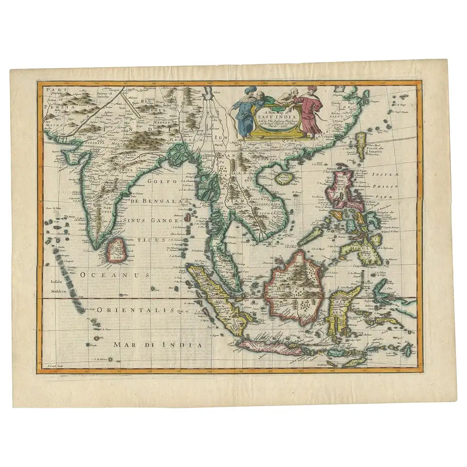
Antique Map Java by Chatelain (1719)
$3.600,00
Description
Antique Map Java by Chatelain titled ‘CARTE DE L’ILE DE JAVA : PARTIE OCCIDENTALE, PARTIE ORIENTALE, DRESSÉE TOUT NOUVELLEMENT SUR LES MÉMOIRES LES PLUS EXACTS;’.
The much sought-after large-scale map of Java in excellent modern colour by the 18th-century French cartographer Abraham Chatelain (1684-1743) was published in Volume V of the Atlas Historique in 1719. The map, modelled on Hadrien Reland’s earlier map that was also the source for Gerard van Keulen’s chart of Java published in 1728, was printed as two separate sheets labelled west (Occidentale) and east (Orientale) that are generally joined to make a complete map of the island. The map contains extensive notes on the history and geography of Java that are included within the borders of the map and along the margins. The map is in excellent condition; measures 358 x 800 mm within map boundary.
Artist: H. Chatelain
Year: 1719
Purchase Code: M1801
Related products
-
 $3.540,00
 -
-
$2.895,00
-
$2.785,00