Antique Map of South-East Asia and the Philippines (1812) – SOLD
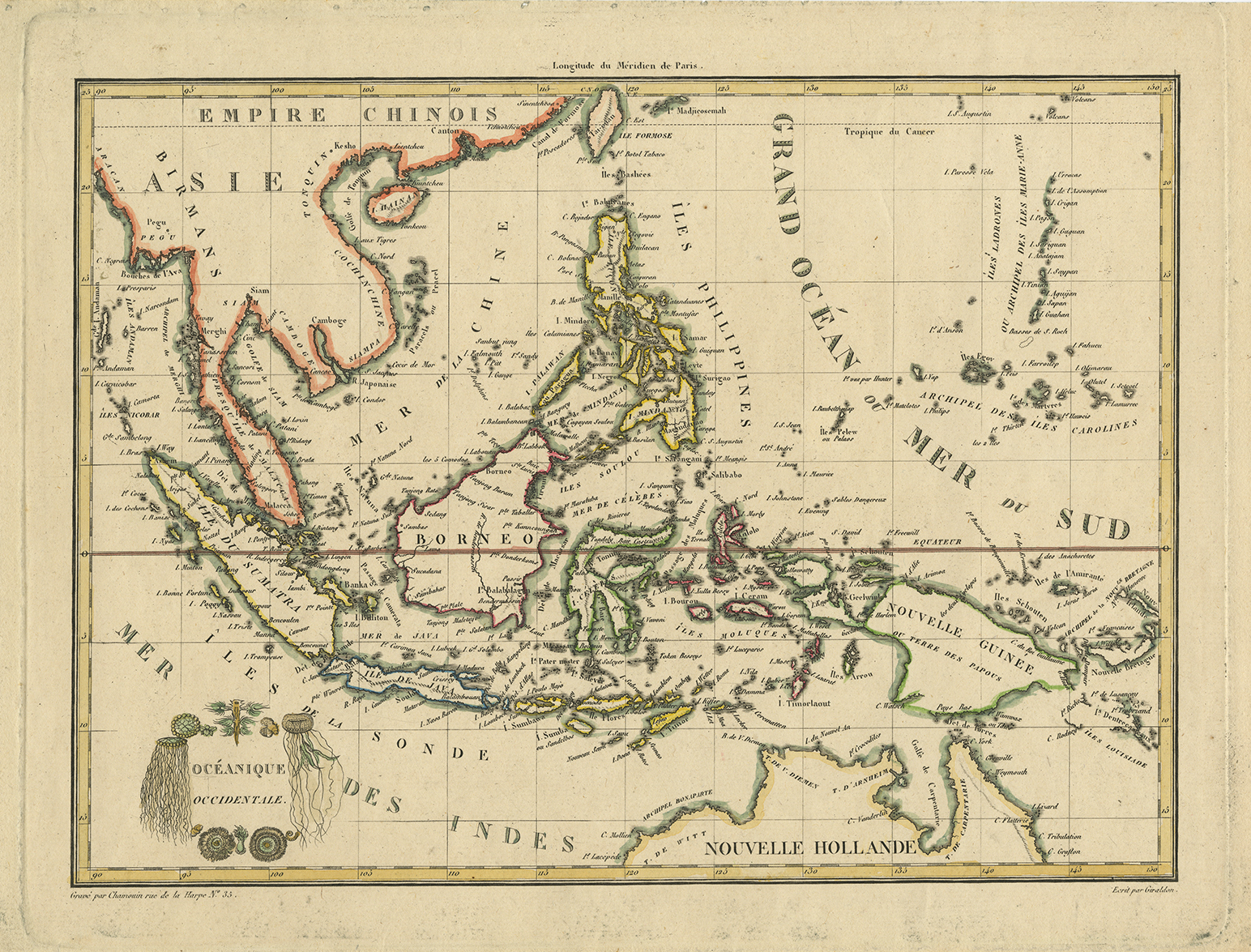
Antique Map of South-East Asia and the Philippines titled ‘Oceanique Occidentale’. Attractive map of the region bounded by Taiwan, Pegu and Northern Australia, centered on the Philippines and Borneo, by Malte Brun, published in 1812 in Paris. Malte Brun’s maps were very up to date and well researched, meaning that this map includes the most recent discoveries in the Pacific in the early 19th century.
Conrad Malte-Brun (12 August 1775 – 14 December 1826), born Malthe Conrad Bruun, and sometimes referred to simply as Malte-Brun, was a Dano-French geographer and journalist. His second son, Victor Adolphe Malte-Brun, was also a geographer.
Artist: C. Malte-Brun
Year: 1812
Dimensions 292 x 205 mm.
Condition Very good.
Coloring Outline coloring.
Technique Copperplate engraving.
Purchase Code: M2404
SOLD


