Antique Maps, Plans & Charts, Asia, Batavia, In Gallery, Indonesia
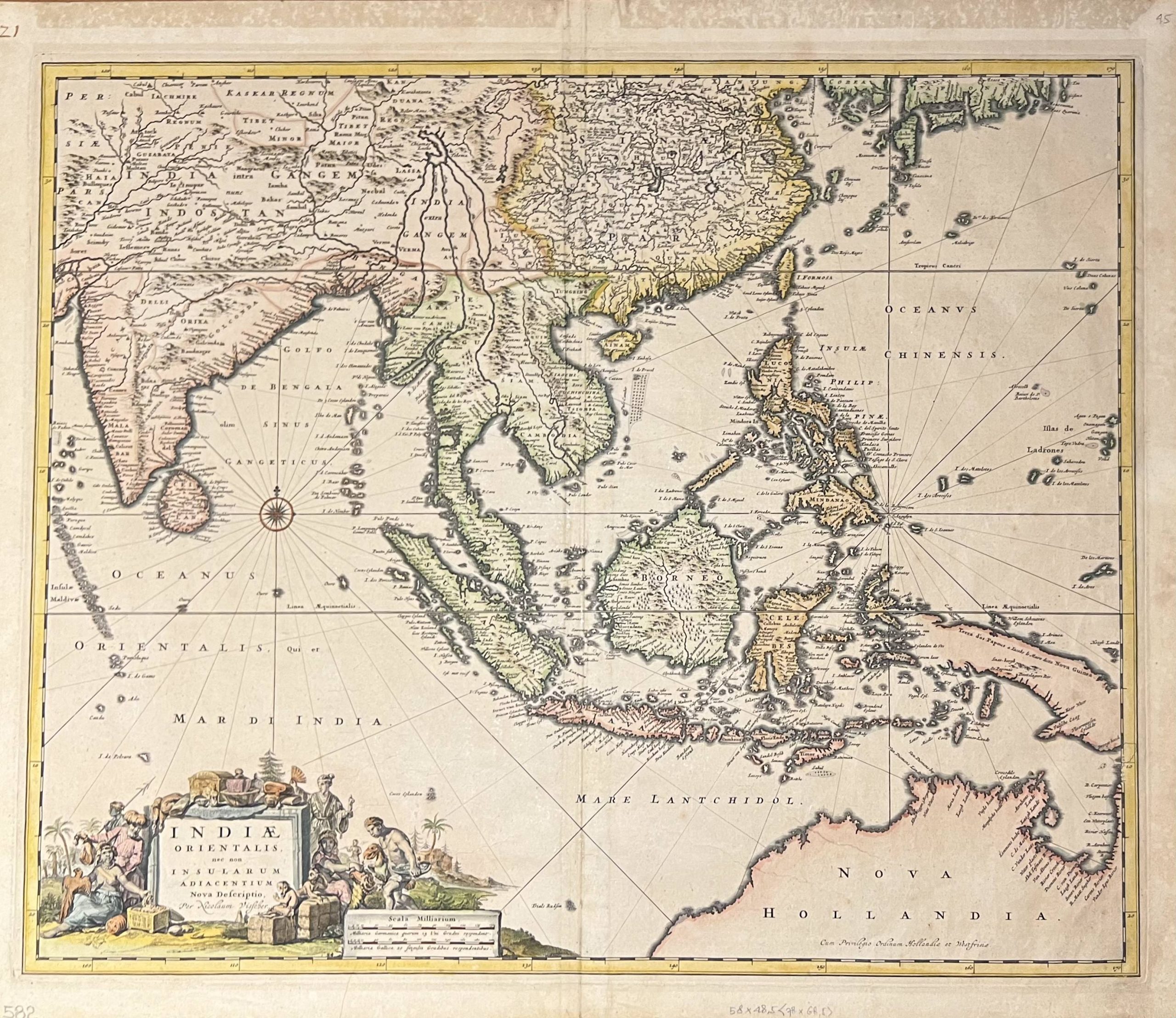
Antique Map of The East Indies by Visscher (1685)
Antique map of East Indies by Nicolaus Visscher (1649-1702) , titled ‘INDIAE ORIENTALIS, nec non INSULARUM ADIACENTUM Nova Defcriptio, per Nicolaum Visscher‘ from the 18th century and originally from an edition of Visscher’s Atlas Minor, published after 1682.
The map shows the same geography as of the De Wit maps of the region published in 1661 and 1675, shows evidence of Abel Tasman’s discoveries along the north coast of Australia in the 1640s.
Condition: Fair, general age-related toning. Some defects on the edge line. Blank verso, please study images carefully.
Dimensions: 60 x 50.5 cm.
Purchase code : MC030
2.000,00 Euro
2.160,00 USD
35.000.000 IDR
Available in our Jakarta Gallery (Not sold online)


