Description
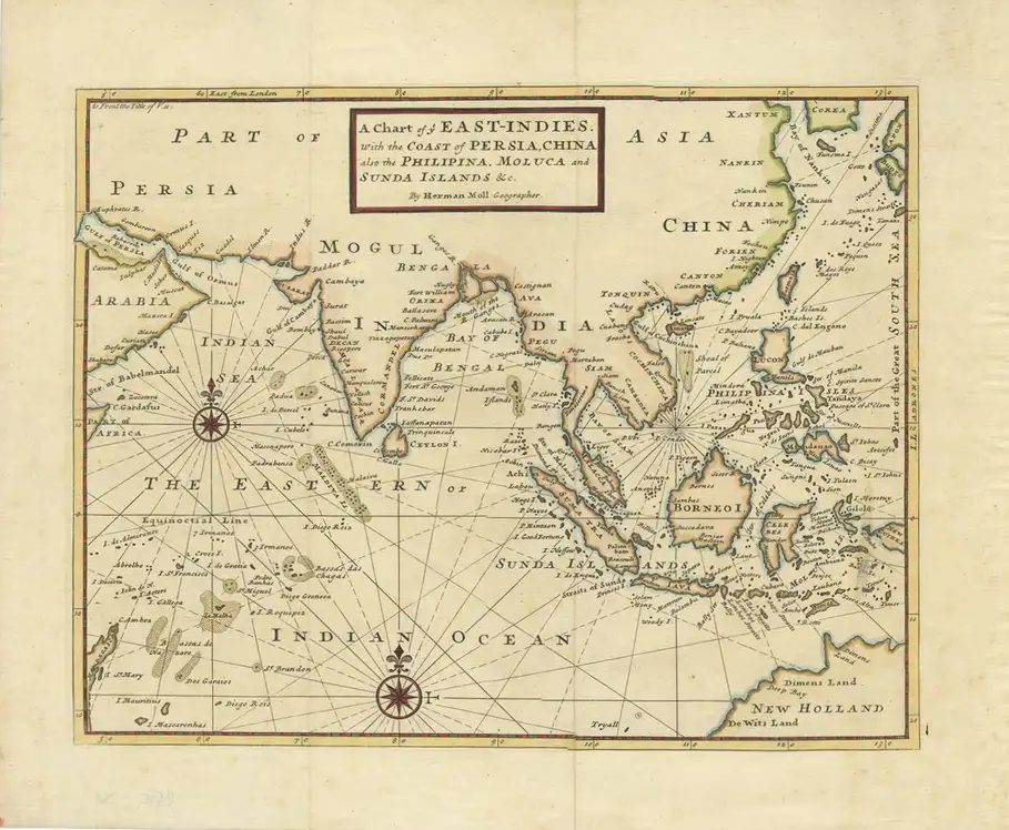
Description: Antique Print ‘Carte des environs de Batavia.’ (Map of Batavia and surroundings.) Map of the Batavia area (Jakarta) in Indonesia. With cartouche, scale and compass rose. Published in France, ca. 1741-1775
Artists and Engravers: Jacques Nicolas Bellin (1703 – 1772) was a French hydrographer, geographer, and member of the French intellectual group called the philosophes. Bellin was born in Paris. He was hydrographer of France’s hydrographic office, member of the Académie de Marine and of the Royal Society of London. Over a 50 year career, he produced a large number of maps of particular interest to the Ministère de la Marine.
- Date: 1775
- Technic: Copperplate engraving on verge type hand laid paper with watermark. Original fold.
- Overall size: 370 x 250 mm
- Condition: Excellent; general age related toning; some light staining from handling. Small repaired tears near bottom middle.
- Purchase code: BGJ-007-2018