Jakarta Collection
East Indies – Anonymous (c.1800)
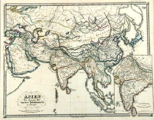
An small sheet antique map of Asia drawn by anonymous in the late 19th century. This hand-coloured map depicting a detailed region of Asia from India on the west until Papua New Guinea on the south-east.
An small sheet antique map of Asia drawn by anonymous in the late 19th century. This hand-coloured map depicting a detailed region of Asia from India on the west until Papua New Guinea on the south-east.
Condition: Good condition, only thin brown line at the centre not affecting the image.
Measures: 300 x 200 mm
Purchase code: BGJC-0023