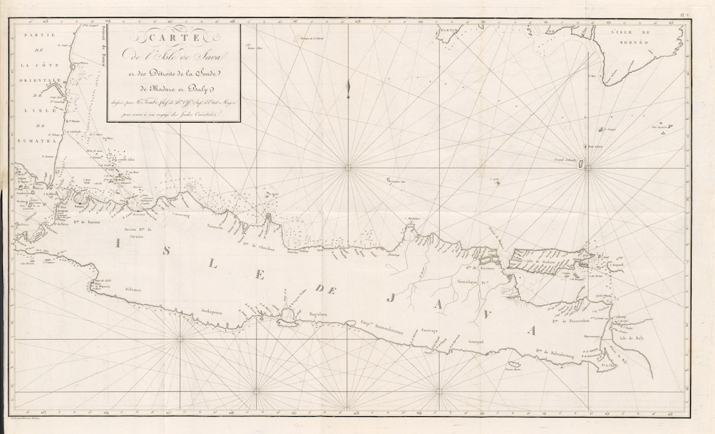
Jakarta Collection
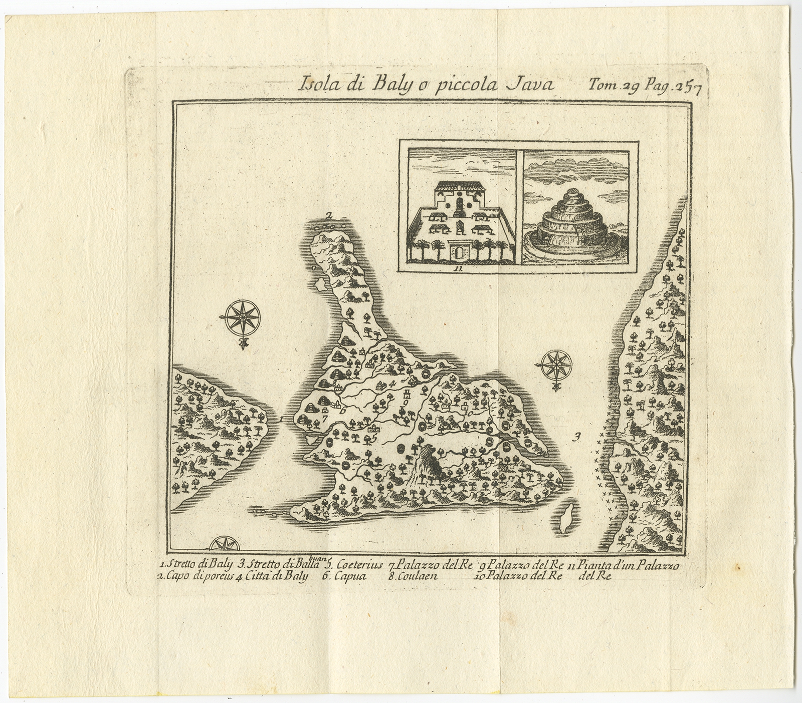
Isola di Baly o piccola Java – Bellin (1763)
Description: Antique map Indonesia titled ‘Isola di Baly o piccola Java’. Antique map of Bali Indonesia, based on the expodition of Willem Lodewijcksz 1596.
Artists and Engravers: Jacques-Nicolas Bellin (1703-1772) was a French hydrographer, geographer and member of The Philosophes. His career, spanning over 50 years, caused an enormous output in maps, particular of maritime interest.
- Maker: 1763
- Coloring: 20.5 x 18 cm.
- Overall size: 13.5 x 13.5 cm.
- Condition: Very good, general age-related toning, Please study image carefully.
- Purchase code: BG-11711