Description
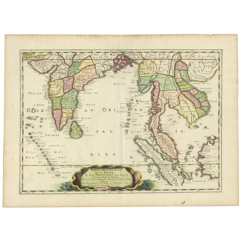
A beautiful mid-17th century sea chart of Java Island in old colour by the famous Dutch cartographer Jan Jansson also known as Janssonius (1588-1664) that was originally published in his five-volume sea atlas Atlantis Majoris Quinta Pars Orbem Maritimum in 1657.
One if three folio-sized maps of the three largest Indonesian islands in the atlas, the others being Sumatra and Borneo. The original map up to the yellow-coloured border has been professionally re-backed onto modern thick paper
Excellent condition
Measurements 612 x 480 mm
Purchase code M1400


