Jakarta Collection
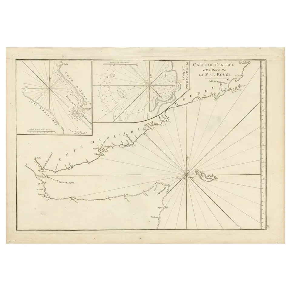
Antique Map of Part of the Red Sea by Après de Mannevillette ‘1775’
Antique map titled ‘Carte de l’Entrée du Golfe de la Mer Rouge’. Uncommon sea chart of the entrance to the Red Seas as far as Mocha, with rhumb lines and soundings. Two insets of the vicinity of Mocha.
Condition: Please study images carefully.
Dimensions: 55 x 39 cm.
Purchase code : BG-00701
515,00 Euro
615,00 USD
8.900.000 IDR