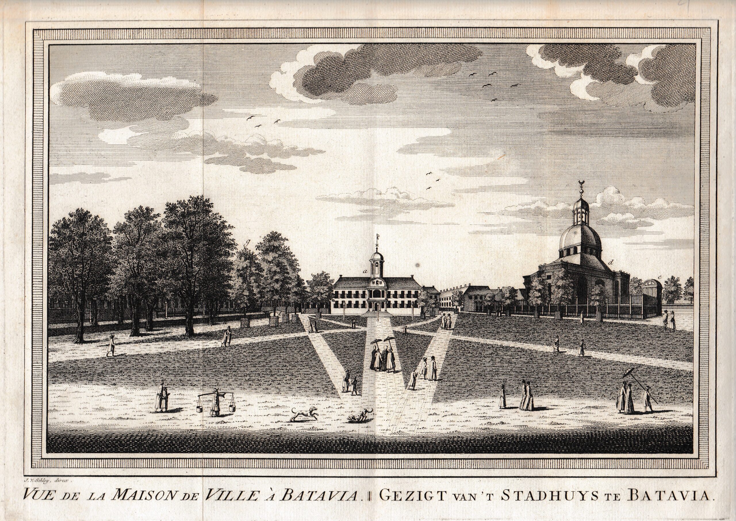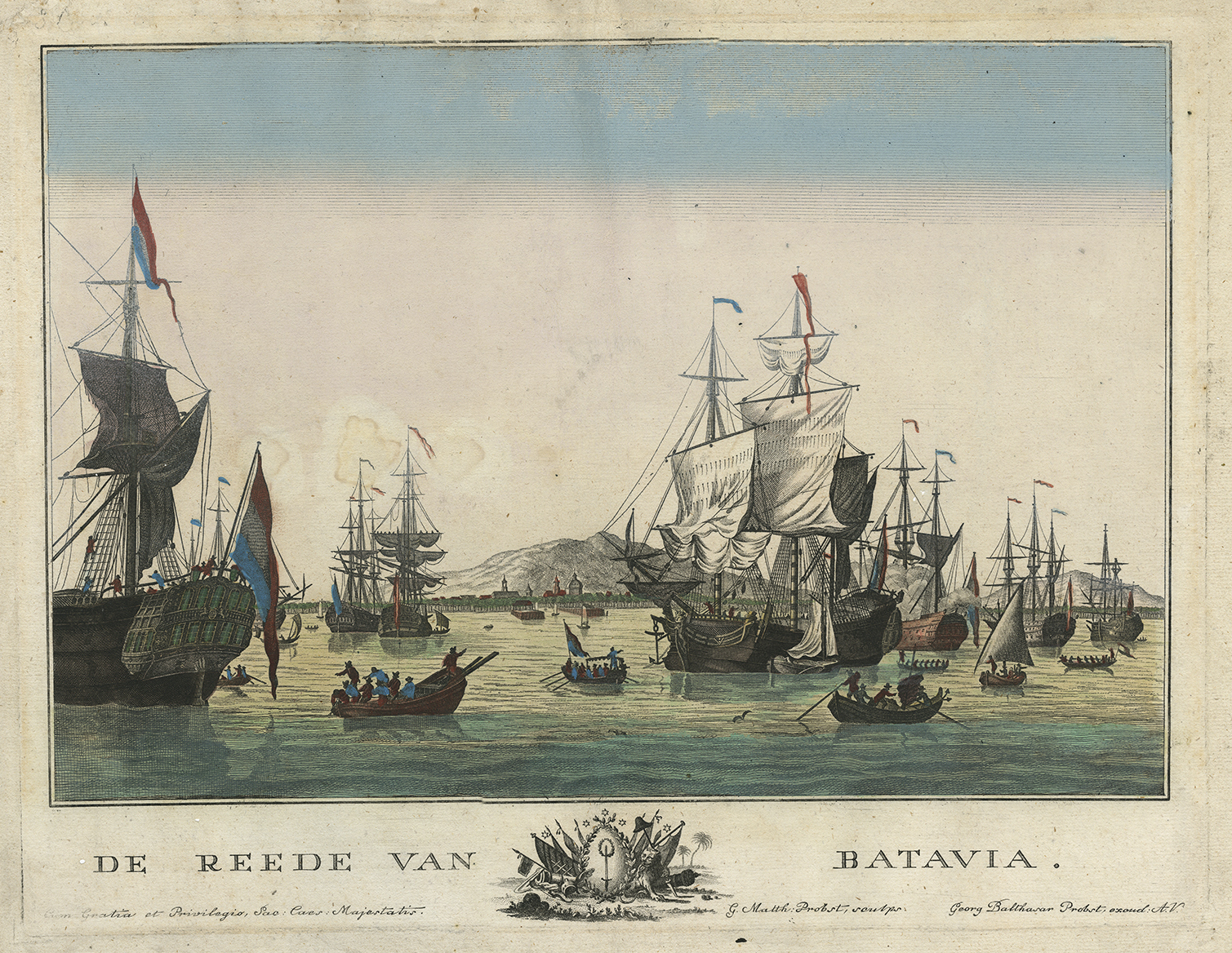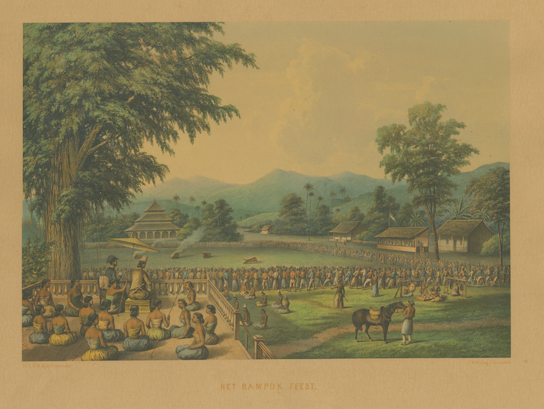
Description
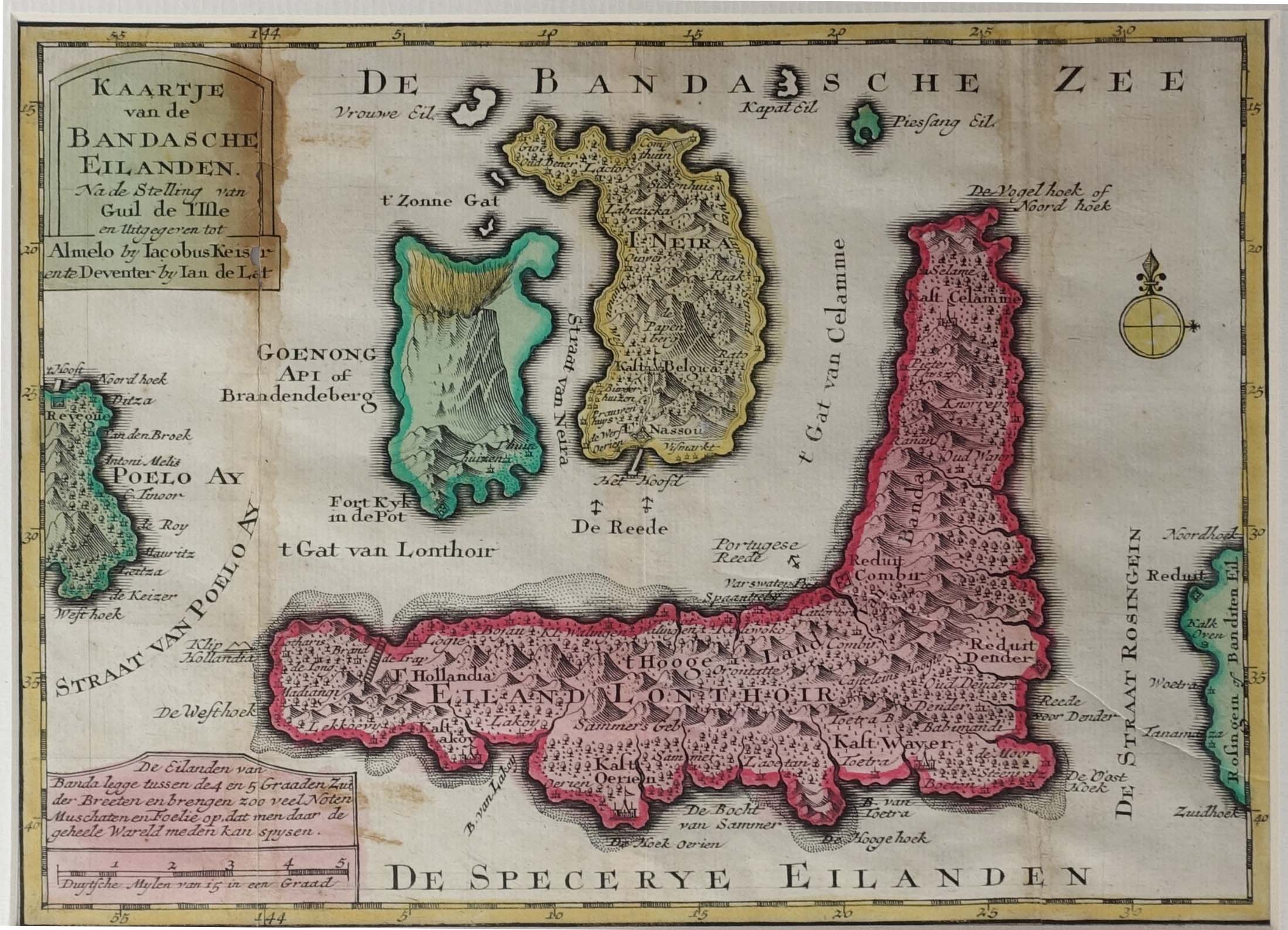
Antique map Banda Islands titled ‘Kaartje van de Bandasche Eilanden’. Rare and uncommon map of the Banda Islands, Indonesia. The map includes detailed topographical features, roads, rivers, towns, smaller islands, etc. Published by Keizer and De Lat. Based on a map by G. de l’Isle.
Jacob Keizer was a Dutch engraver and cartographer active in the first half of the 18th century. Little is known of his life, but it is assumed that he was active in Russia and Amsterdam, and later Almelo.
Condition: Fair, please study image carefully.
Overall size: 34 x 27 cm (including passe-partout)
Image size: 24 x 17.5 cm.
Purchase code : M1110
5.200.000,00 IDR incl.passepartout
325,00 Euro incl.passepartout
365,00 USD incl.passepartout
Please do not hesitate to contact us if you would like to receive more information about this antique print.