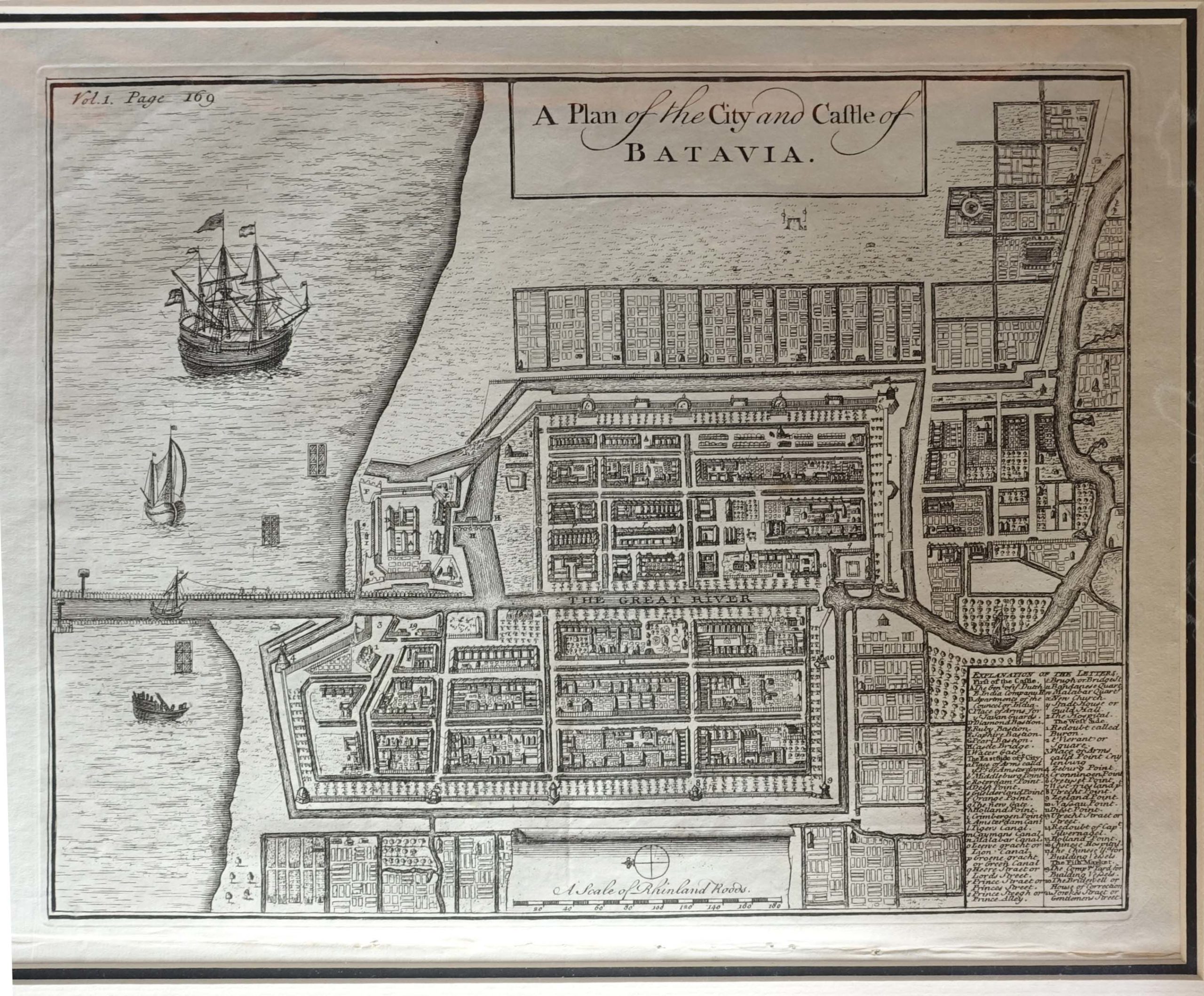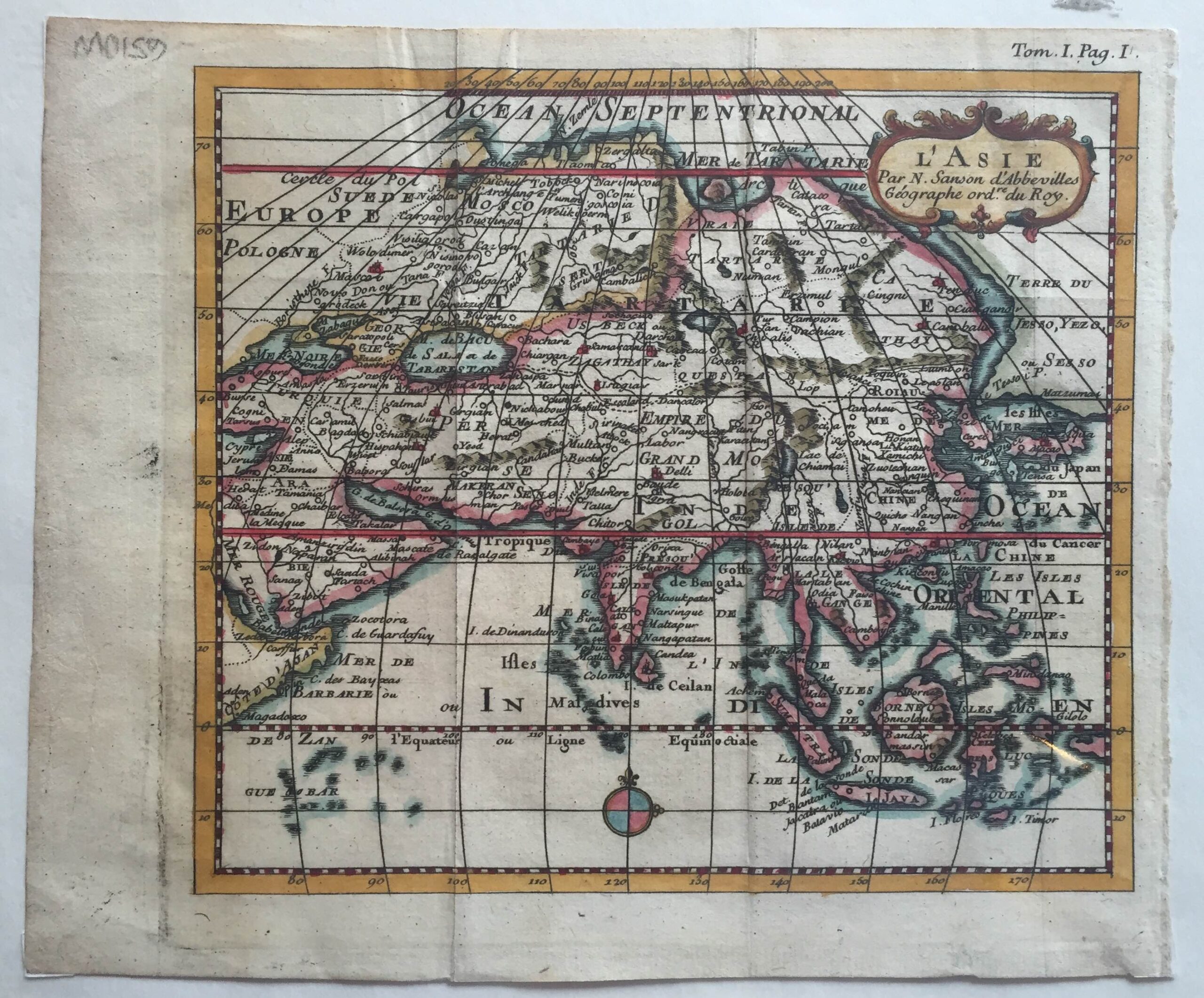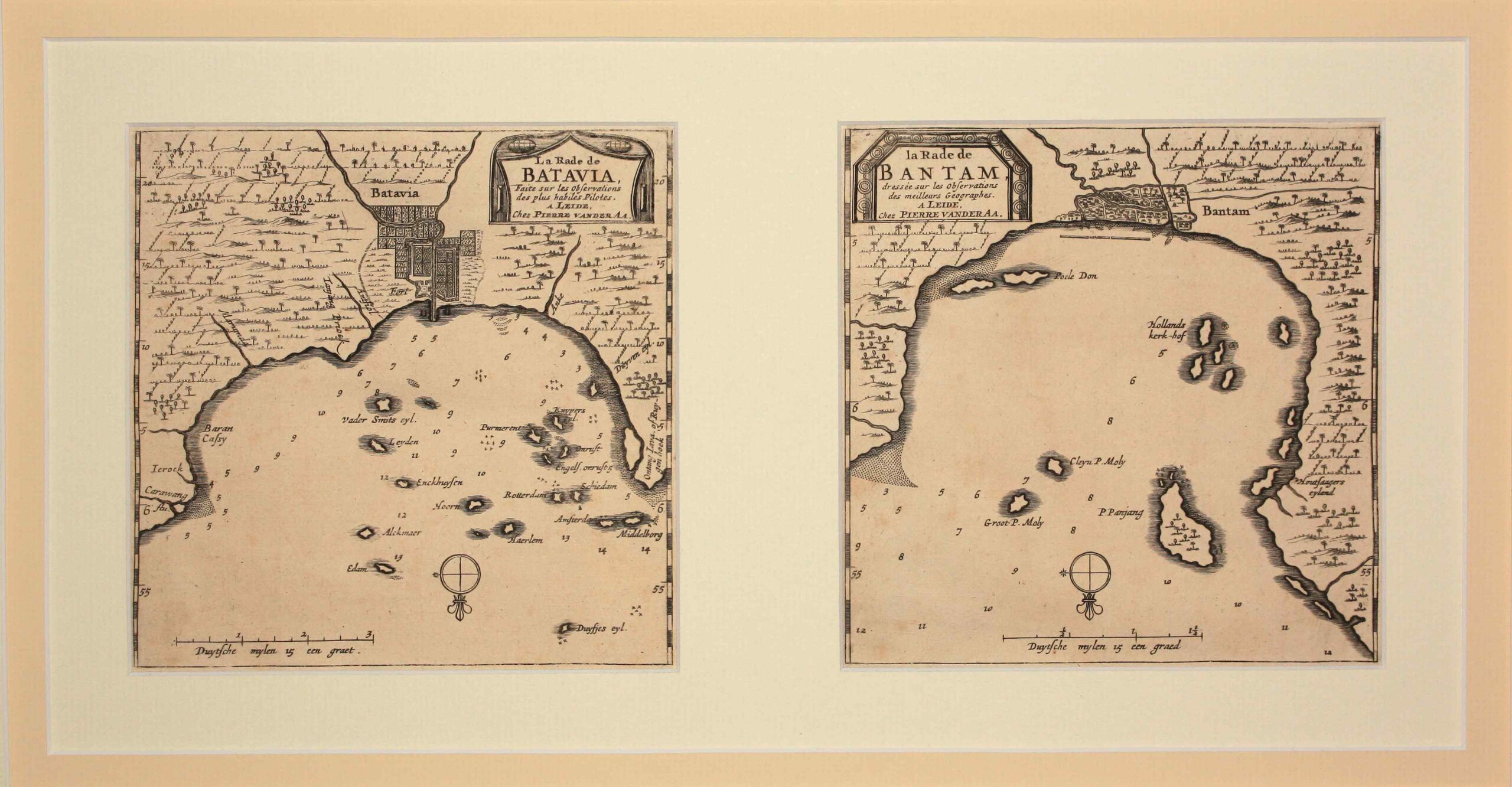
Jakarta Collection
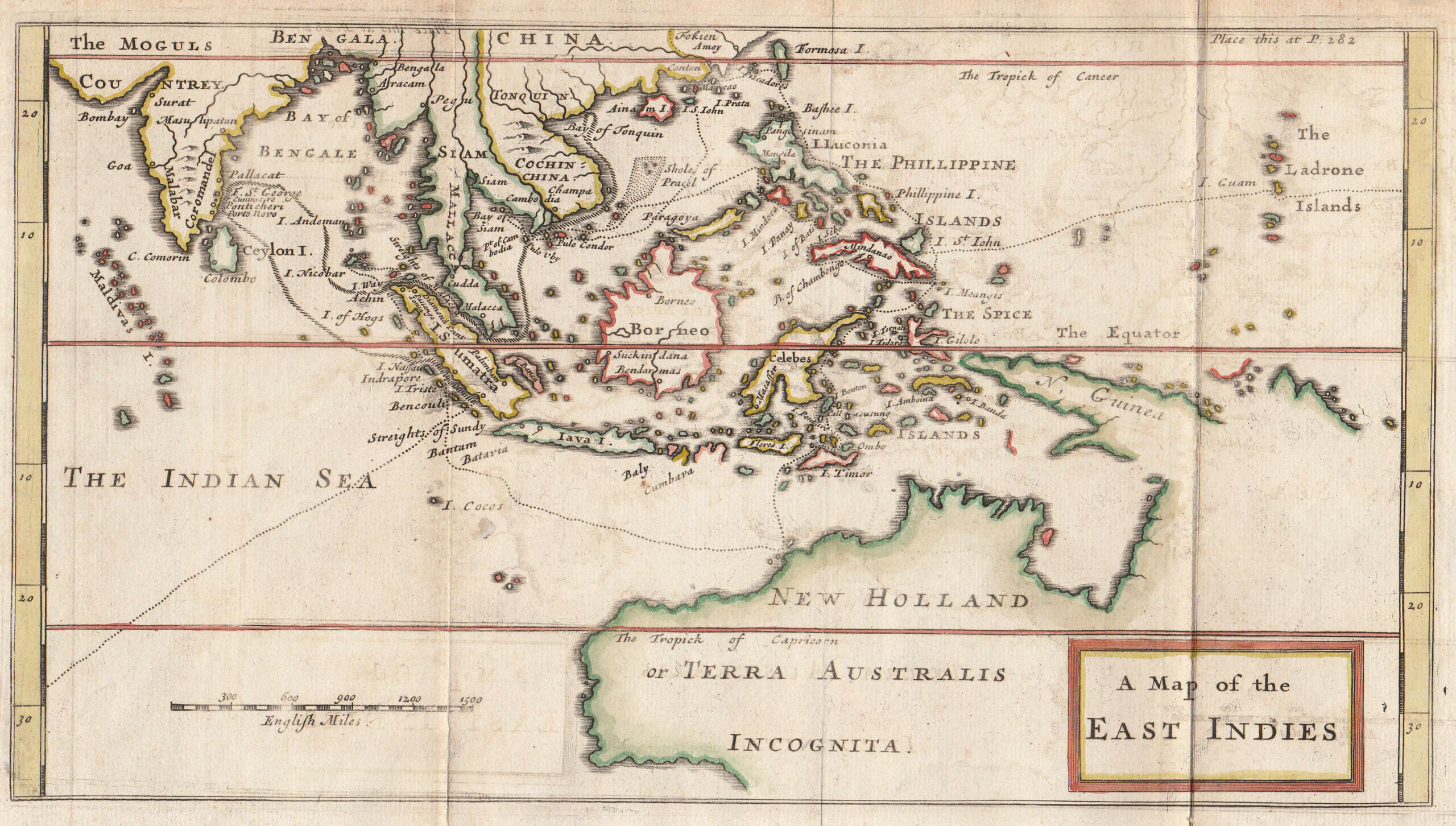
Antique Map of the East Indies by Knapton (c.1729) – SOLD
Antique Map of the East Indies by Knapton titled ‘A Map of the EAST INDIES’. An early 18th century original outline colour British map of Southeast Asia from India to Australia (New Holland or Terra Australis) by Captain William Dampier (1652-1715) hydrographer and world circumnavigator (1697 – 1709) from his voyage to Australia in the Roebuck between 1699 and 1701. Published in London by James and John Knapton at the Crown in St Pauls Church Yard c.1729. Guinea is shown possibly connected to Australia and most of Australia is designated as “Incognita”. Verso has ghosting and some partial text.
Publisher: James and John Knaption
Year: c.1729
Purchase code: M1754
SOLD